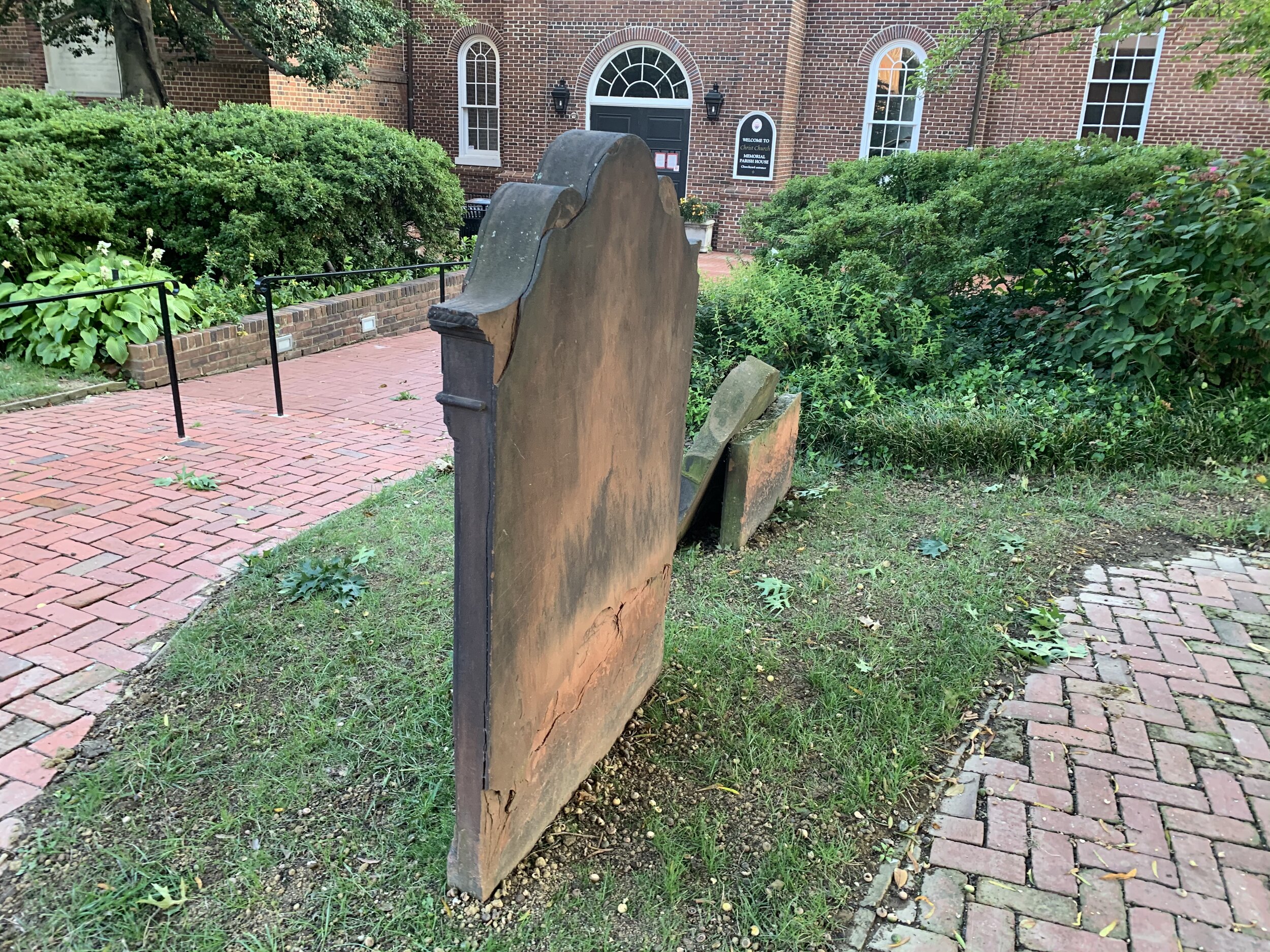
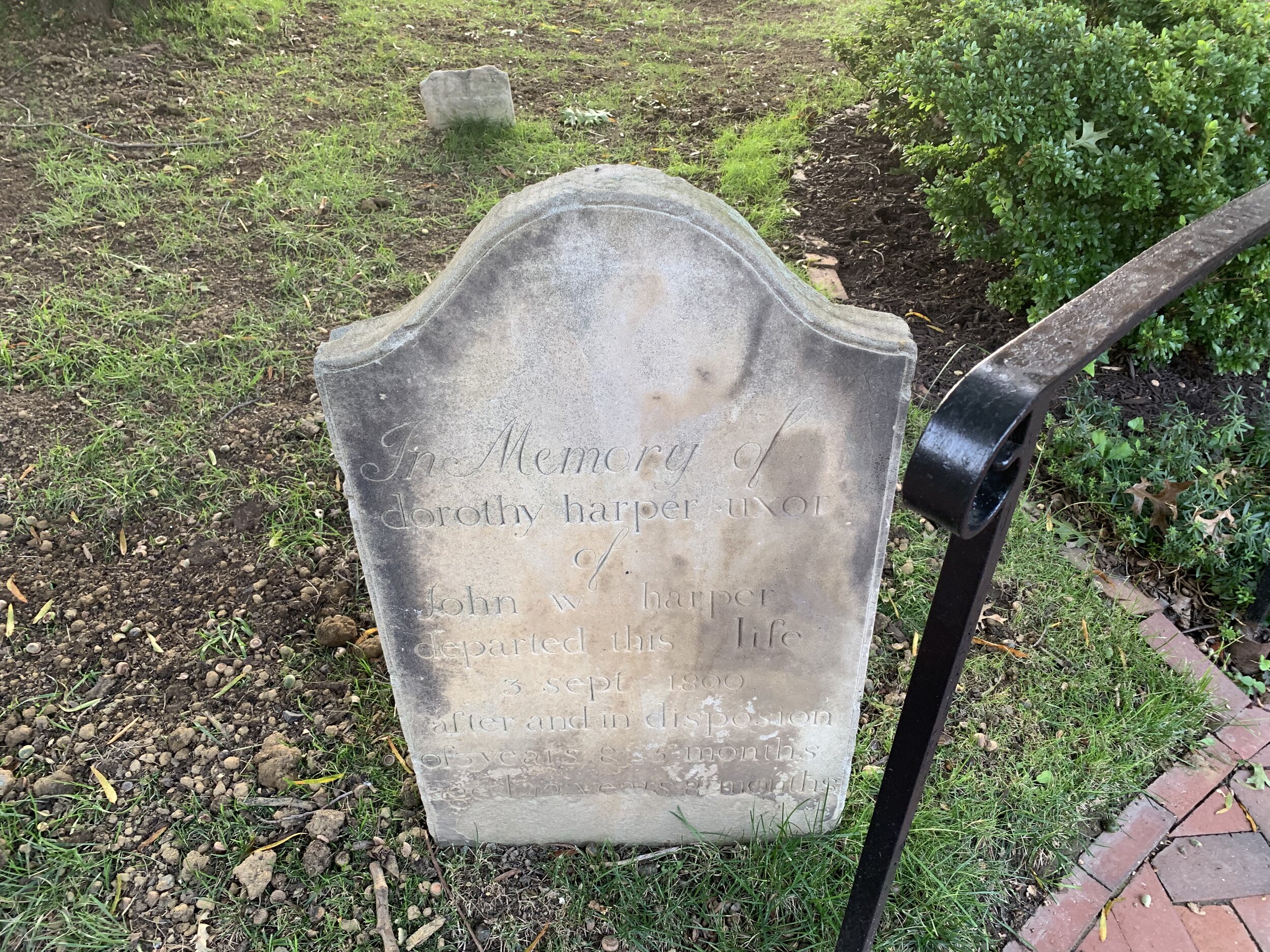
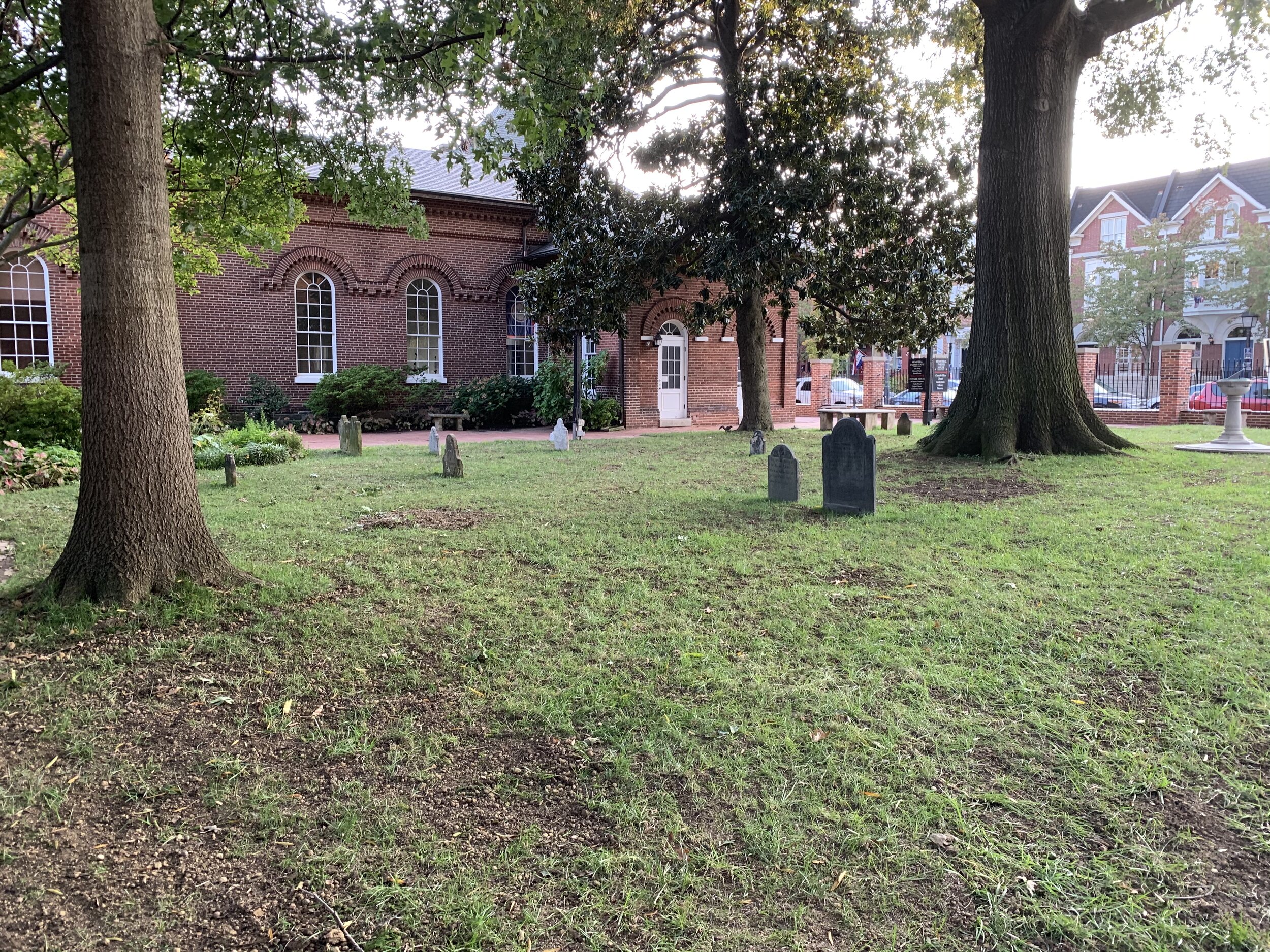
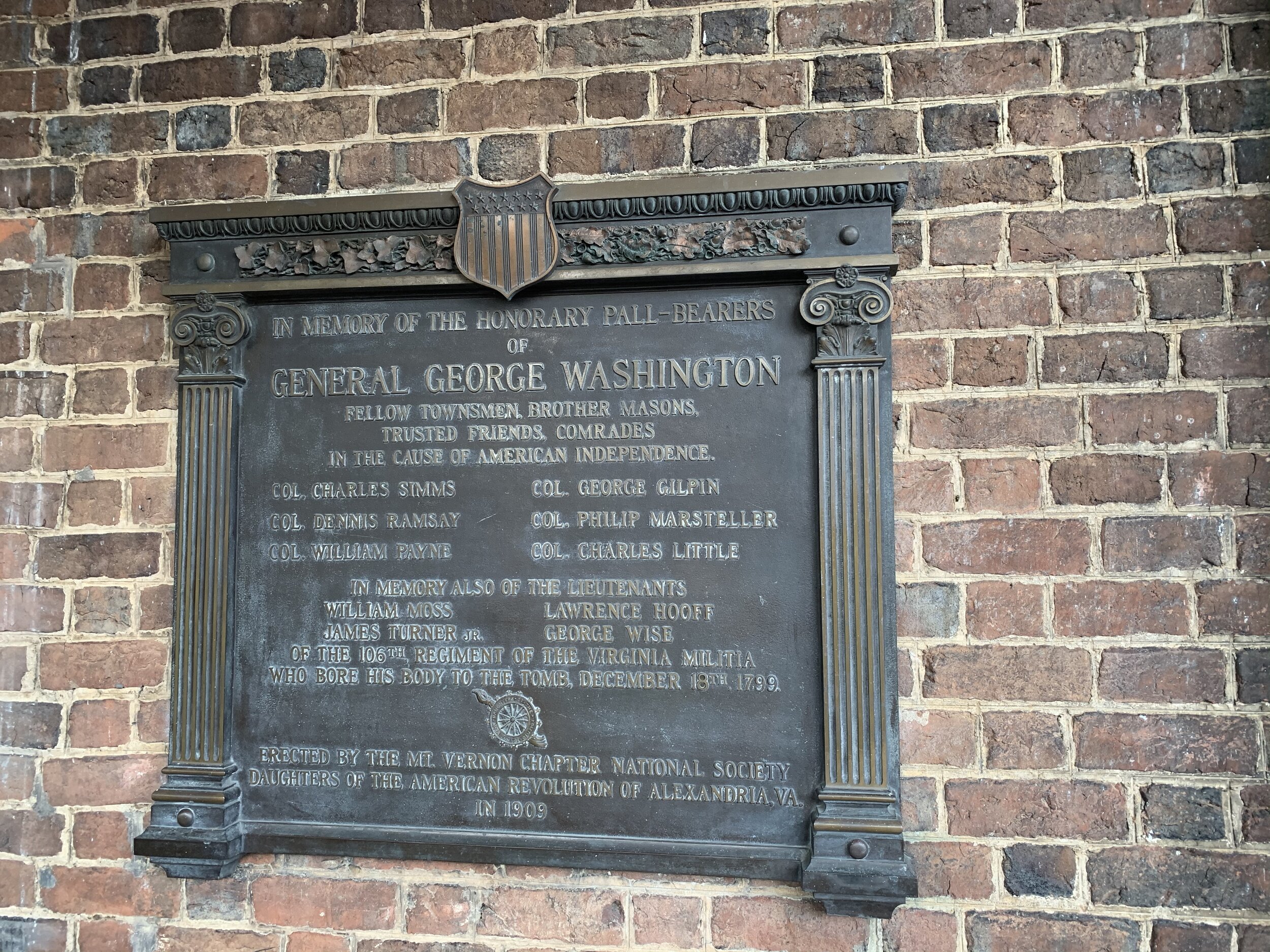
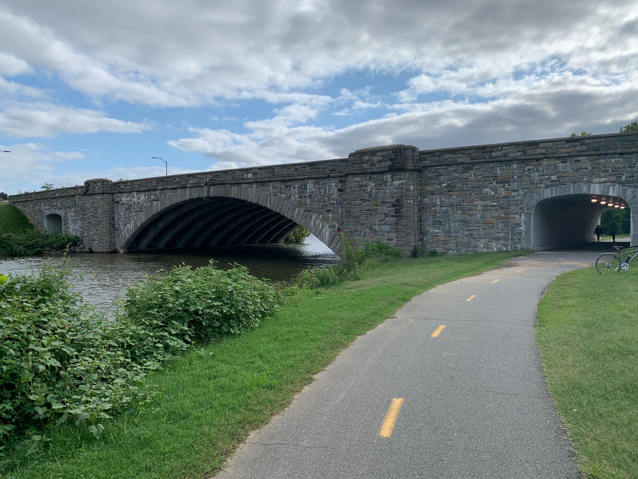
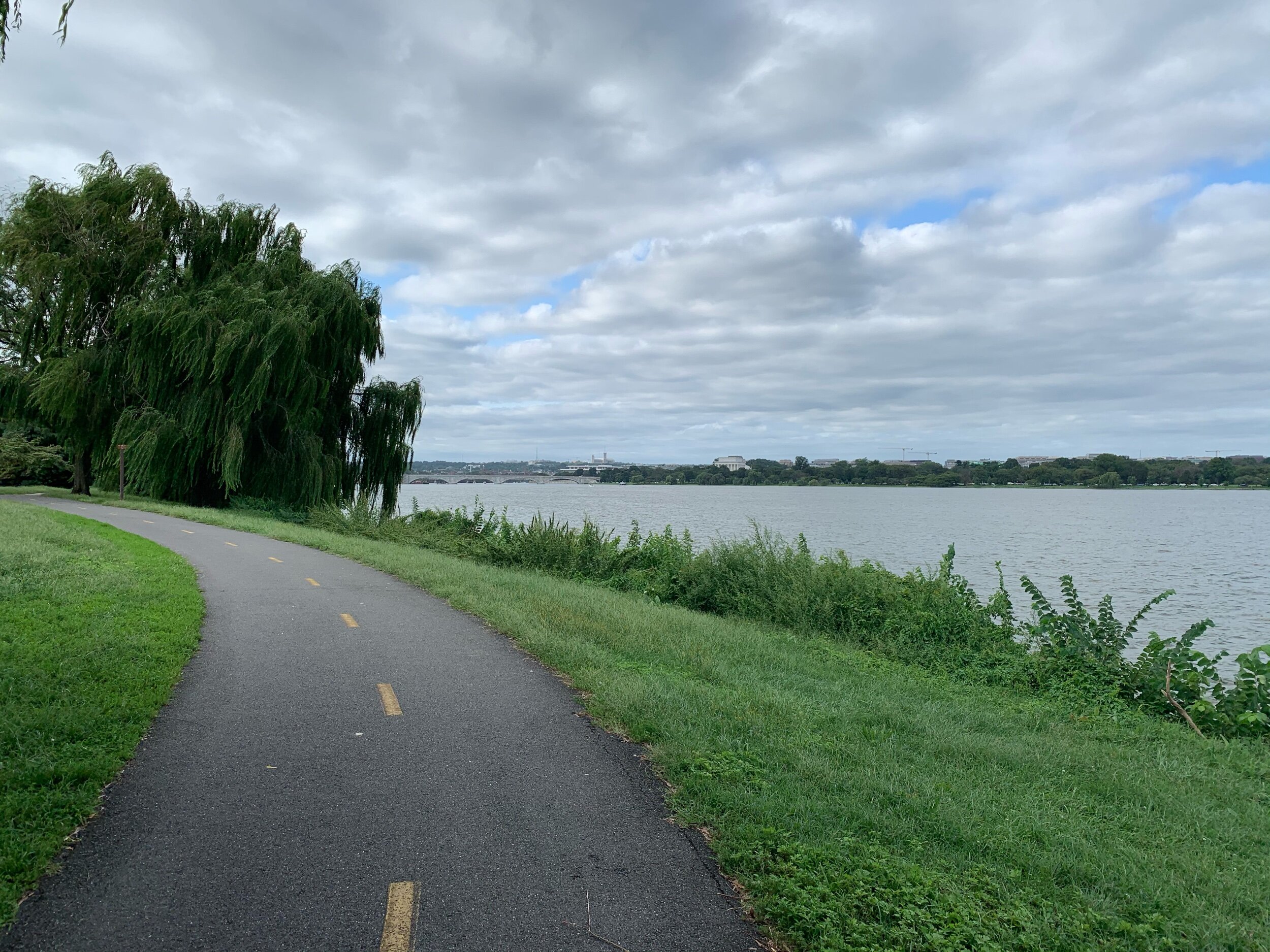
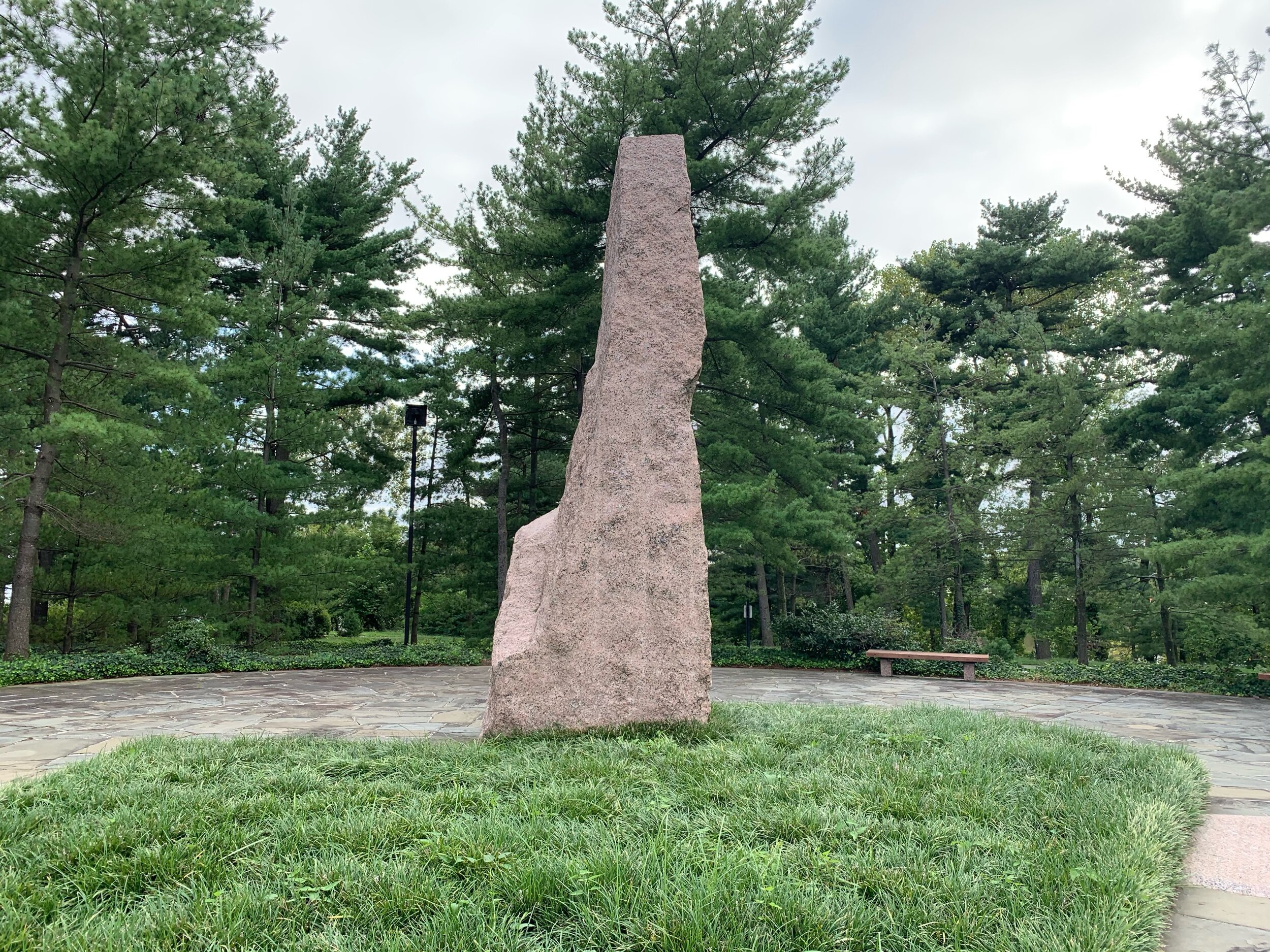
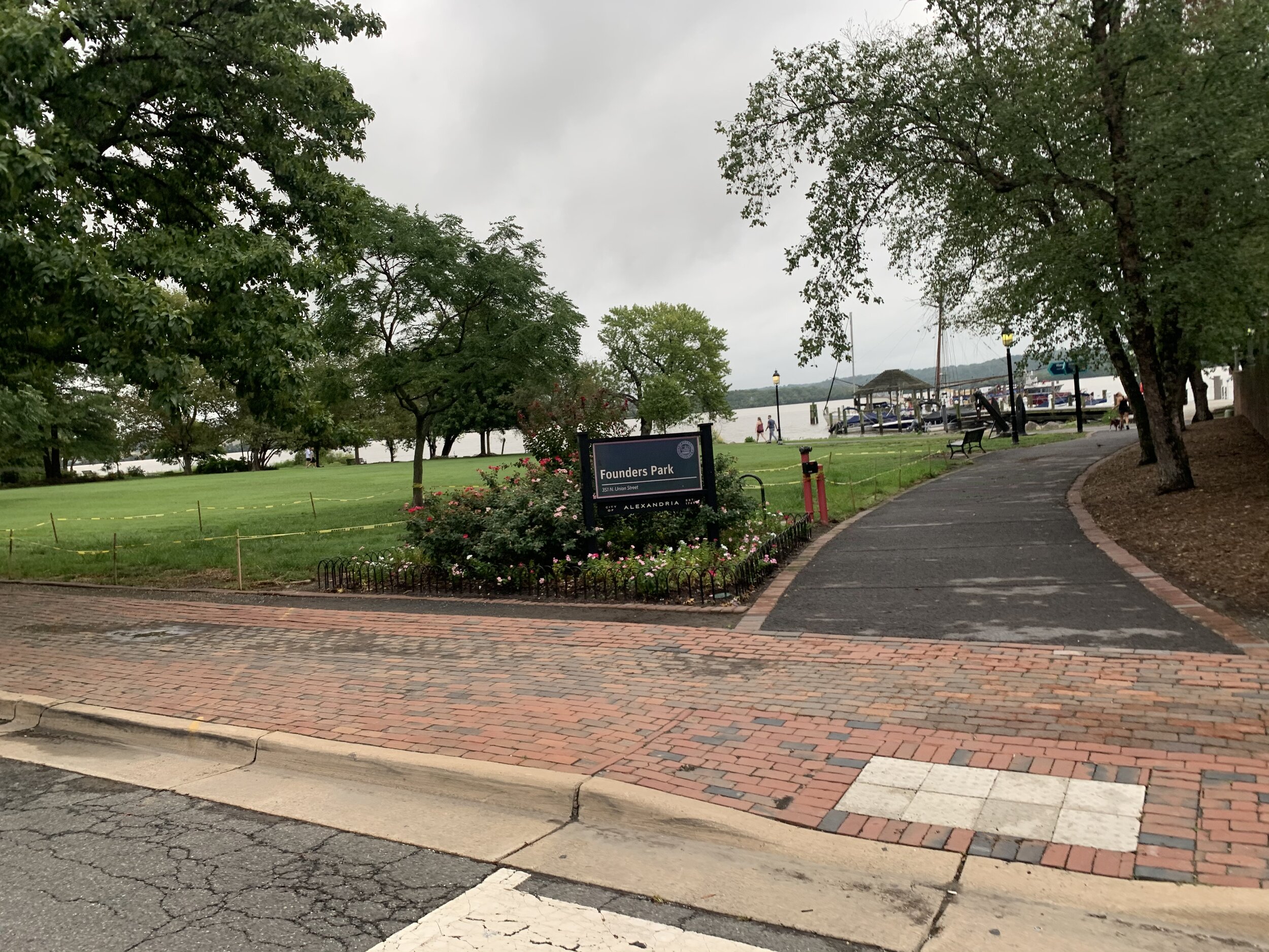
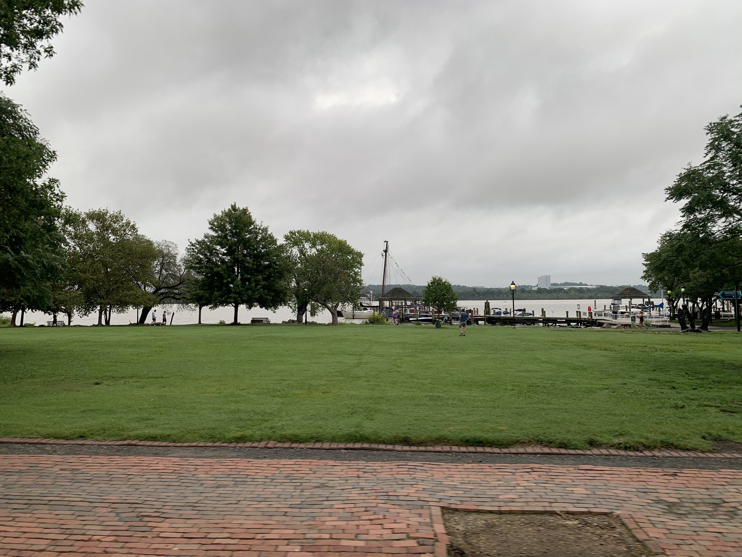
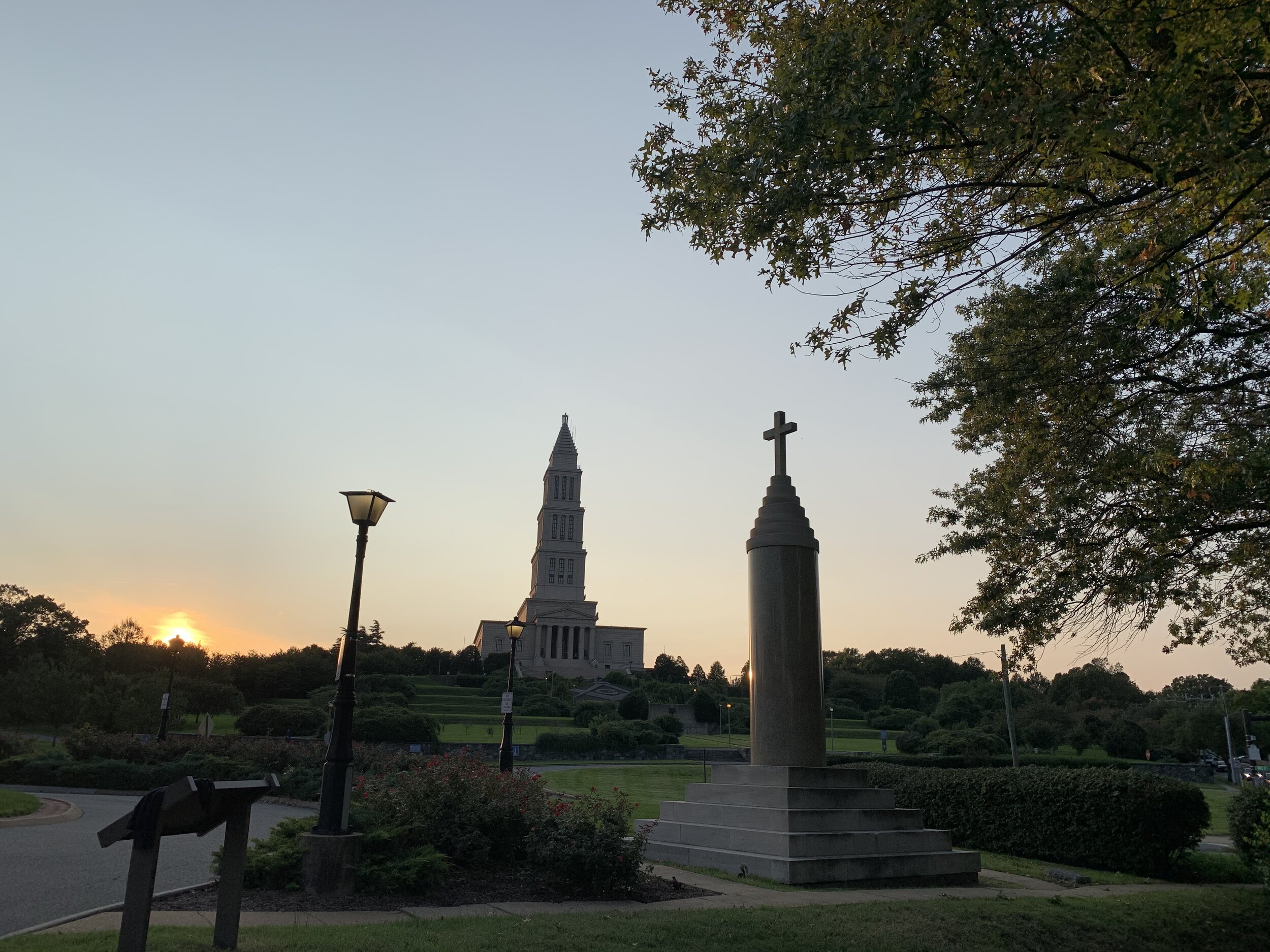
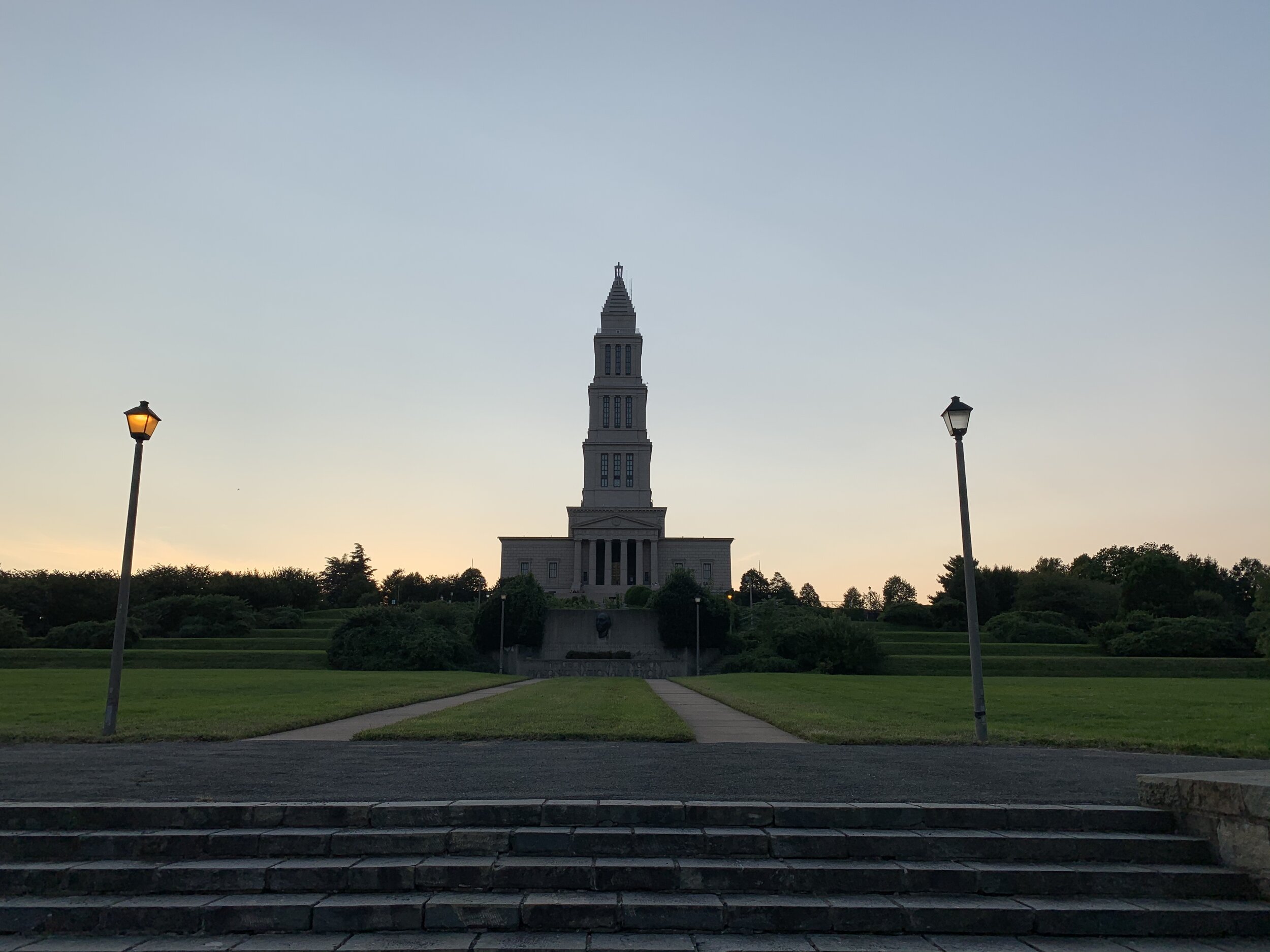
George Washington Masonic Memorial and Historic Christ Church

George Washington Masonic Memorial and Historic Christ Church

Type of Exercise: Cycling/Biking
Biking Stats:
Distance: ~20 mi (tracker battery died)
Duration: 2 hr 21 mins

This one is coming quite a bit late, due to some things that cropped up this week. Apologies!

On Tuesday evening I jumped on the bike and made my way towards Alexandria. The sun seems to be setting earlier and earlier now that the autumnal equinox has passed. My targets were a church and a massive stone memorial that looms over the entire city of Alexandria. The whole thing is supposedly modelled on the ancient light house of Alexandria (Egypt) and it contains a museum, a library, and various masonic lodge rooms.

George Washington was a mason, who had a long and impactful career in freemasonry. Around 1852 the idea of creating some sort of a masonic memorial for Washington started kicking around in Virginia. They sought funding from the state-level mason folks and then…the American Civil war broke out. They did manage to get a large statue of Washington delivered to them, but it was moved to Richmond and later burned in a fire! Just after the turn of the century Shooter’s Hill in Alexandria, a place that was once considered as a serious candidate for the US Capitol, was chosen as a site for a memorial park to George Washington by a separate association. Washington had very strong ties to Alexandria, so it was only fitting that such a memorial would be found there.

Initially, it was dedicated on the 120th anniversary of Washington’s inauguration as a park, “George Washington Memorial Park.” With the renewed interest in the early history of the country and George Washington, the masonic Grand Lodge of Virginia called a meeting of all the grand lodges to discuss forming an association to build a grand masonic temple dedicated to George Washington. None other than President Taft, himself, spoke at the meeting and an association was formed to build a large masonic temple for Washington. Donations were made and a sight was chosen, Shooter’s Hill and the George Washington Memorial Park.

The masons gradually bought the land from the city of Alexandria, to whom the land was given after the park was built. Ground was broken in summer of 1922 and the dedication was in 1934. I’m unsure what the actual cost of the building was, but one estimate I saw was $6 million.

The construction of this temple also had great utility to the local masonic lodges. Fires had destroyed some historical records and items over the years. The idea of a large stone, isolated, fire-proof repository for such things moving forward was extremely appealing.

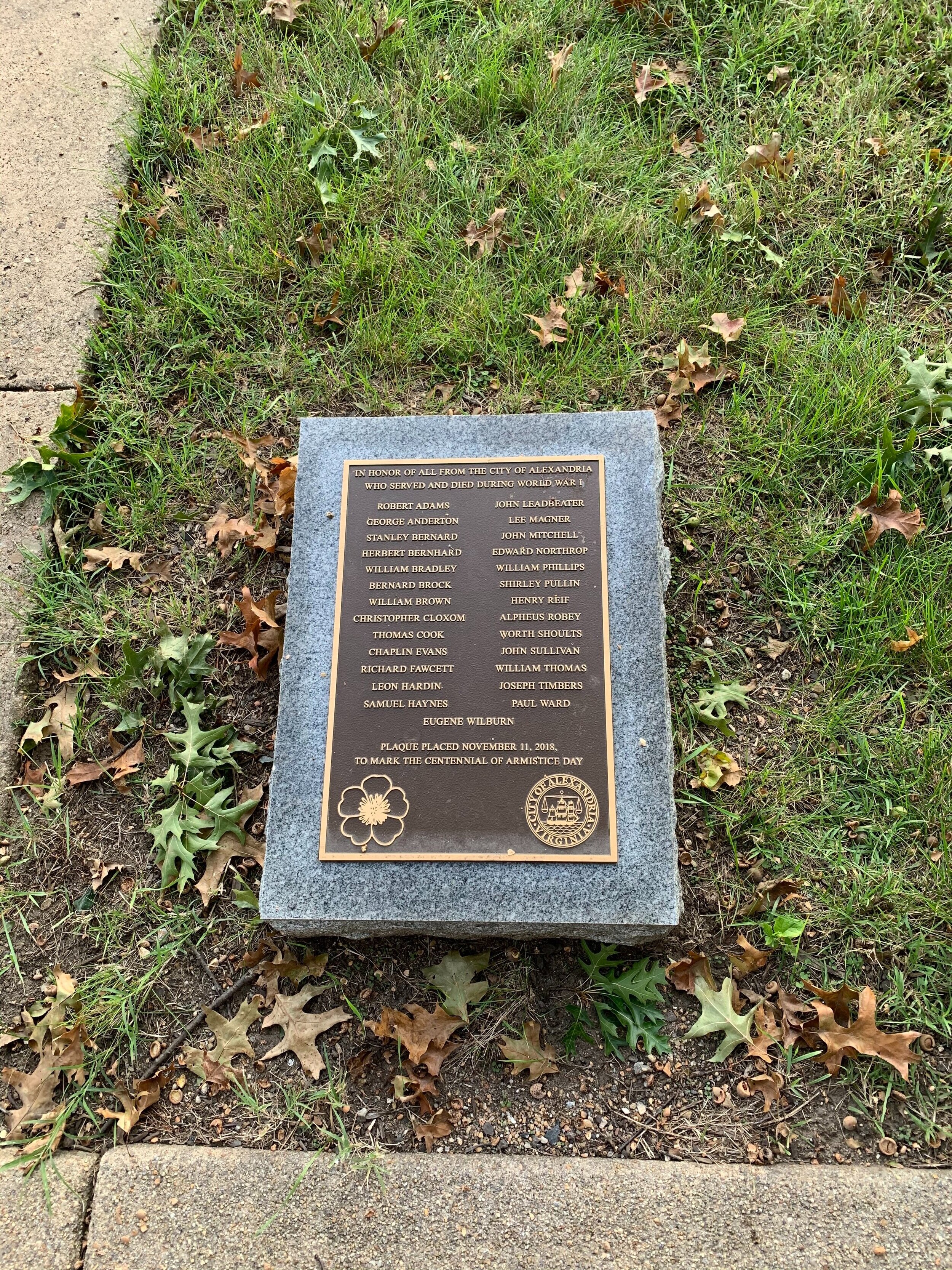
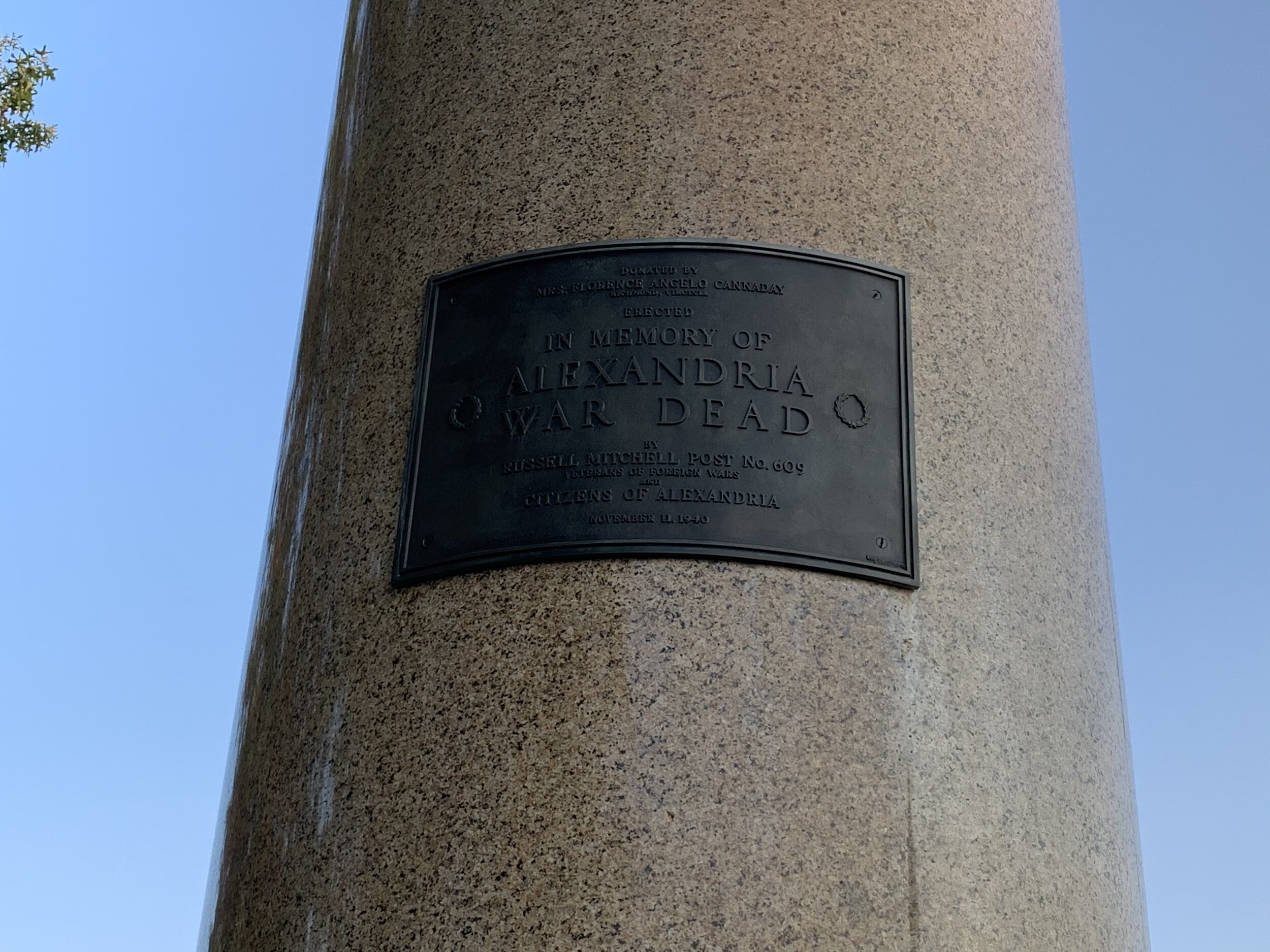
The structure is supposedly modelled after the ancient lighthouse at Alexandria, Egypt and features a super-prominent façade with Doric columns and a parthenon-esque entrance. Each floor of the building is held up by a set columns from the floor beneath. On the first floor, these green marble columns, brought by train from New Hampshire, are very prominent…and kind of in the way of a super cool mural of Washington laying the cornerstone of the US Capitol. One of the columns arrived DAMAGED and was not useable in the construction of the memorial, so it was donated to the VFW Ladies Auxiliary. They used that column in a memorial to the Alexandria war dead of the First World War, and it sits in front of Alexandria Amtrak station, just across the street. I took some neat pictures of the Masonic Memorial and the WWI memorial together.

Another fun fact, referring back to that mural: The cornerstone of the US Capitol has been lost. They don’t know where it is. There are theories and there have been searches, which produce convincing candidates, but none so far has produced the single silver plaque said to be on the bottom of the cornerstone. To this day, no one knows for sure where it is!

On the inside are various lodge rooms and places where the masons can do their business. There’s also a library, a theater, and a few museum exhibits. You can tour the masonic memorial and go up to the observation deck near the top to look out over the City of Alexandria and the surrounding area. The museums inside are:

The Family of Freemasonry (about al of the types of freemasonry)
The Form and Function of Freemasonry
The Golden Age of Masonic Architecture

One really cool thing that I’ve seen while on a tour is Washington’s death clock. It’s on display in the Replica Lodge Room along with a number of other George Washington relics. What is the death clock? (I call it his death clock I guess) The clock’s weight was cut by a doctor the moment that Washington perished from a nasty throat infection. He was out on his horse one chilly December morning in the snow on his estate in Mount Vernon. Washington would ride across the estate, checking on various ventures and on-going projects. On that particular day, snow turned to sleet and then to rain. He arrived back to the mansion without much time to change his damp clothes before dinner, and he elected to sit down to dinner rather than change. From what I read, this was not necessarily because he was stubborn about holding to a particular schedule but instead about the many guests/drop ins that the Washingtons would have to endure. People would regularly come to meet the first president of the United States with letters of introduction in-hand from some common friend/acquaintance. Anyway, he went out again the next day in the cold, and on the night after that, he woke up with difficulty breathing and a sore throat. His doctor was summoned, and in the meantime another doctor engaged in the barbaric and simple-minded process of bleeding the general. It probably made things quite worse, but by modern medicinal standards at the time, this would have been prescribed. They were still in an era; wherein, it was believed that a balance of fluids of the body or “humors” was the crux of health. An imbalance of these fluids was the root of all sickness and disease. They also induced blisters on the patient, a process achieved by heating up a glass cup over a flame and then applying it to certain places on the skin. The blister caused by this barbaric treatment would leak, thus expelling a fluid thought to be had in excess. A few days later, the general died and his bedchamber clock was permanently frozen at his time of death, 10:20 PM.

You can learn much more about the George Washington Mason Memorial here and even take virtual tours of its facilities!

Historic Christ Church

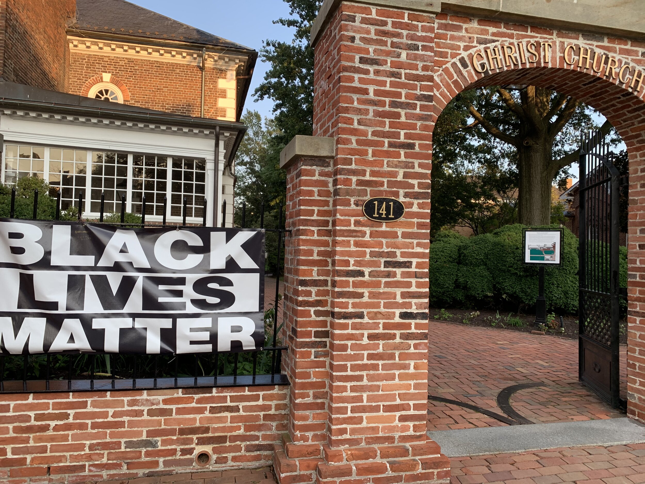
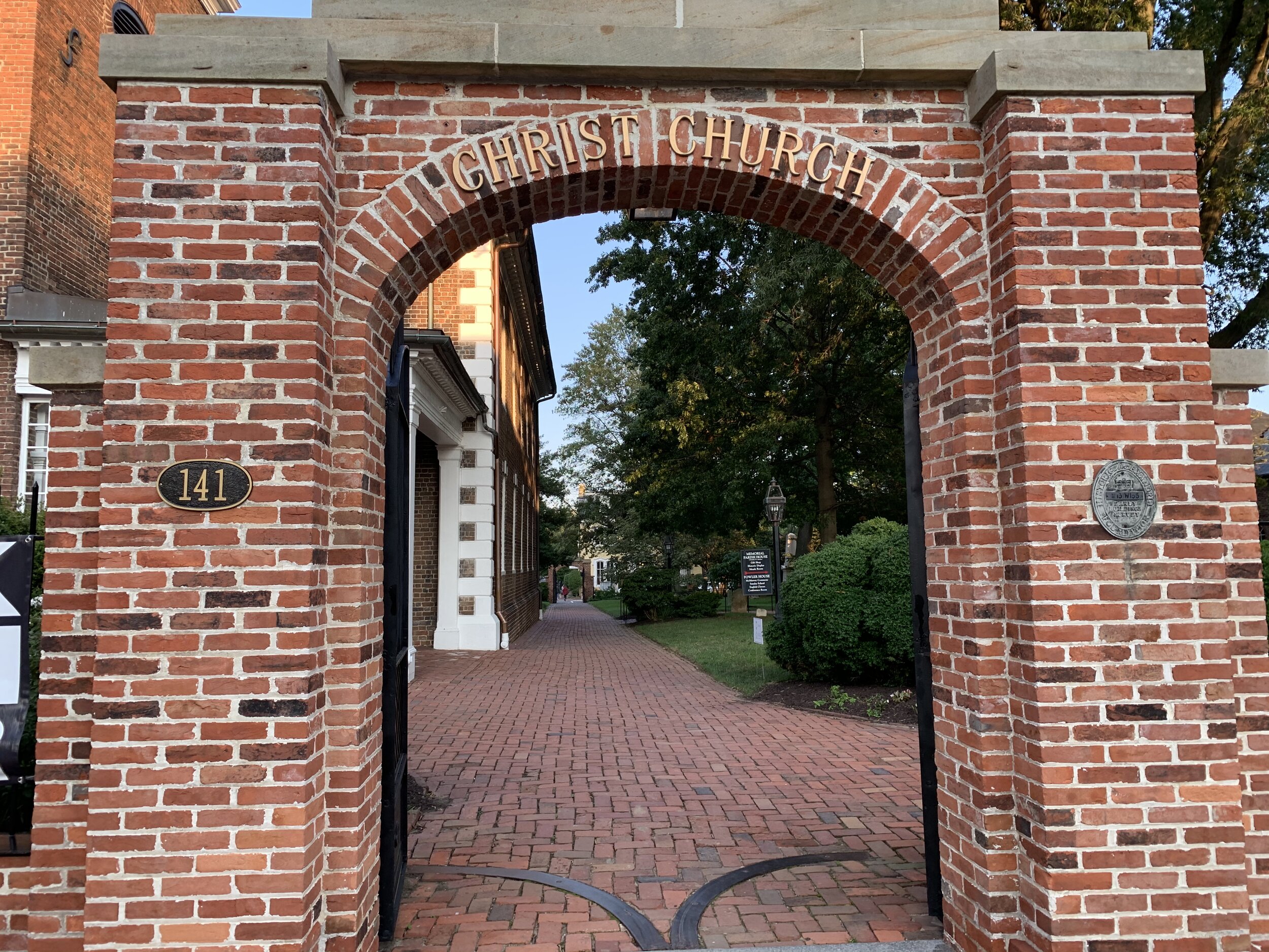
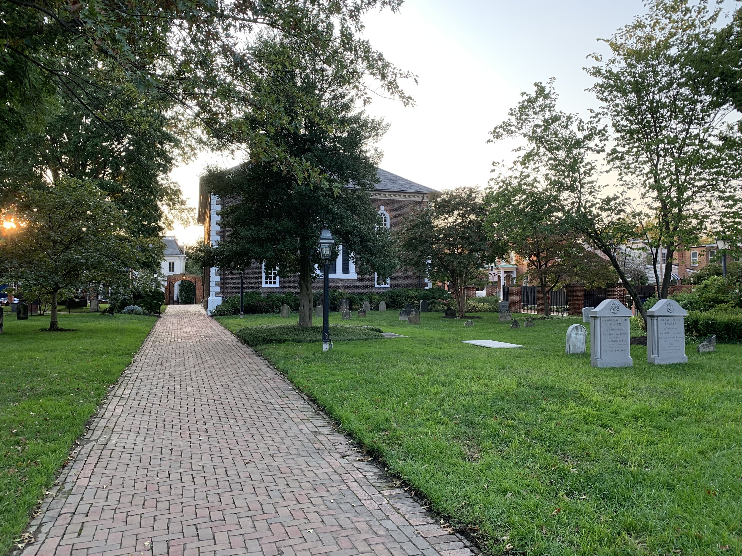
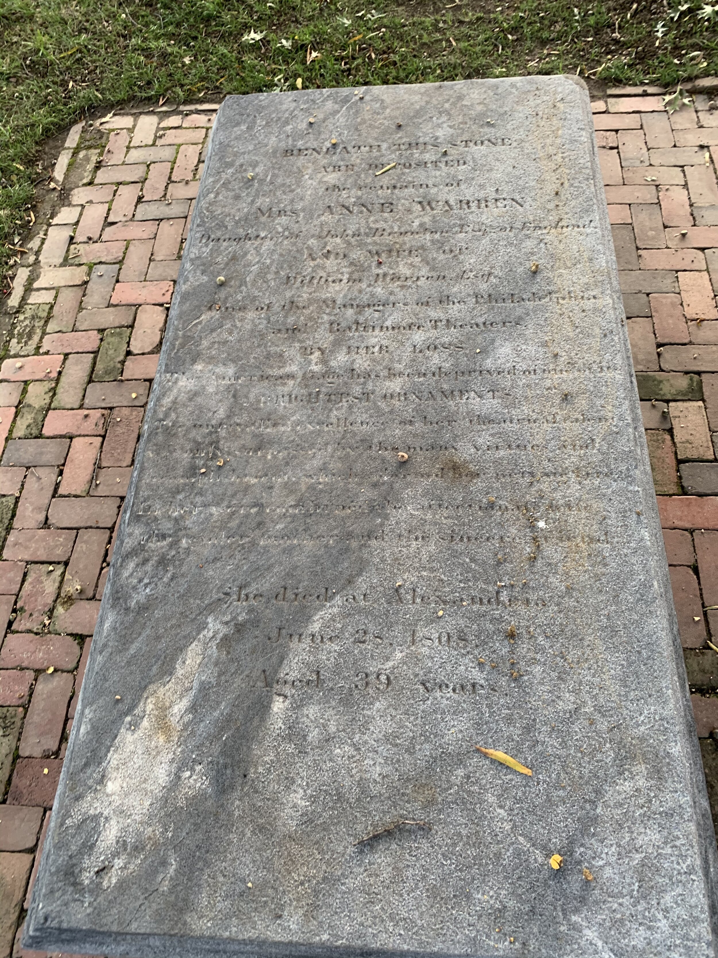
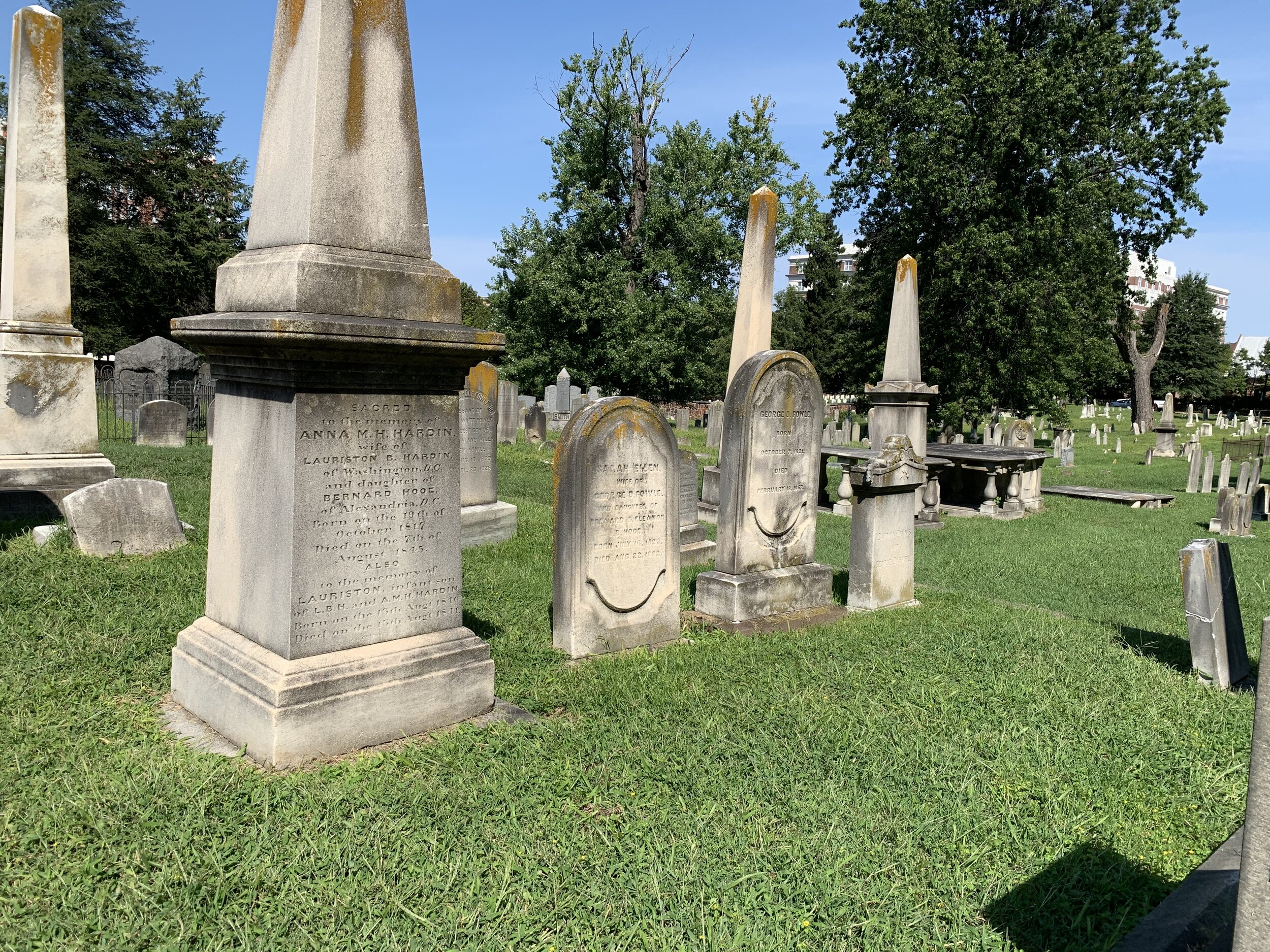
Christ Church is a landmark in Alexandria Old Town. It completely splits one of the city’s arterial streets, which ultimately leads to the King Street Metro Station. The church was originally a simple square building, erected in 1773 (just 4 years before the declaration of independence). Naturally, it was an Anglican church (very soon NOT to be), and the church was attended by George Washington. The pews were boxes, which were owned and paid for by parishioners. The church was built because of the need for such a place in Fairfax Parish. Actually two churches were needed to serve the people in the Fairfax Parish area; one was Christ Church and the other was Falls Church. You may recognize the second church as the name of another Washington Area suburb in Fairfax County. The church was added to over the years and received among other improvements, a church tower, balcony, wine glass pulpit, and community center. Funny story about the wine glass pulpit: it was put in the church and then later removed, only to have another reinstalled years later. C’mon, people, make up your minds. During the civil war era, the church had chimneys and stoves to heat the church. These were later removed. The church has a very old grave yard, which is the final resting place of former Treasury Secretary Henry Fowler and his wife. There is also a mass grave for confederate soldiers, who died as prisoners of war in Alexandria.

I took some cool pictures of the church and the graveyard before moving along to the George Washington Masonic Memorial. I then decided to take a trail that I’ve been meaning to explore for a while now. It’s called the Potomac Yard Trail, and it lies parallel to the Mount Vernon Trail, heading North towards Potomac Yard from Alexandria. The trail was busy but enjoyable. There were not needless interruptions by roads, and trail users were super polite! The area that the trail covers is well developed and new. Much of the land in this area was dirt and construction when I moved here about 10 years ago. Now, there are apartments, condos, parks, supermarkets, and all kinds of things!

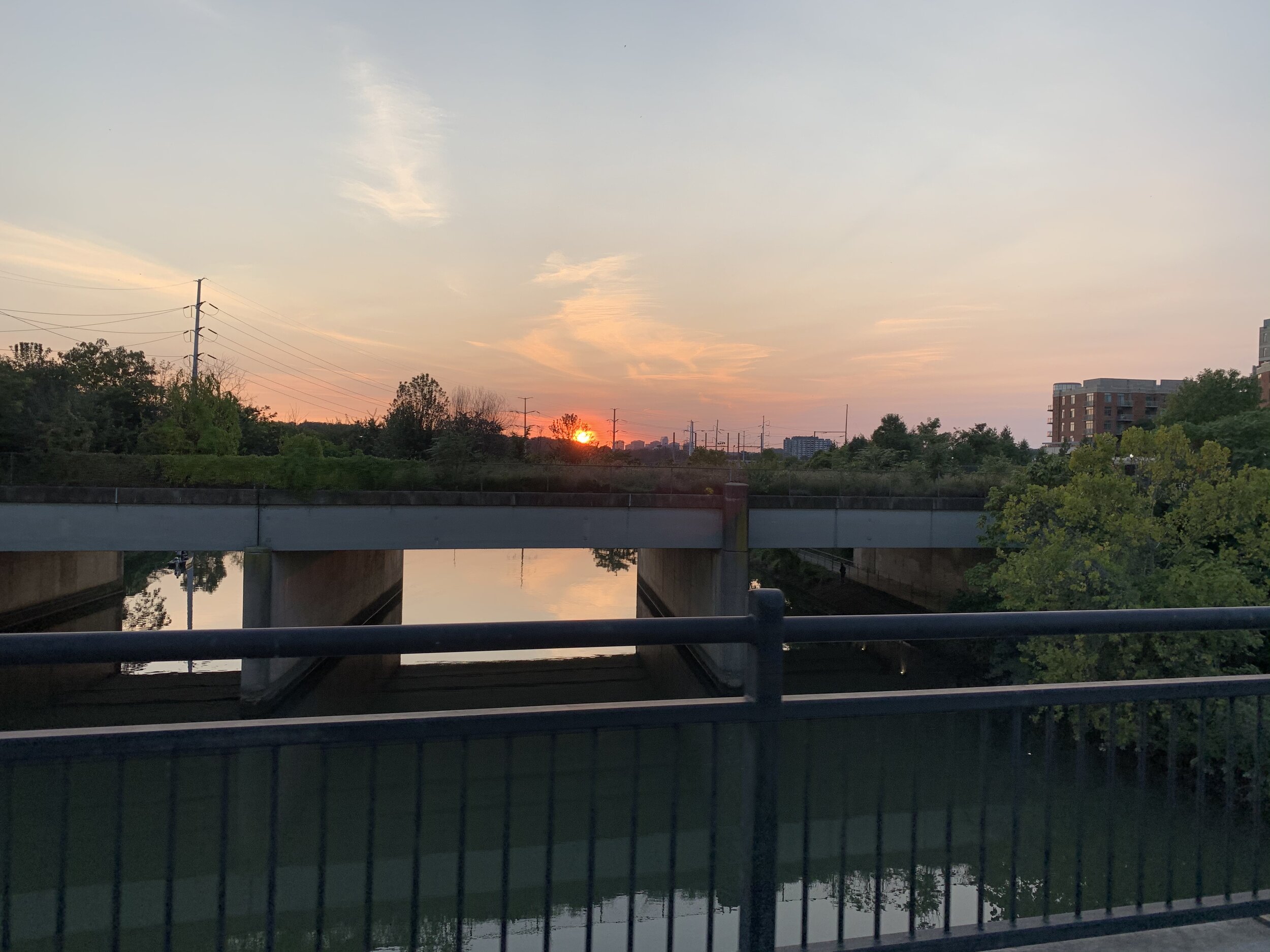
I reached the current end of the Potomac Yard Trail, past the now shutdown Regal Theater, and I found an old friend of mine, the Four Mile Run Trail. I haven’t ridden this trail, since I lived in West End Alexandria and commuted on it throughout the workweek. I took some pretty pictures of the bridges over the run before hopping on the trail via the sharp switchbacks. I missed it! I only got to ride on a tiny piece of it, but it brought back memories. The Four Mile Run trail exited me back out on the to the Mount Vernon Trail South, and I made my way home that way!

Unfortunately my fitness tracking watch died on the way home, so my trip tracking was cut short!

Hope you enjoyed and thanks for coming along with me on this ride!

THESE BLOG ENTRIES ARE PART OF MY PARTICIPATION IN MILES FOR HOPE, A MONTH-LONG EVENT TO RAISE AWARENESS AND FUNDS TO HELP MISSING AND EXPLOITED CHILDREN.
Key Bridge and the C&O Canal Towpath

Type of Exercise: Cycling/Biking
Biking Stats:
Distance: 30.94 mi
Duration: 2 hr 33 mins

On Sunday afternoon, I decided to take a meandering ride up the same trail I’ve been using all month to cross yet another bridge over the Potomac River.

Just above Theodore Roosevelt island along the river, there is another bridge, which connects Northern Virginia to Washington DC.

Francis Scott Key and the strange story of his house

The bridge is named for Francis Scott Key, the lawyer and poet. The reason it is named for the man is principally because the bridge, which now stands there, would have been practically IN HIS FRONT YARD (ok it was a few blocks away, but still). Ha! Francis Scott Key was a prominent Lawyer in Georgetown, where his home and law office was located. It sat there right on the bank of the river, and it had a smoke house as well as several other “useful outhouses.” From there, Francis Scott Key practiced law and plied his hand at poetry. His most famous poem was written after witnessing the defense of nearby Fort McHenry, during the war of 1812. Seeing the flag atop the fort the morning after a battle, he was inspired to write a poem about it, which was published as “Defence of Fort M’Henry.”

So how does one just casually witness a battle? Key and another man were guests of a US admiral on his ship during the night of the attack. They were there to negotiate the release of prisoners, one in particular that Key may have been hired to aid, who were taken prisoner by the British invading forces. It became evident by the enormous strength of the British presence that an attack was imminent, and Key basically was STUCK onboard that vessel, while the British attacked Fort McHenry. You can imagine what a night he had and also his relief at seeing the British rebuffed!

The song, “The Star Spangled Banner,” was not a thing until 2 years later. in 1814 Key took the poem to a composer who set it (very roughly) to the tune of a patriotic sounding song known as “To Anacreon in Heaven,” originally composed by John Stafford Smith, who in turn composed it for his beloved Anacreontic Society gentleman’s club in London. The “Anacreon” portion is a reference to a Greek poet who was well known for his drinking songs. Was the tune of our national anthem originally a drinking song, composed by a British man? Signs appear to point to yes. Anyway, the song became popular, and it was eventually sung more than any other song. Congress eventually pens a bill to make it the national anthem, and in 1931 President Hoover signed it into law. The third stanza of the song references slavery. It specifically references the British guarantee of freedom to American slaves, during the war of 1812. Key was a slaveholder, who problematically put down abolitionists and then later freed his slaves and somewhat promoted abolition. It’s a weird and convenient story, which I don’t have the details to.

OK, now is the part where I tell you something pretty unbelievable that I discovered about Key’s house. It was lost…by…the National Park Service. They dismantled it brick by brick in 1947 to make way for a highway with the intent to reconstruct it somewhere else…and then they completely lost it. To this day, it has not been found. There has been congressional inquiry, press coverage, and attempts to find it in all manner but the Key house has never been found/recovered! WEIRD! You can read more about it from an online book published online by the NPS themselves here.

Near the site where the house once stood, now sits a small park dedicated to Francis Scott Key. It contains a statue of him, a lattice-topped circular colonnade, and faded/scratched up waysides about Key and the Star Spangled Banner. It sits directly next to the Key Bridge and just above the C&O Canal, which caused Key quite a headache when it was opened. Basically, there was a lot of activity in his former back yard, and I do not believe he was very happy about it.

The C&O Canal and the Key Bridge

The Chesapeake and Ohio (C&O) Canal is a massive canal that runs from Cumberland, MD to Washington DC. The canal runs 184.5 miles South from Cumberland, cutting through the hills, mountains, and the Potomac Gorge all the way to our nation’s capital. I am being extra precise about the mileage, because it holds a personal meaning for me and my wife. We have biked every-single-mile of the canal AND the abutting Great Allegheny Passage (GAP) Trail, which runs 150 miles from Pittsburgh to Cumberland, MD.

The canal was used 1830-1924 to annoy Francis Scott Key and transport goods along-side the Potomac River, which would not be able to accommodate commercial traffic for certain sections. There is much published about this business venture, and there are books and books about all aspects of the C&O Canal, so I’m not going to go too deep into it. The canal runs through historic Georgetown and winds its way through canal locks and streets all the way back out to the Potomac River just South of the Thompson Boat Center in Washington DC.

When the Canal was in operation, a large aqueduct was built to carry traffic OVER the Potomac river to ANOTHER canal in present-day Arlington, VA. The canal was called the Alexandria Canal, and it took those canal boats to…yeah you guessed it. That GIANT aqueduct eventually became a victim of the era of its construction. They installed a road ON TOP of it. Then after years of disuse and annoying ice damming on the river, it was finally decided that the disused aqueduct would be removed and replaced with a more modern bridge, which could accommodate more contemporary needs. Something fascinating about the time: all around the area where Arlington and greater Alexandria are today were fields and farms! There were no buildings! Rosslyn, VA - grass and trees, that’s it! The only remnants of the dismantled aqueduct are the stone abutment structures on either side of the river. I stopped while on the C&O Canal to take a picture of what remains there. Today, it seems to be a gathering place for people to smoke marijuana while looking at the river. Trippy?

Bridge construction began in 1916 by the Army Corps of Engineers. Two concrete plants were constructed near the site in order to provide the MASSIVE amount of concrete that would be needed to complete this huge and expensive bridge. One plant delivered concrete by means of a ropeway conveyer to the workers on the bridge. Have you ever been in one of those bucket ski-lifts? Imagine that. That’s how they were sending concrete up to the workers from the shore. Another concrete plant was constructed MID-RIVER. Yes, it sat in the middle of the river! They floated it out into the river, and then sunk it down to the riverbed! Amazing!

The bridge project was so expensive that it ran out of money, and the architect had to go back to congress to ask for an additional 1.1 million dollars in order to finish the bridge. Now, people who work in budget (like my wife) would say… “1.1 million dollars? That’s a steal!” And they would be right in today’s terms, but that was a lot of money in 1920! Finally in 1923 the bridge was completed, opened, and turned over to Washington DC by the federal government.

The bridge saw additional renovations, additions, and adjustments in 1939, 1955, 1987, 2014, and 2016. Today, it still stands, spanning the River between Rosslyn, VA and Georgetown, and it serves automotive, pedestrian, and bicycle traffic.

So, earlier I told you that I stopped on the C&O Canal trail and took a picture of the aqueduct ruins, but I didn’t necessarily stop there on purpose. Somewhere along the way, I punctured my tire and developed a slow leak, which became apparent on the C&O Canal Trail. After almost taking a few mouthfuls of the hard canal trail gravel, I pulled over to discover a full-flat tire. No problem! I come prepared! I whipped out my extra tube, tire lever, CO2 cartridge, and bike pump, and I got to work replacing the tube. My small pump is not the most amazing thing (I’m thinking about replacing it) but it was enough to supplement the CO2 to get me to a wimpy 60 PSI. That would allow me to limp the 15 miles back home, until I could use my really good bike pump. I pushed hard and got the bike home, and then I proceeded to mow the lawn! Should I count THOSE miles too? :-)

Thanks for coming along with me!

THESE BLOG ENTRIES ARE PART OF MY PARTICIPATION IN MILES FOR HOPE, A MONTH-LONG EVENT TO RAISE AWARENESS AND FUNDS TO HELP MISSING AND EXPLOITED CHILDREN.

Netherlands Carillon and USMC War Memorial

Netherlands Carillon and USMC War Memorial

Type of Exercise: Cycling/Biking
Biking Stats:
Distance: 29.62 mi
Duration: 2 hr 19 mins

This morning was another early one. I knew I’d have about 30 miles to cover in total, so I got out the door and got going up the trail. It was dark when I started out, and I chased the sunrise over the Potomac River as I made my way up the Mount Vernon Trail.

The traffic was heavy this morning as I crossed over the two forks of Washington Blvd in Ladybird Johnson Memorial Park, but I found that drivers were happy to slow and stop at the crosswalks to allow me to cross, which is quite refreshing!

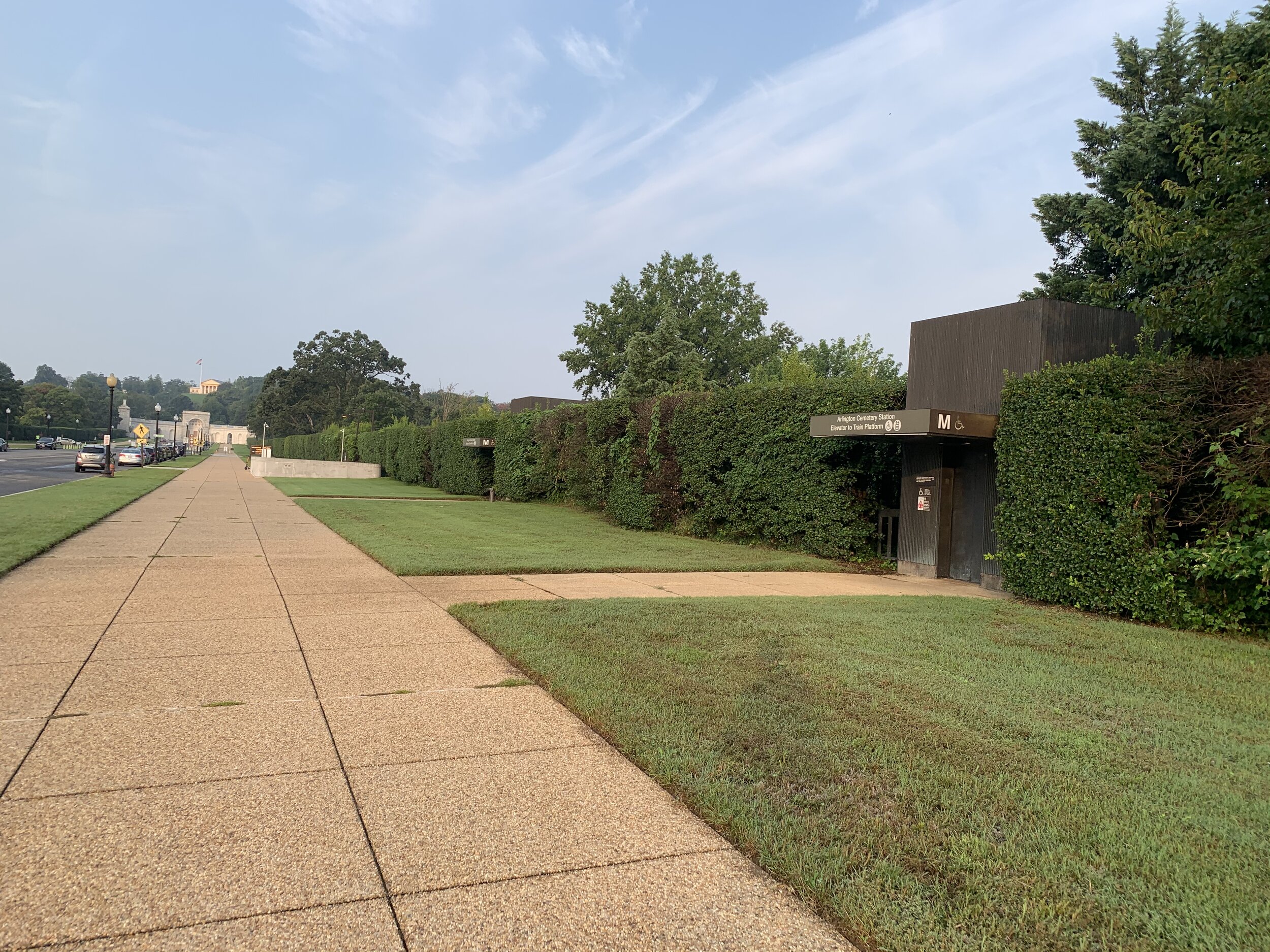
As I passed by Arlington Cemetery, things had hummed to life. Folks were out recreating on the sidewalks along Memorial Avenue, the long avenue which leads into the cemetery. I passed a line of rental limousines and a number of very well-dressed people mulling about along the avenue near the metro station. I could not quite tell if they were there for a funeral, or if they were a foreign dignitary visiting the cemetery. I didn’t notice a security detail around them, so I think a funeral is the more likely reason for them to have been there.

To get to my destinations this morning, I had to bike as if I was going to the cemetery and then veer off on a small trail just before entering the grounds. The trail follows the Northeastern boundary of the cemetery, and the neatly arranged headstones gleamed in the morning sunlight as I passed by. Two marines were out for a ruck march on the trail in BDUs . The weather was absolutely perfect to be out and about.

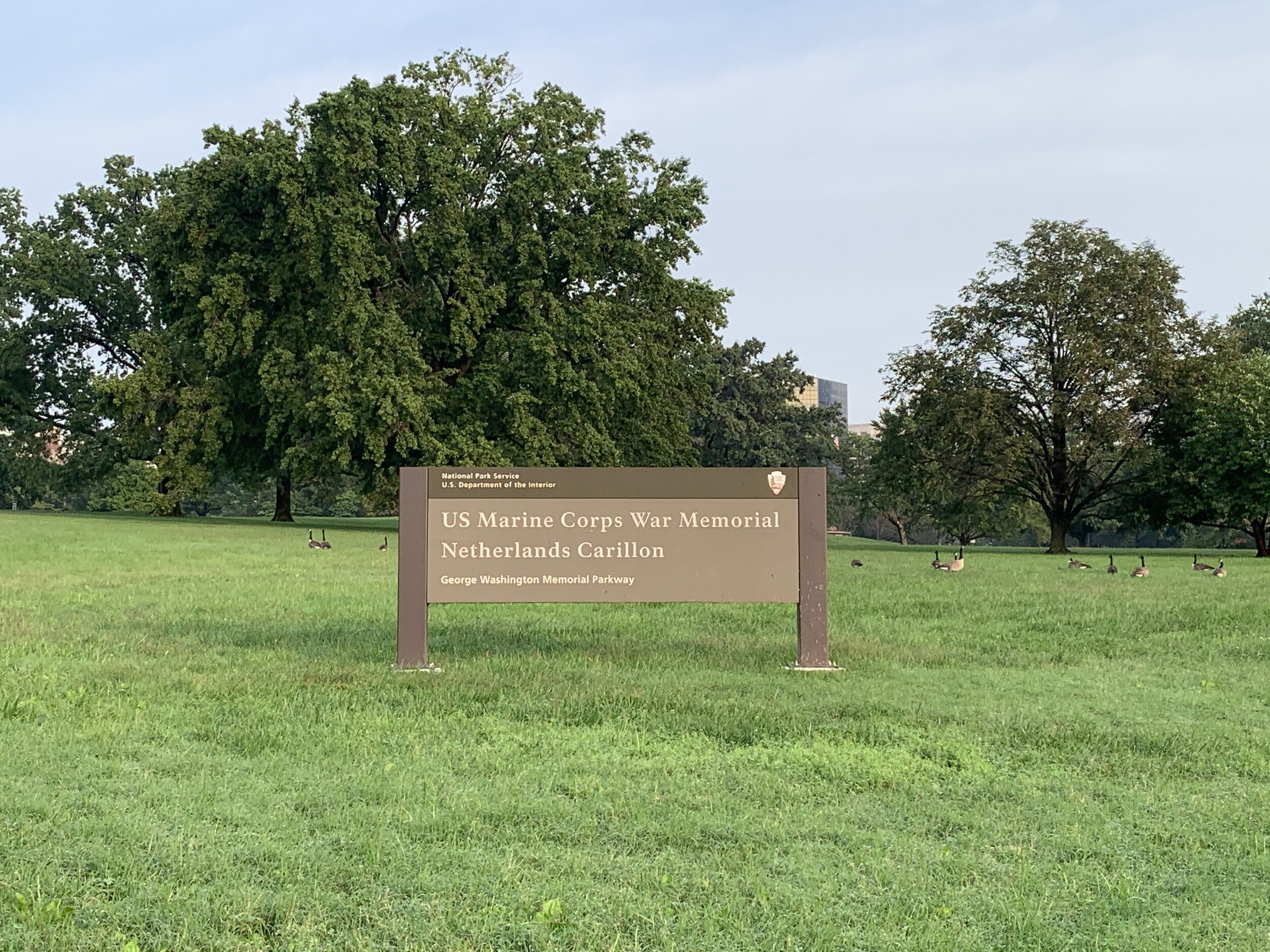
I rounded the cemetery and found myself at the bottom of the hill, which led ultimately to my goals for the morning. In front of me sat the official National Park Service signage for both landmarks, and I took a quick picture. There was absolutely no traffic, so I could take my time.

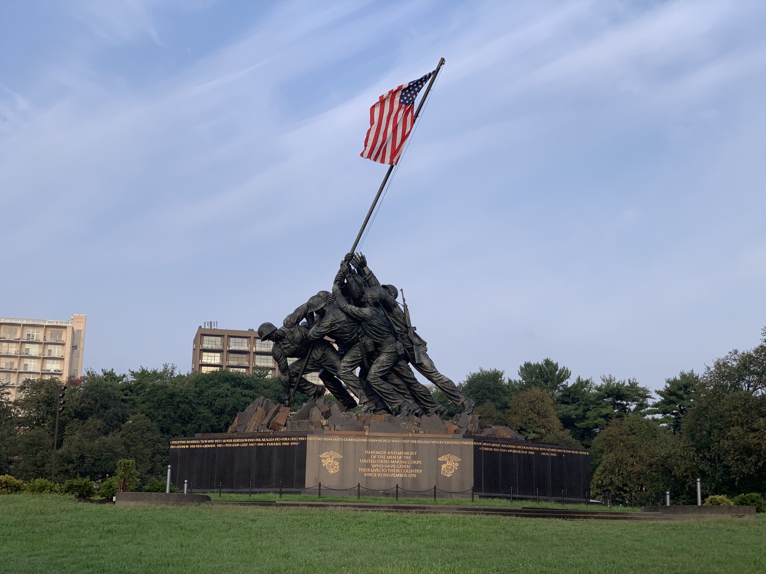
From the bottom of the hill, the USMC War Memorial is an incredible sight. The well-kept grassy hill holds the memorial like a gently sloping green pedestal. The polished black granite base stands out against the park surroundings, with it’s inscriptions along the sides. On top, is a sculpture of 6 US Marines, who were captured in a photograph by an Associated Press photographer. They were raising the flag of the United States on Mt. Suribachi on the island of Iwo Jima during battle in the second world war. Three of the six marines, who are depicted in the sculpture were killed during that battle. This image has become so iconic that many call this memorial the Iwo Jima Memorial. In fact, this memorial is dedicated to all Marines, who gave their lives defending their country, since the inception of the USMC in 1775.

The memorial was dedicated in 1954 and given to the National Park Service about a year later, which I found strange. Around the memorial are various waysides, describing the USMC and the sculpture. Unfortunately I didn’t have much time to check them out, as I was waaaaaay out in range for a work day with very limited time to accomplish any picture taking. Of note, the memorial has been recently rehabilitated, having finished only just this year. New engravings were added, the sculpture was re-braised, and all the lettering was re-gilded. Additionally, the whole monument received a wax treatment. I have to say it looks REALLY nice!

Moving on, I biked over to the Netherlands Carillon, just a short distance away, passing two people doing dance aerobics on the plaza behind the memorial on the way. I imagine they were wondering the same thing that I was wondering “what are they doing out here so early?!”

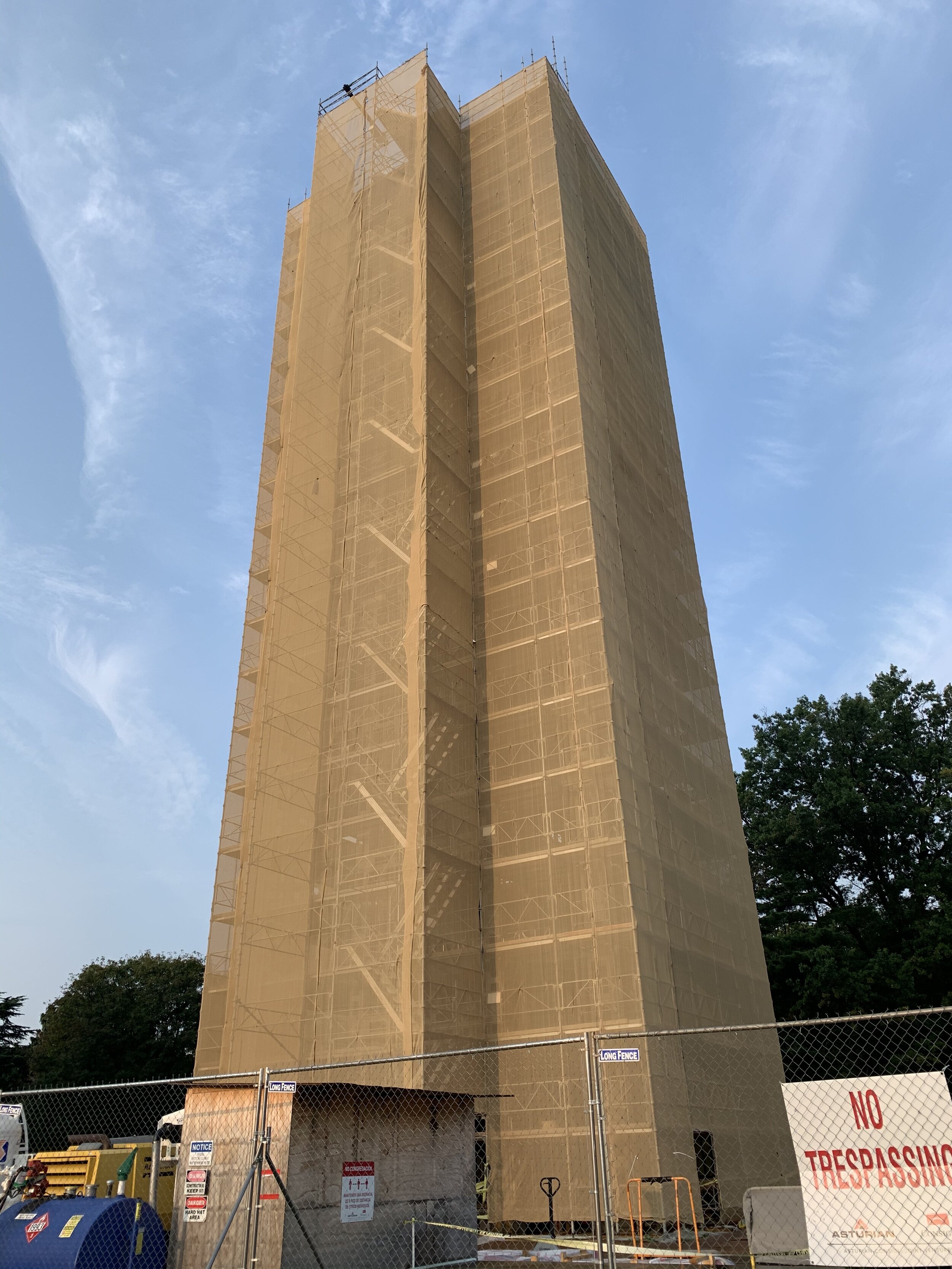
Arriving at the carillon, my heart sank. It is currently being rehabilitated, and it is completely covered in a brown cloth. Construction workers were walking around at the base, organizing their equipment and prepping for the day’s work. I was so bummed! I’ll have to come back when this project has been completed and take pictures of the restored carillon and the tulip gardens when they are finished!

What is a carillon you might ask? Isn’t that where the 1980’s cartoon Care Bears lived? Is it a GIANT musical instrument?

YES! It’s a giant musical instrument! A carillon, generally speaking is a tower of bells, all of which can be played by a central apparatus. The apparatus looks like a set of pegs, which the musician presses or strikes while wearing gloves. These pegs impart mechanical force to one or more of the bells in the tower, causing it to ring. I call it a “bell piano,” but I’m sure that real carillon musicians would probably frown upon that.

While my wife and I were in the Netherlands on our 2017 bike trip, we were graced with the opportunity to see many of these large instruments in cathedral towers all over the country. We were serenaded by a carillon from the cathedral tower in Enkhuizen, and we also toured a carillon in Amersfoort. Fun fact: Amersfoort houses one of the ONLY schools in the world where one can learn to play the carillon, and the students of this school often practice on carillons in churches and cathedrals nearby and throughout the country to ensure they are tuned and kept up with. Their exams are conducted on these ancient instruments!

OK back to this piece of the Netherlands that is sitting here in Arlington, VA next to the USMC War Memorial…

The Netherlands Carillon contains 50 bronze alloy cast bells in the tower. The bells themselves weigh about 30 tons. Imagine telling someone that you play a 30 ton instrument. Now, imagine that you are playing that 30 ton instrument by hitting pegs to SHAKE the weights of the pieces of that instrument, which is mounted in a tower. Oh yeah, and also you are SITTING UNDERNEATH or ON TOP of that 30 ton instrument as you are shaking all those things! If you’re doing this in the Netherlands, up the weight of those old bells and add onto that: you’re playing this instrument high up in an old stone tower. Carillon playing is not for the feint of heart!

This gargantuan instrument was a gift to the United States from the Netherlands in recognition for the US’s contributions to the Netherlands during and after the second world war. It is an enduring symbol of friendship between the Dutch and the Americans. The first piece of that instrument was brought by the Dutch Queen Juliana, who presented a tiny bell to President Truman on her visit to the US. The rest of the bells arrived sometime later and they were installed into a temporary carillon until the current one was built. Each of the bells in the carillon is cast with an emblem that describes a part of Dutch society and there are quotes from a famous Dutch poet on them as well. The whole tower is 127 feet tall. You can’t miss it. When the carillon is NOT being restored, there are gorgeous gardens surrounding it, which contain many different flowers, including tulips (of course).

The carillon used to give concerts on a set schedule. I remember that my wife and I wanted to go to a few of these concerts, but I don’t think that we ever made it to one.

You can read more about the Netherlands Carillon here, and you can even hear the bells of the carillon being played!

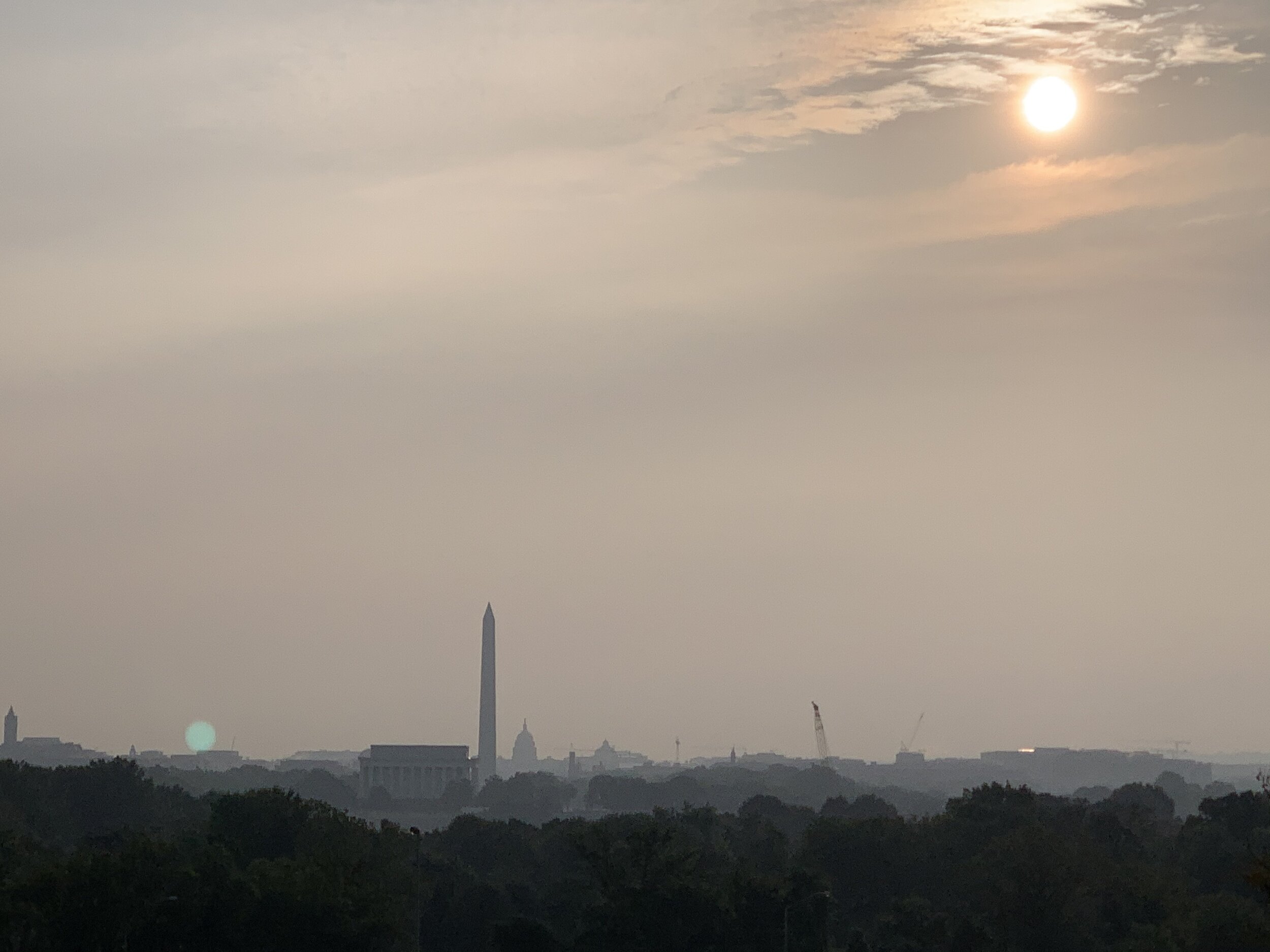
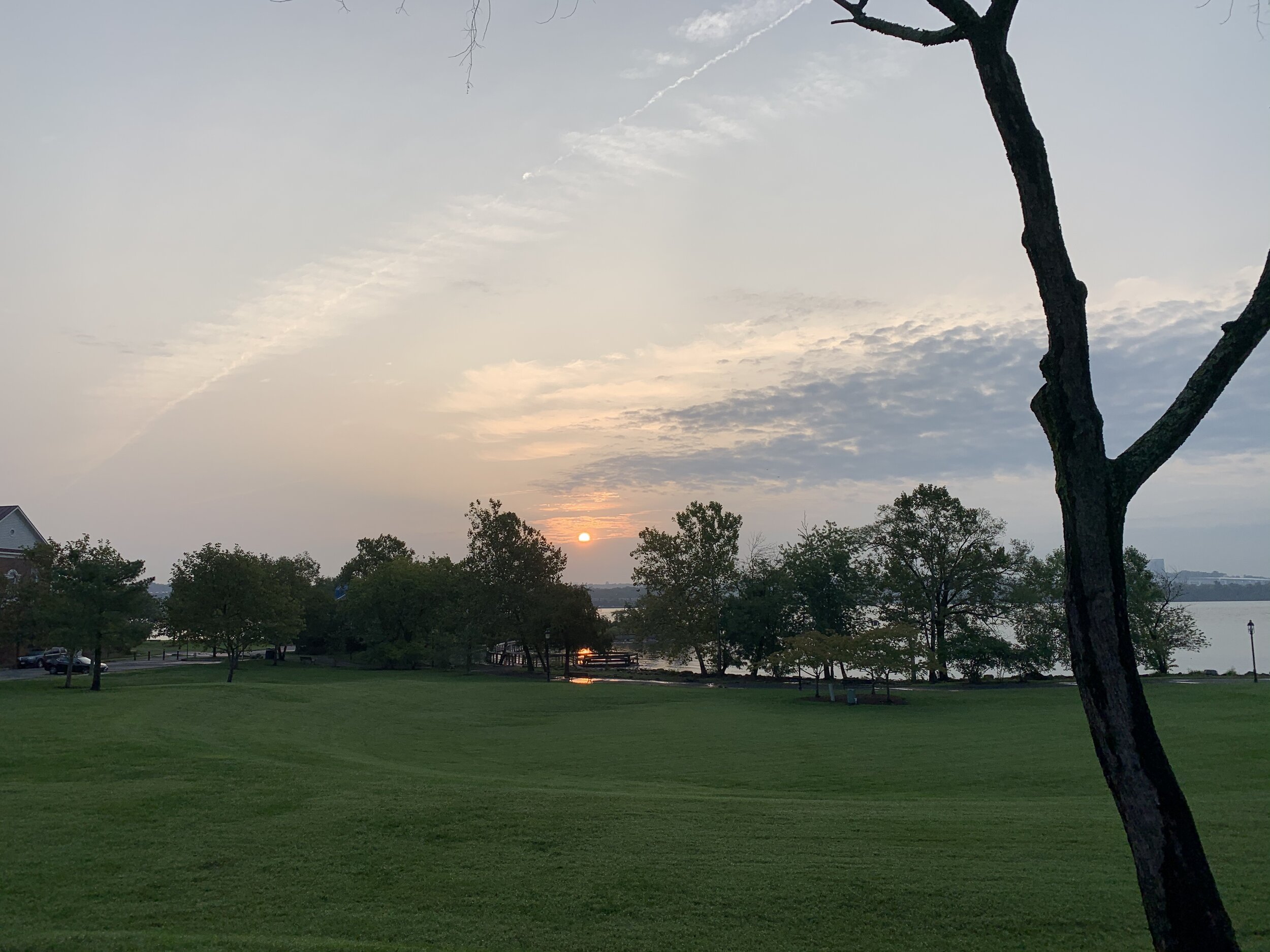
I snapped a few pictures of the recently risen sun over Washington DC from the hill that I was standing on, which overlooks the Potomac River and the National Mall. Then, I looked at my watch and my eyes bugged out of my head a bit. It was time to go…and go fast.

I wound my way all the way back down the trail and back home in time for work. My thighs ached!

I hope YOUR thighs don’t ache from this ride! If they do, I hope that they feel better soon, because I know how much that sucks! Thanks or coming along as always!

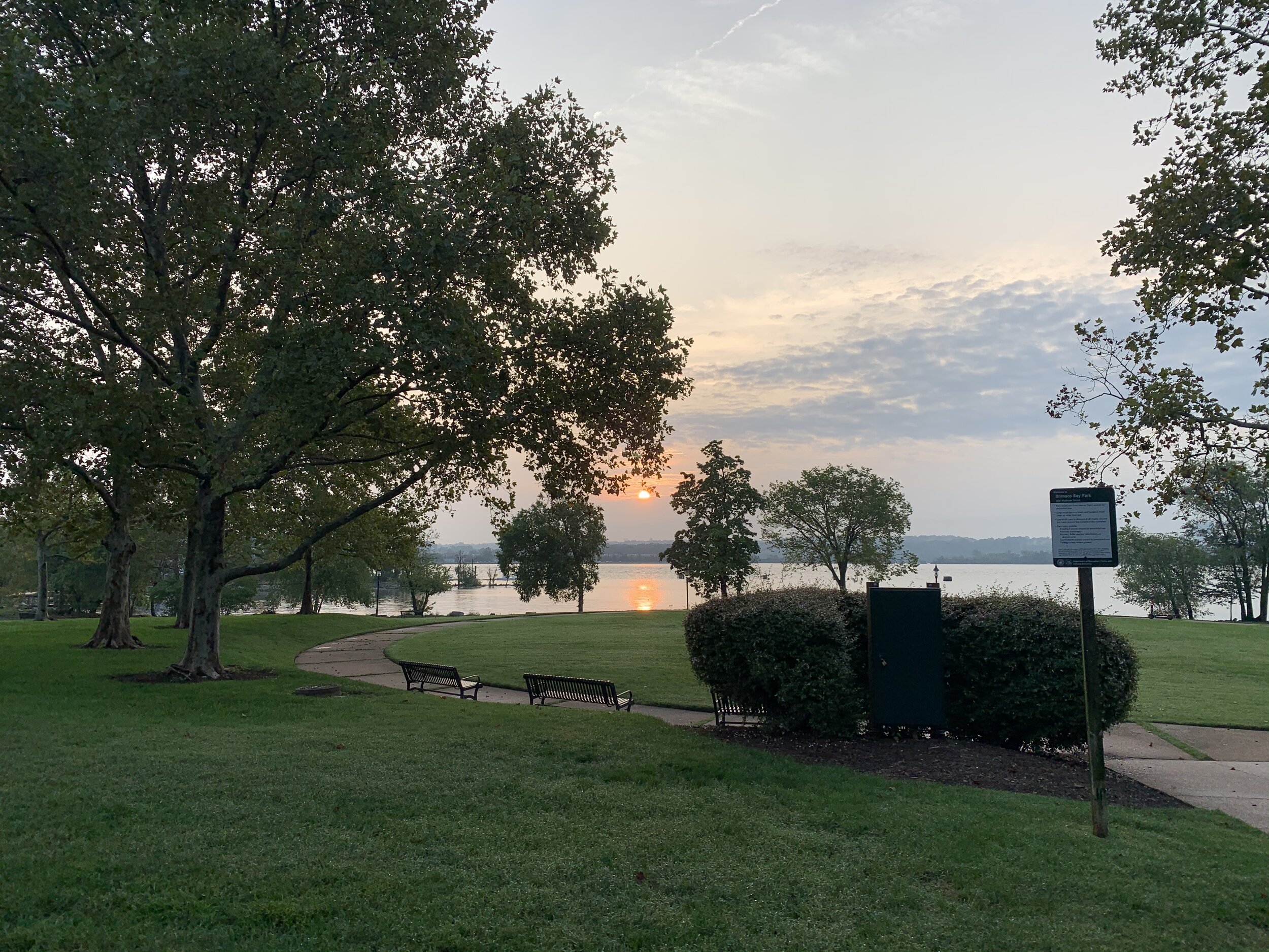
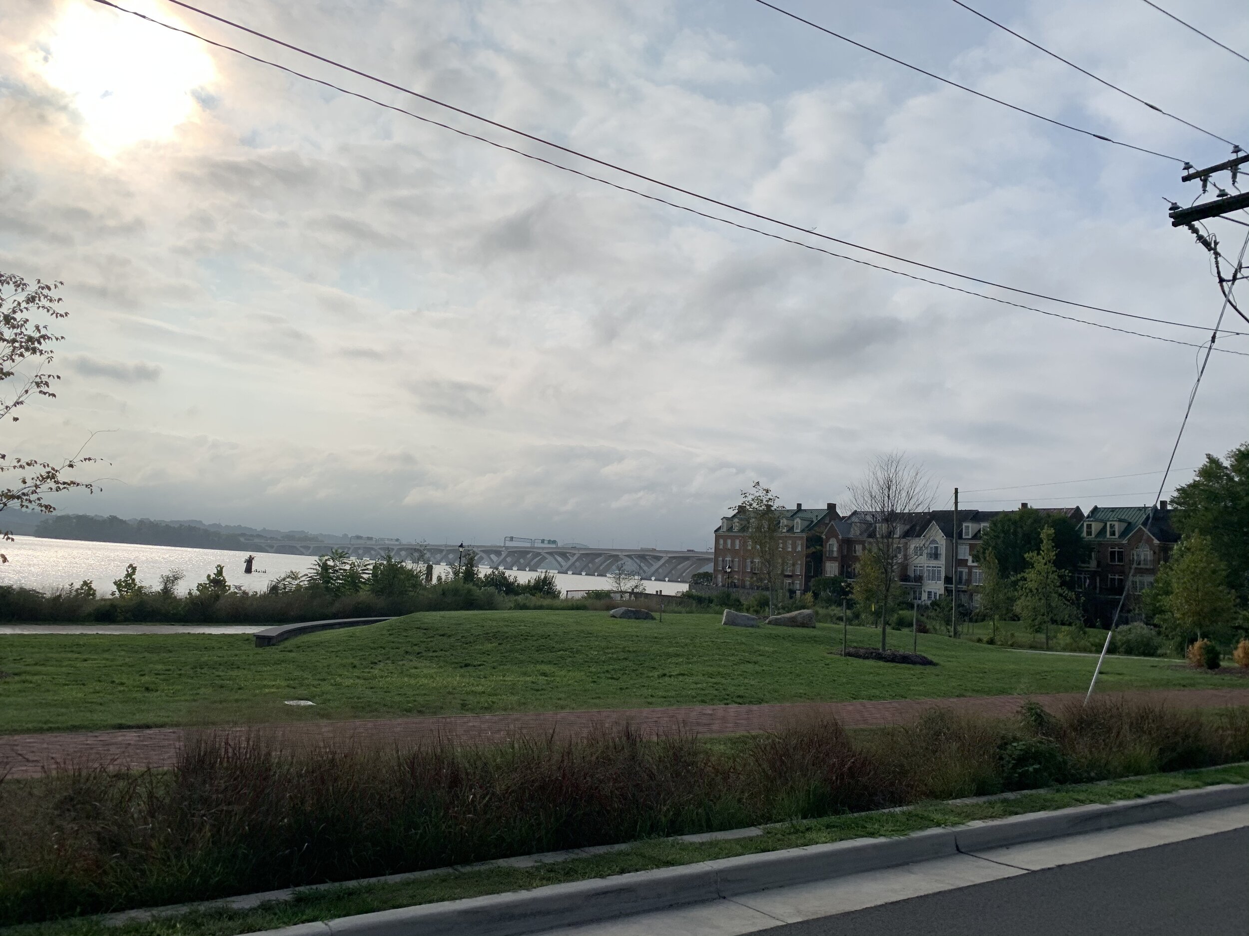
PS: I’ve also included some sunrise pictures that I captured over Orinoco Bay Park in Alexandria below.

THESE BLOG ENTRIES ARE PART OF MY PARTICIPATION IN MILES FOR HOPE, A MONTH-LONG EVENT TO RAISE AWARENESS AND FUNDS TO HELP MISSING AND EXPLOITED CHILDREN.

Jones Point Park and the Wilkes Tunnel

Jones Point Park and the Wilkes Tunnel

Type of Exercise: Cycling/Biking
Biking Stats:
Distance: 14.31 mi
Duration: 1 hr 16 mins

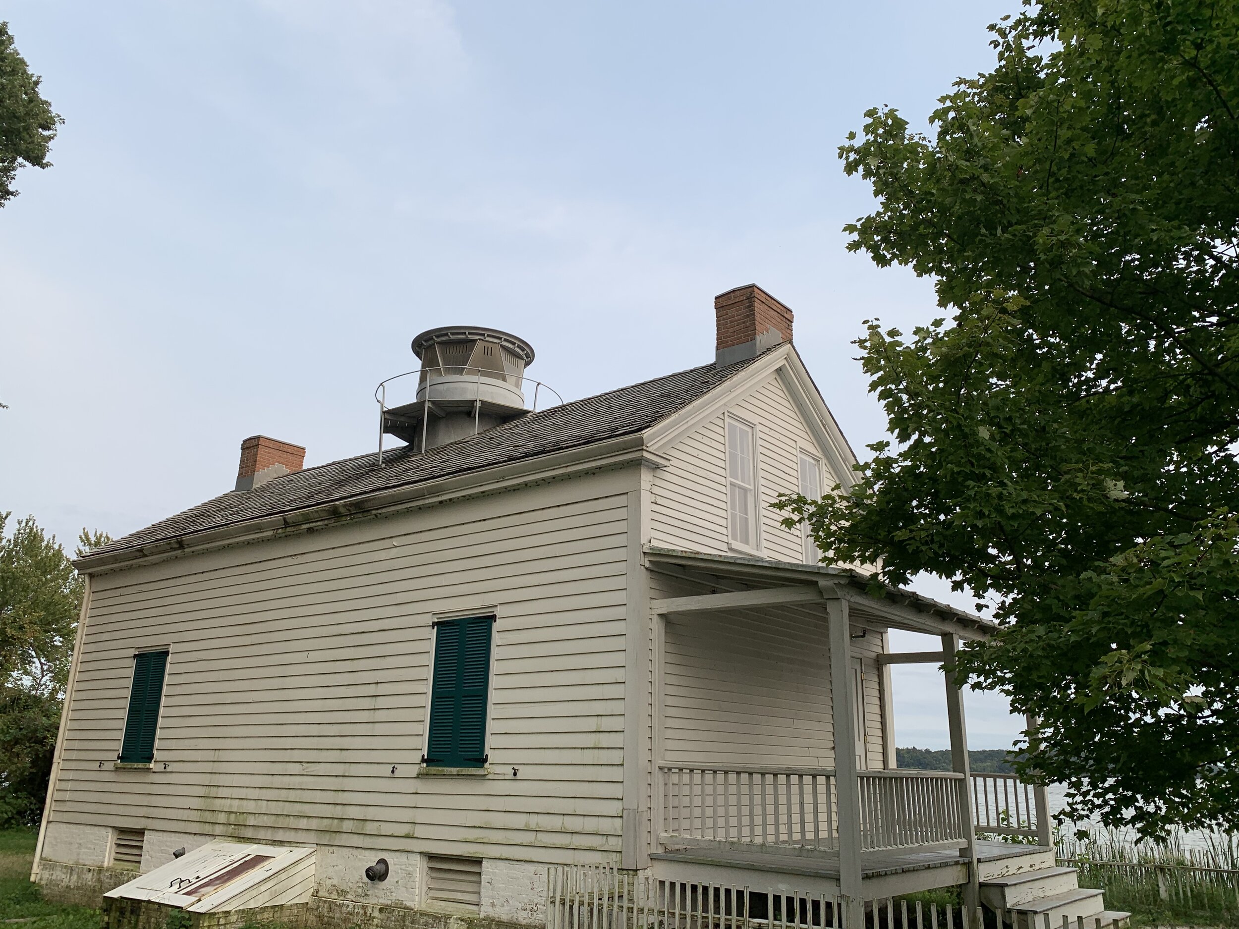
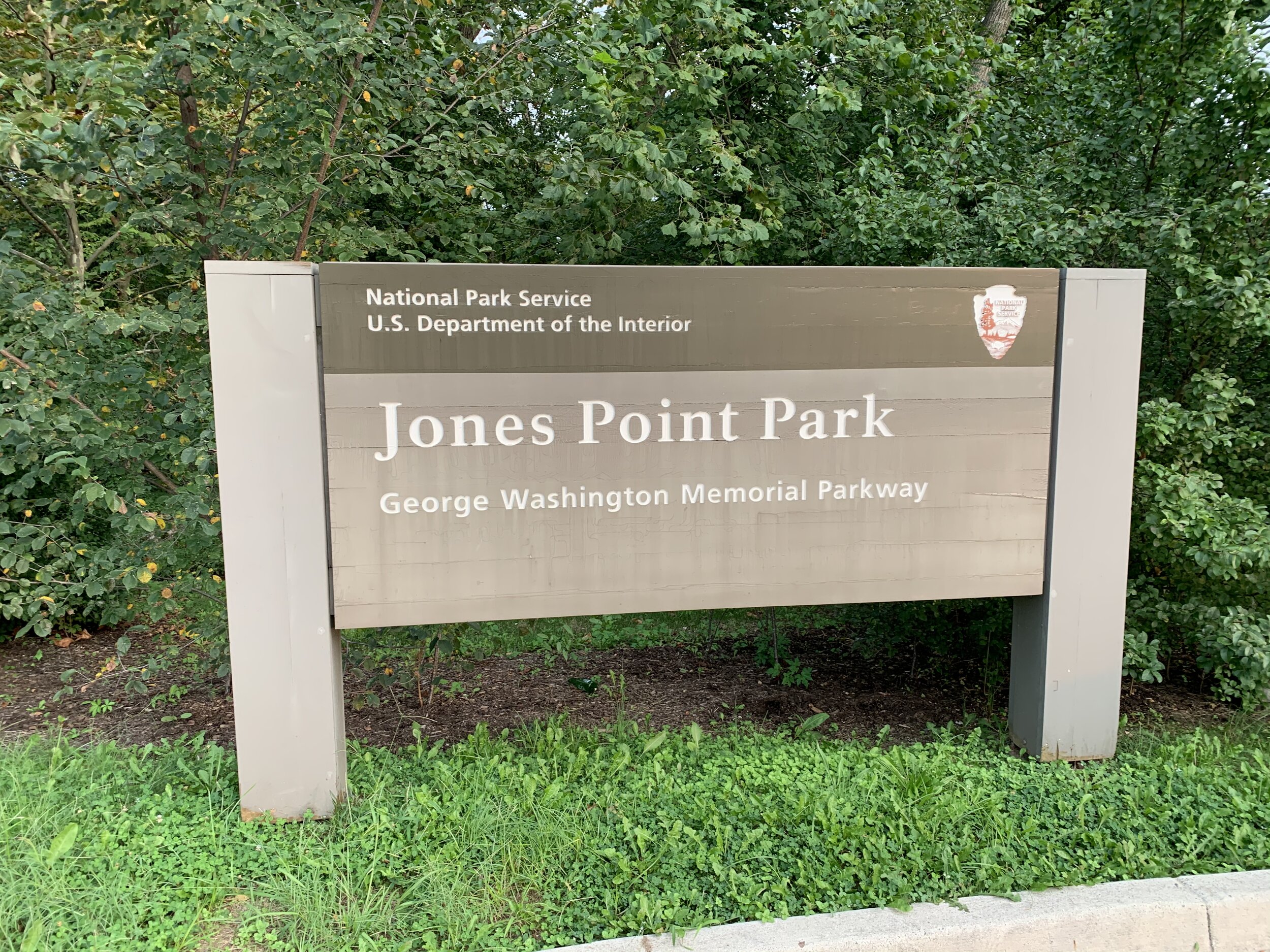
This evening I took a quick trip up the Mount Vernon Trail to Jones Point Park, which lies within the City of Alexandria. Among its many super-cool features is a lighthouse which lies next to the first federal monument erected! What is it? Is it a statue dedicated to George Washington’s powdered wig? Is it a hut where the revolutionary army cooked their first piece of hard tack?

No. It’s not any of those…

BUT (in relation to the above) what if I told you that Washington DC has shrunk SIGNIFICANTLY since it was laid out by surveyors? Have you ever wondered why Washington DC looks like a diamond with a chunk bitten out of it? Check out this map below…

DC.png

So sure, a lot of states have weird shapes (and DC isn’t a state…yet), but this may blow your mind: Washington DC used to be a complete diamond, which included parts of Arlington and Alexandria Virginia. When the congress passed the Residence Act in 1790, George Washington was allowed to designate 100 square miles for the nation’s capital city somewhere along the Potomac River and anywhere between Alexandria, VA and Williamsport, MD.

Washington chose the furthest point South he could go, so that the bustling port of Alexandria would be included in the nation’s capital. Also, I can’t help but think it was rather convenient that his own home, Mount Vernon, was only about 18 miles South along the river! C’mon George!

A team was sent to find a starting point for the boundaries of this capital city somewhere in Alexandria. Benjamin Banneker, a surveyor and astronomer, is said to have laid on his back and calculated this starting point by the passage of stars over a given point at specific times. The beginning of Washington DC as we know it today was in Alexandria, VA at what today is called Jones Point Park.

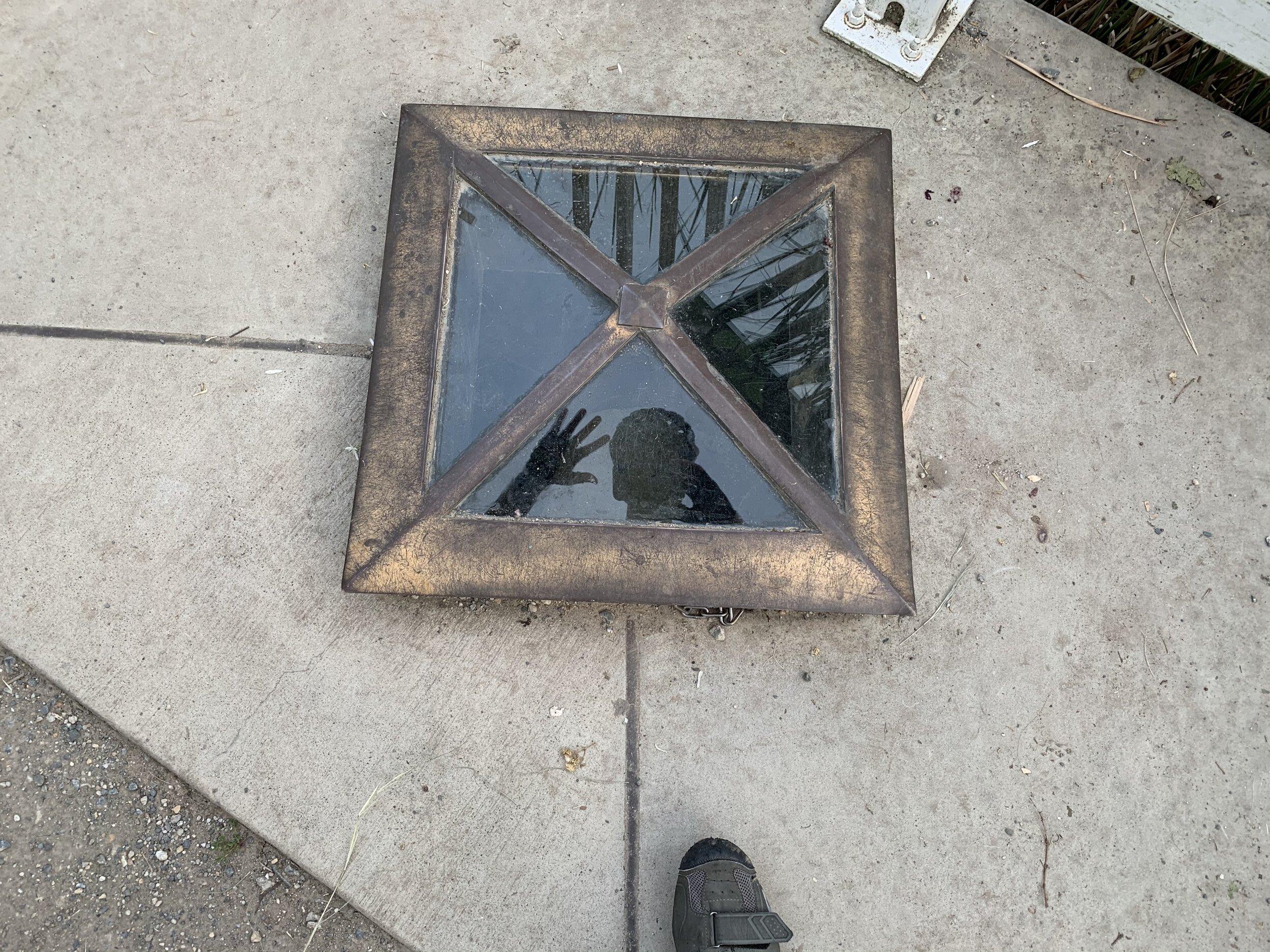
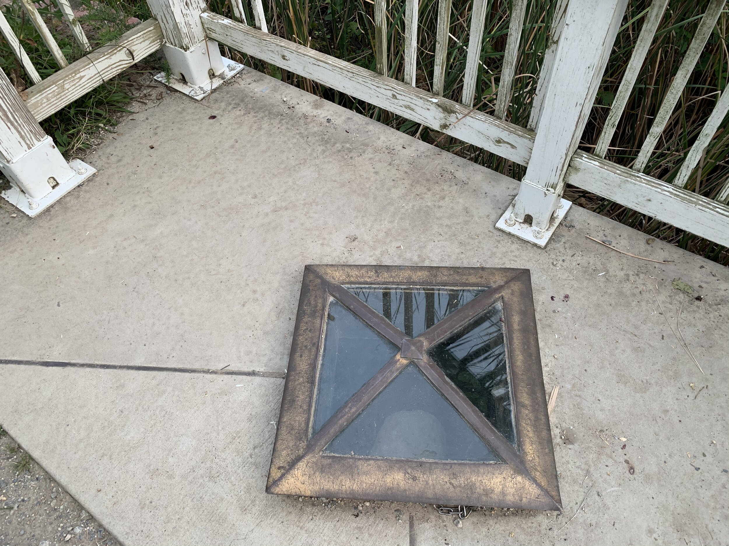
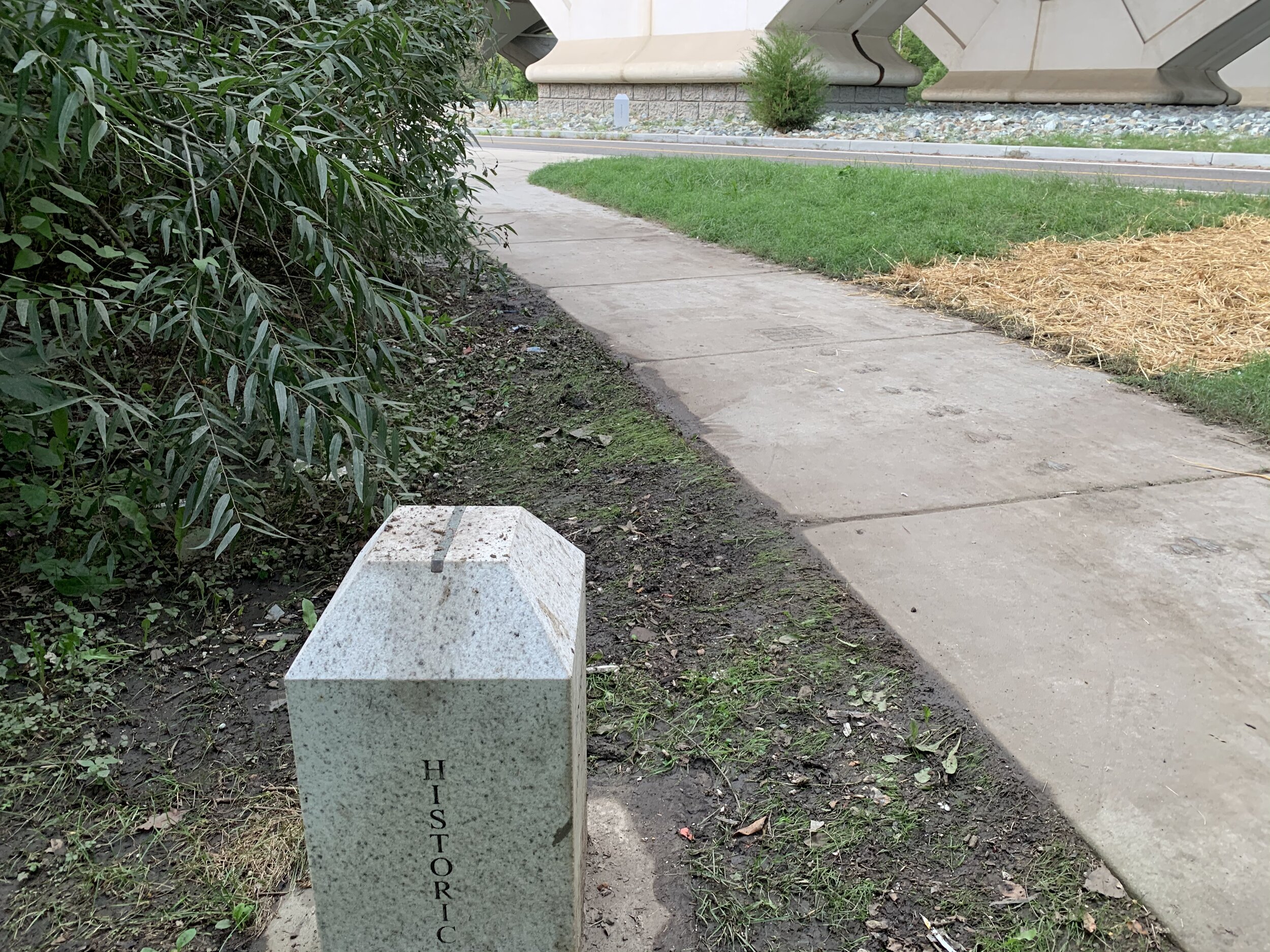
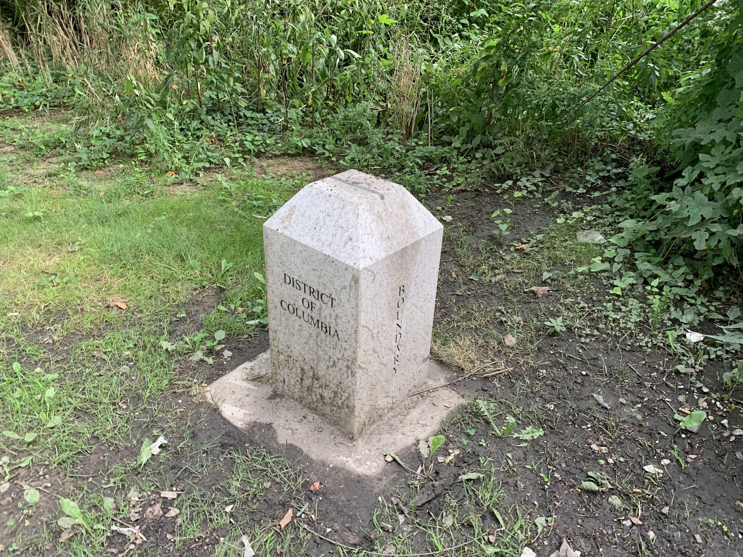
Stones made from aquia granite were laid at one mile intervals (10 on each side) to mark this boundary between Columbia, Virginia, and Maryland. These stones, the boundary stones, were the very first federal monuments erected by our country and the VERY first one of those was placed in Alexandria at the tip of Jones Point. Though many of the stones have been moved or destroyed, a replacement stone believed to have been placed in 1794 is still there at Jones Point Lighthouse, and you can view it through a small glass hatch. Unfortunately, that stone has been worn by exposure to the elements over the last 226 years, but you can still see it there in all of its stony goodness. I took pictures to prove it! You can read more about these stones, see pictures of them, and see where they are on a google map here.

I have to give credit to a good friend of mine, Ben, who blew my mind like an airport windsock when he told me this for the first time. Since then, I’ve been traveling around the area looking for them and taking pictures of them. I have an album on Facebook.

The land that Virginia once gave to the federal government was ceded back in the 1830s by petition from Alexandria to the state of Virginia to enact a retro-cession (or 19th century “take backsies”), because Alexandria was experiencing an economic decline and further feared an abolitionist congress. The City of Alexandria made a significant amount of money from the buying and selling of African slaves. The city, fearing that the abolitionist congress would endanger that trade, opted to go with a much more accommodating arrangement with the state of Virginia.

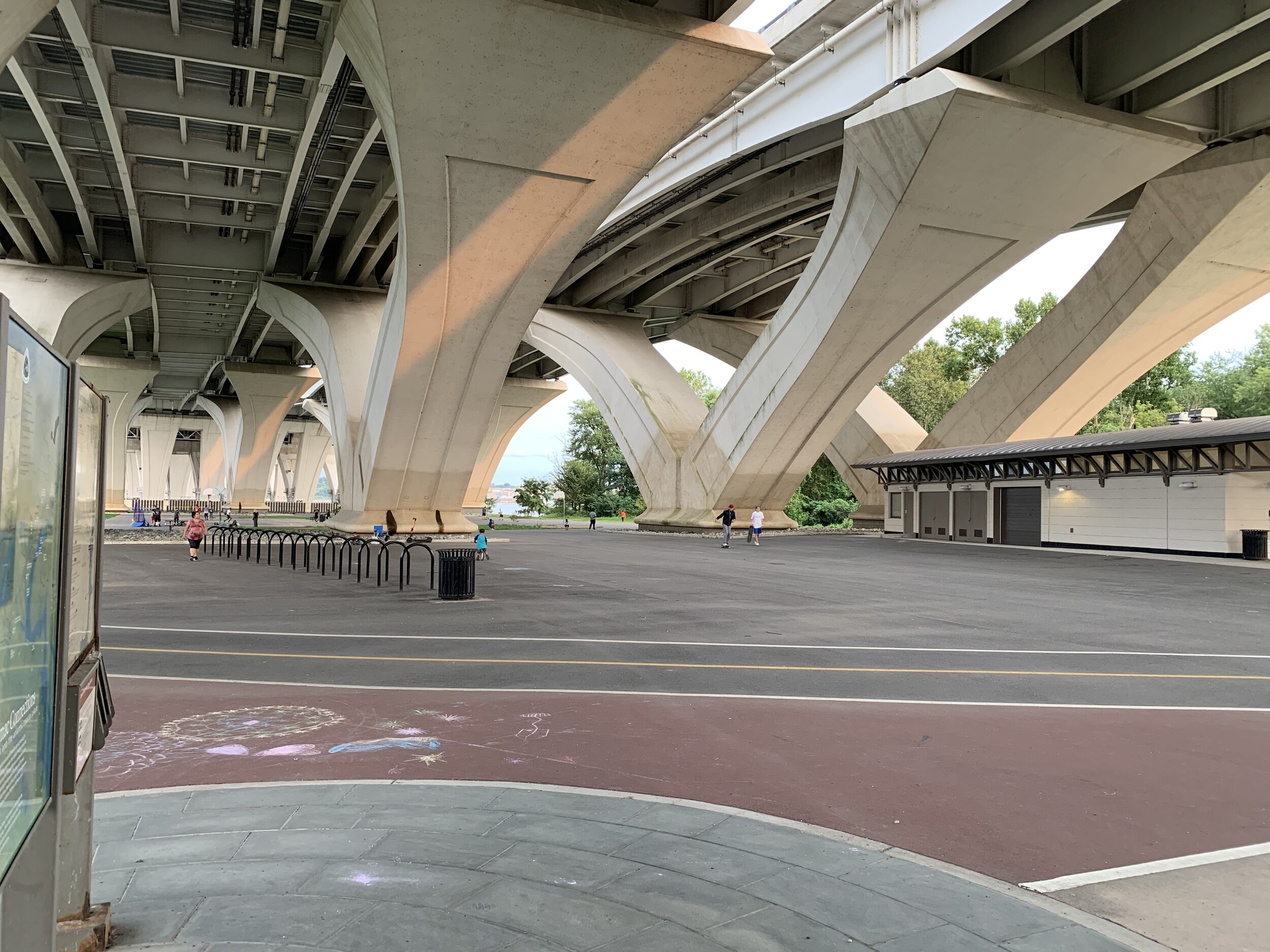
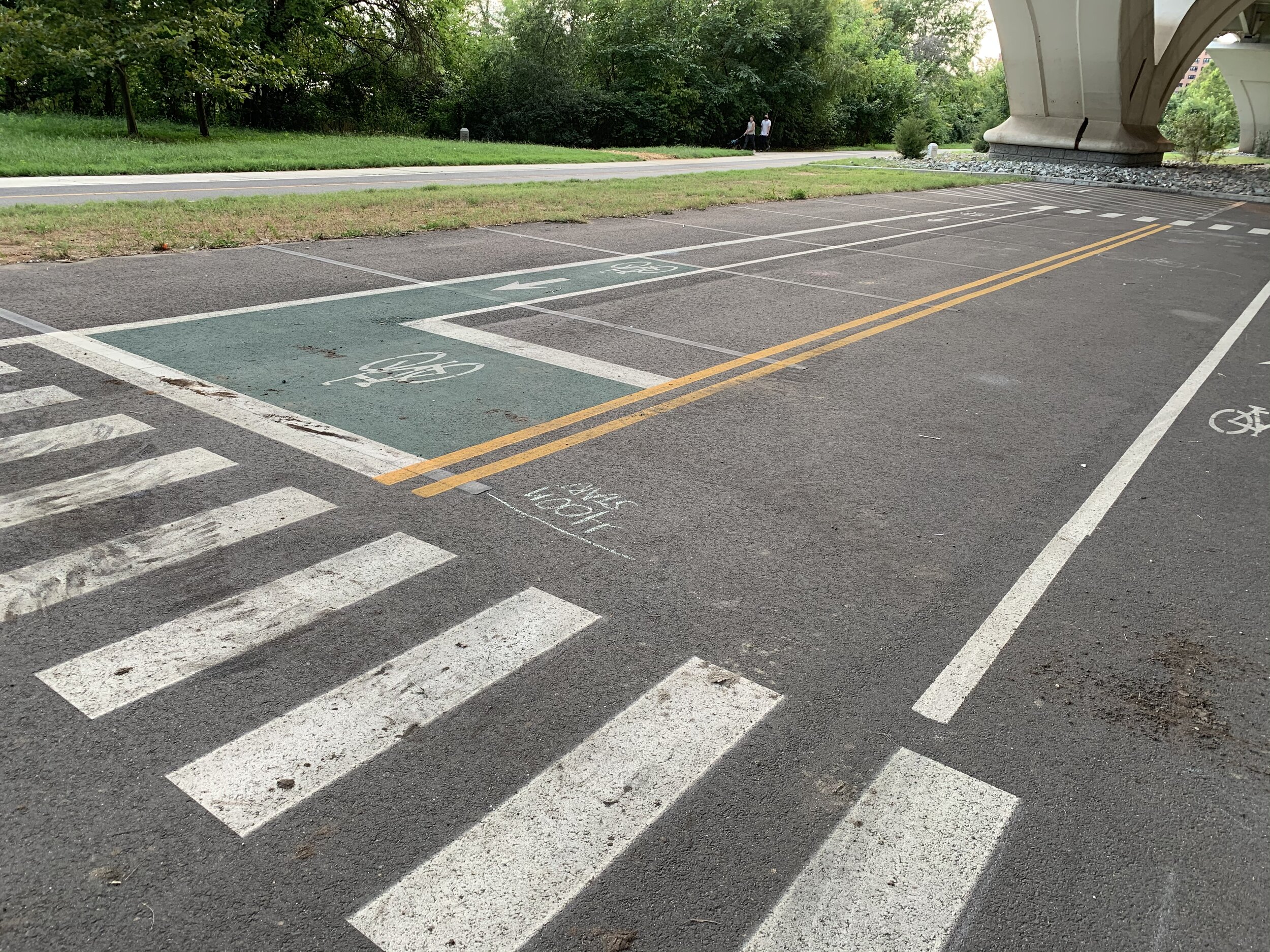
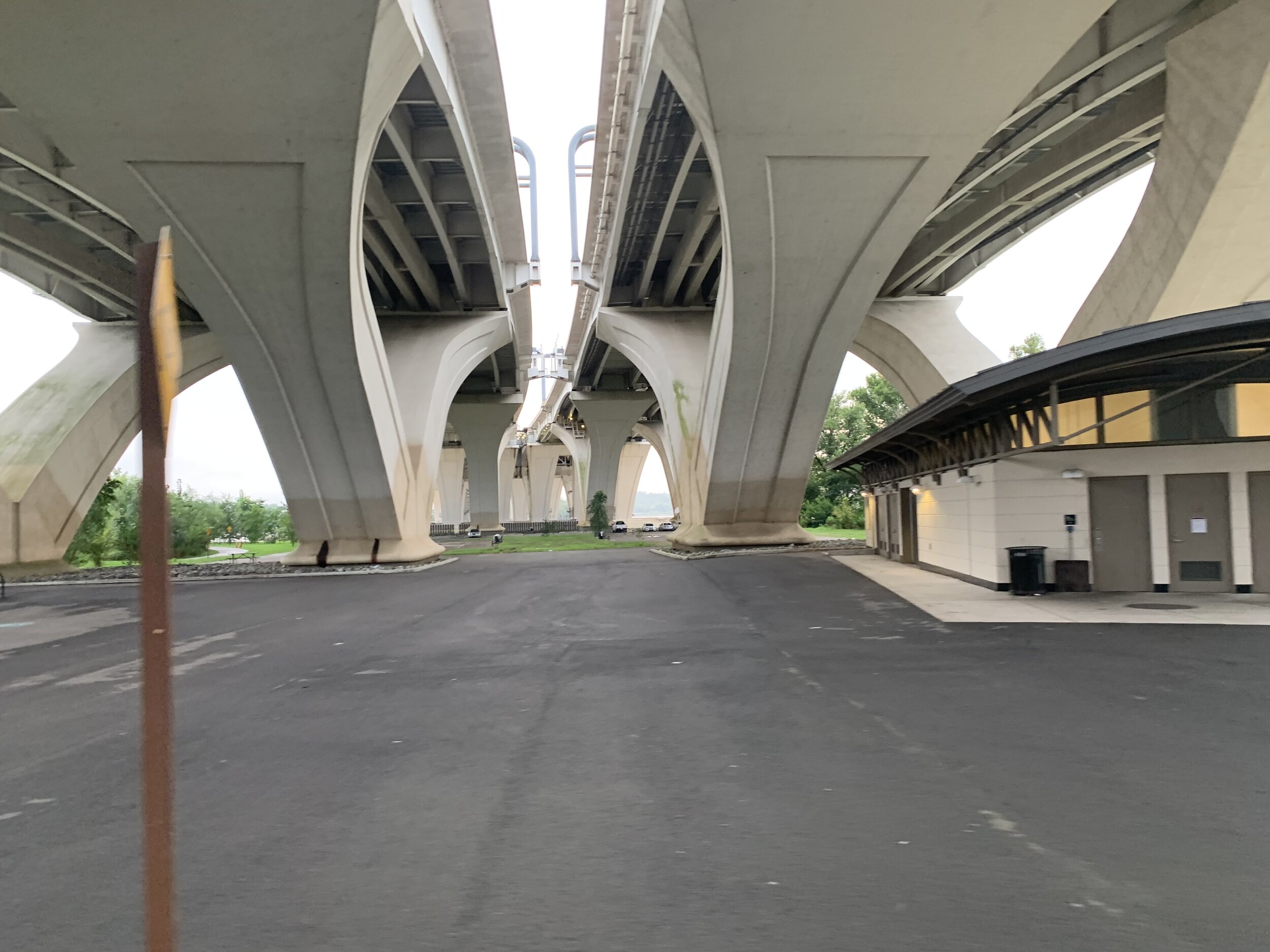
So if that wasn’t cool enough, let’s talk about the land use underneath the Wilson Bridge. Jones Point Park extends underneath the bridge and provides a TON of space for recreation. When I was there today, there were combat classes, yoga, dance aerobics, and folks playing basketball. There’s plenty of space, so none of these activities were anywhere close to being “near each other.” There’s also a full-on street replica urban cycling course painted onto the pavement for practicing urban biking! The course contains fake bike lanes, double yellow lined roads and quite a few different kinds of intersections that you might encounter! The local Washington Area Bicyclist Association (of which Jessi and I are members) uses it for training courses.

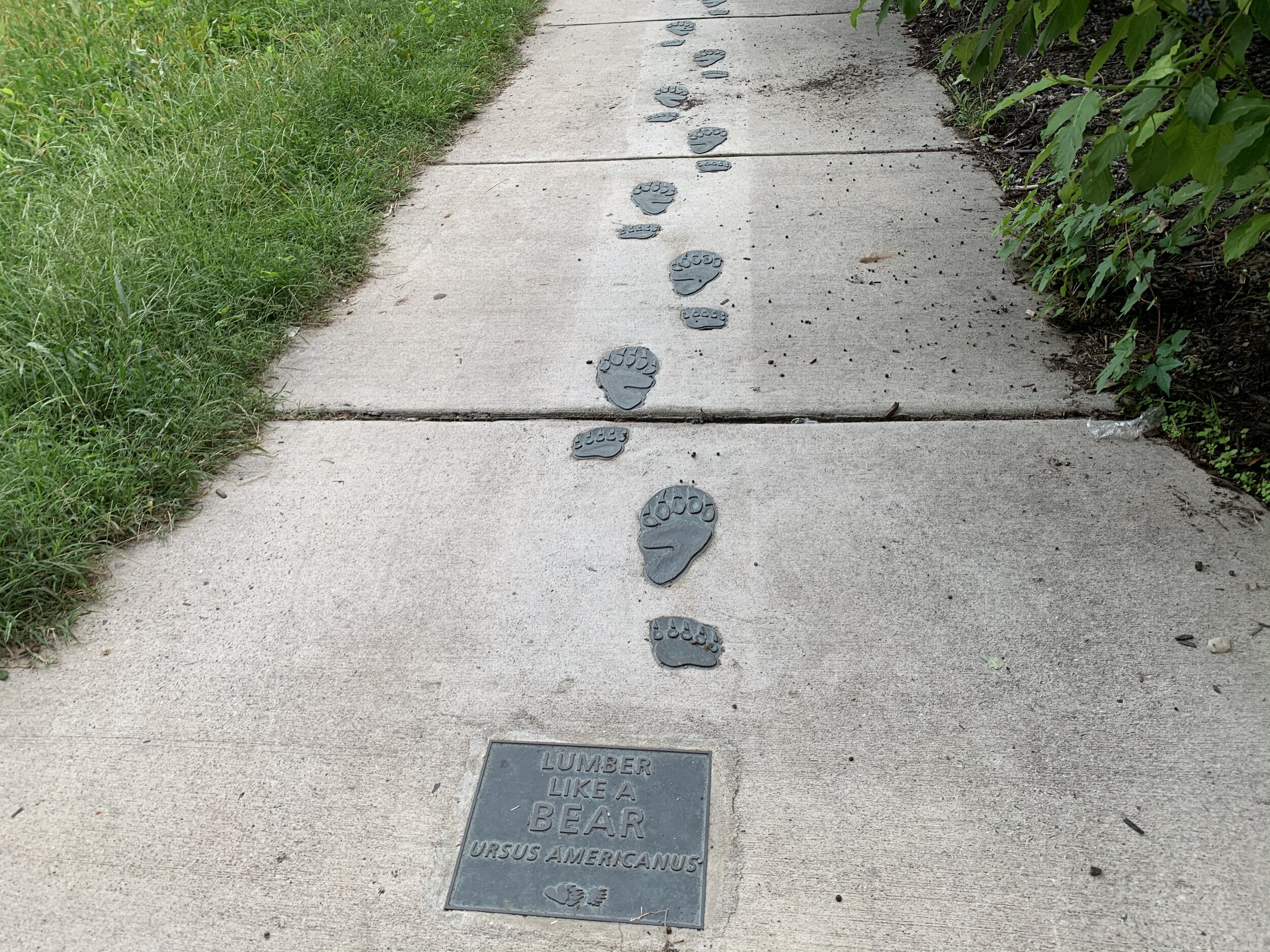
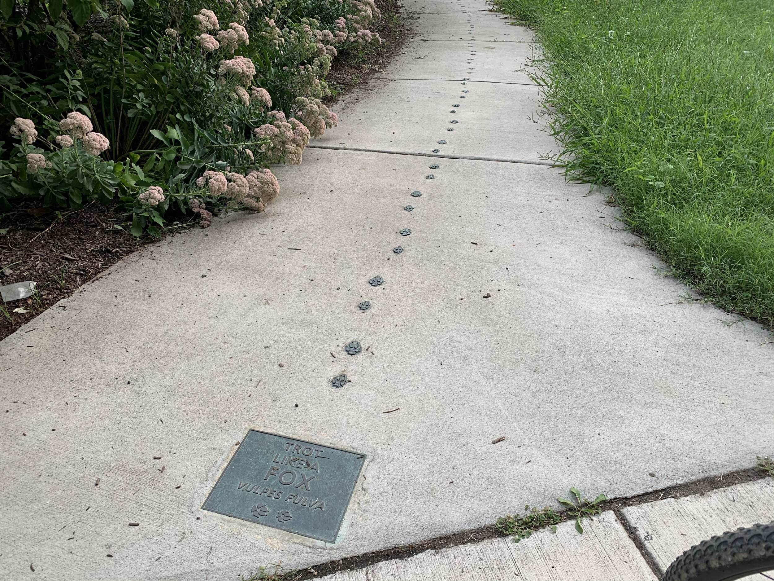
There’s also a full bathroom facility (nicest on the trail I’ve seen) and 2 really awesome playgrounds for the kiddos. Moving away from underneath the bridge, there are discovery trails containing the tracks of various animals in the pavement. Kids can “trot like a fox” or “lumber like a bear” on their way from playground to playground by placing their hands and feet on the tracks. There’s also a beautiful river vista (of course) and an old lighthouse next to a large grassy field.

Alexandria is a seaport town. The adjacent Potomac River runs down to the Chesapeake Bay, which empties into the Atlantic Ocean. In the late 19th century, Alexandria was an especially busy port and a lighthouse was erected to guide ships. The lighthouse was one of the very first “unified design” lighthouses, in which the keeper would live at the lighthouse. It was finally completed and lit in 1856. The lantern originally burned whale oil until it was replaced by a gas lantern. For a time, the light installed at Jones Point glowed red, and during this time, it became a red light zone with floating brothels and gambling. This is according to a wayside near the lighthouse.

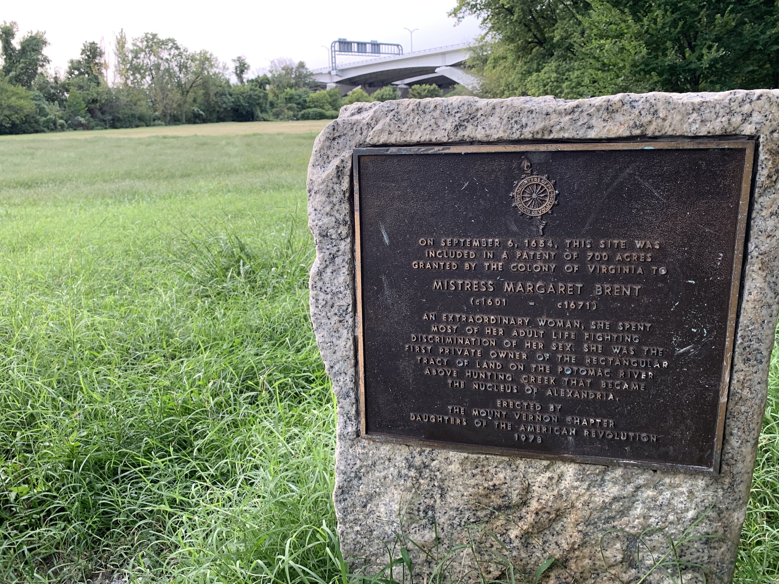
The area was originally inhabited by the natives, and evidence of their lives has been found in the form of pottery shards, arrow heads, and shadows of their dwellings in the soil. There’s a curious story of The Remarkable Margaret Brent (1601-1671), from Mary’s City, MD, who was granted a land patent at Jones Point (then known as Piper’s Island). It was her charge to cut back the forest and farm tobacco, which she did via indentured servants and slaves. All landowners at the time were basically required to grow tobacco. They needed to produce a cash crop for their benevolent lords. Brent was also an attorney to Lord Baltimore and an early suffragette, who demanded TWO votes for herself: one as a landowner, and the other as Lord Baltimore’s Attorney! HA! A monument and wayside near the lighthouse documents this story.

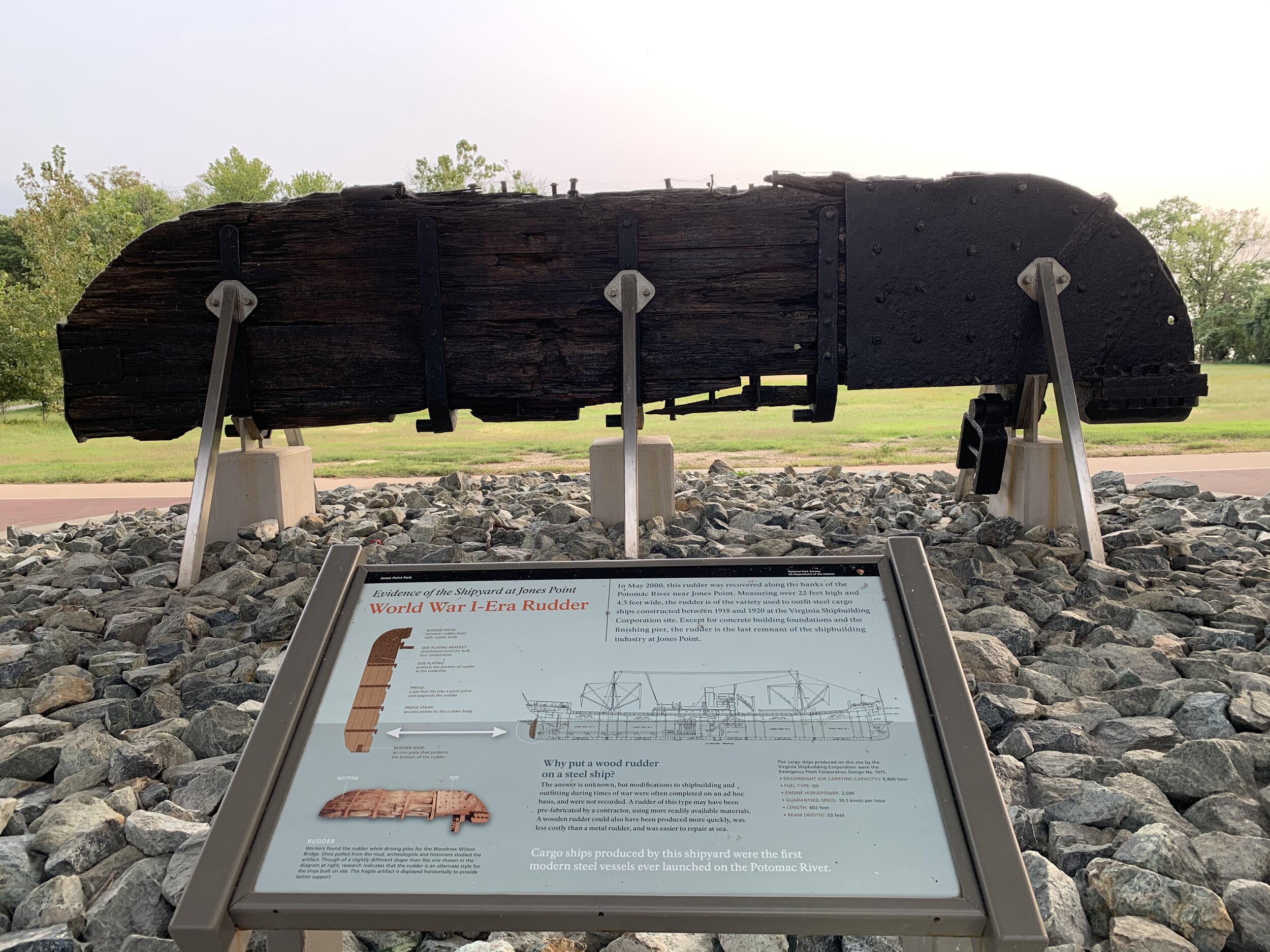
During the American Civil War, a cannon battery was built at Jones Point. Battery Rogers overlooked the river into hostile territory and protected the nations capital. During the first world war, ships were constructed at or near Jones Point. One of the large wooden rudders recovered from excavations is on display underneath the bridge. It is MASSIVE.

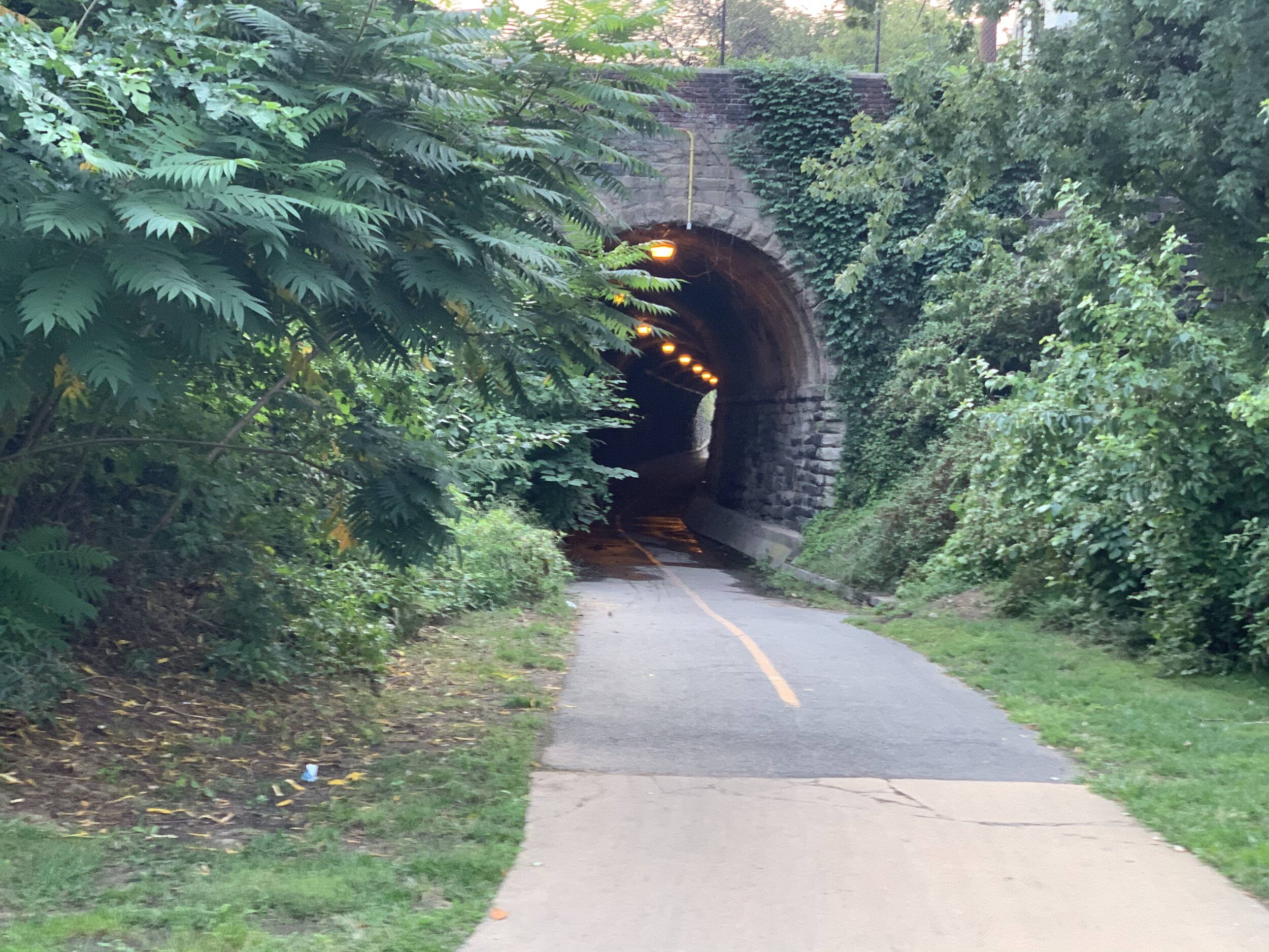
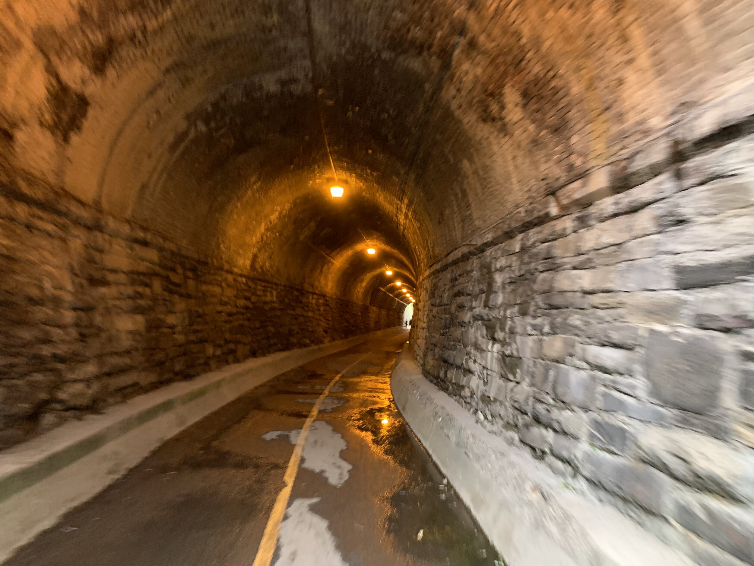
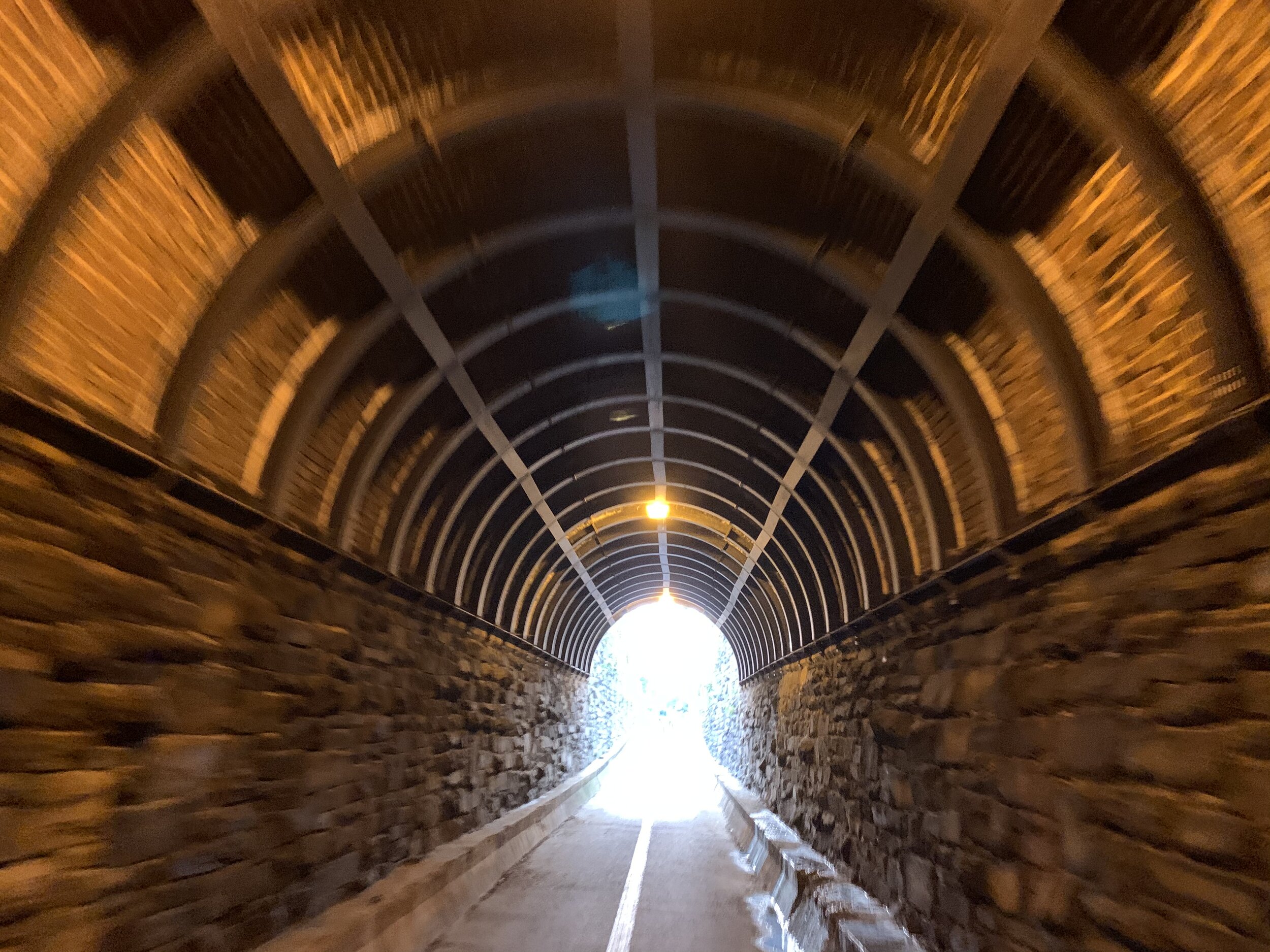
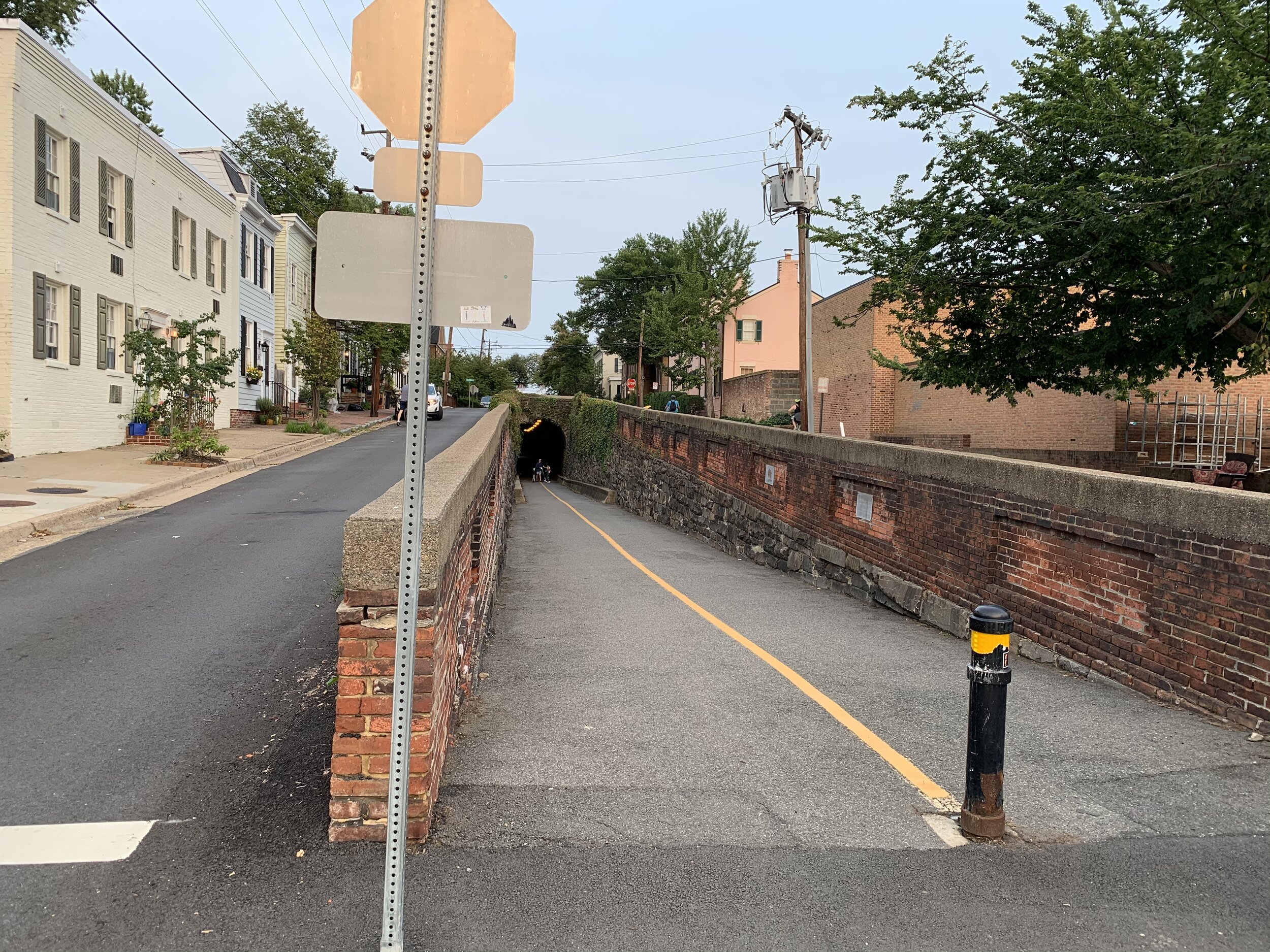
I didn’t have long before the sun would be setting, so I made may way into Old Town Alexandria a bit and biked over to another sight I wanted to highlight, the Wilkes Tunnel. This tunnel is located on Wilkes street and was once a part of the Orange and Alexandria Railroad. This railroad was built to send goods back and forth to places in Western Virginia. The Alexandria section was the Easternmost section of this railroad, which provided access to the port, allowing goods to be further shipped by river/sea. The tracks and tunnel remained in service all the way up until 1975…YES…1975! The original tunnel was too short for the large boxcars used after World War I, so they had to deepen the tunnel in order to provide more clearance. In my pictures, you can tell where the original tunnel ends and where the additional depth was achieved by the sudden end of the stone bricks. The tunnel is always damp whenever I use it, and the bend in the tunnel gives you a strangely eerie feeling, because for a short time, the “light at the end of the tunnel” is obscured by the bend. You’re completely surrounded in 150 year old tunnel construction…and the exit is not in sight. Naturally, I bike through it whenever I get the chance! Thankfully, it is lit. I have personally been through mile-long tunnels with no lights (Paw Paw for example), and the darkness has a strange almost claustrophobic affectation.

Having ridden through the tunnel, I biked my way back down along the river towards home. There was a chicken in the oven with my name on it, and there was a wife who graciously volunteered to watch it for us while I went on a 14 mile bike trip. I hope you enjoyed the trip! See you next time!

THESE BLOG ENTRIES ARE PART OF MY PARTICIPATION IN MILES FOR HOPE, A MONTH-LONG EVENT TO RAISE AWARENESS AND FUNDS TO HELP MISSING AND EXPLOITED CHILDREN.

A President's Island Memorial - Theodore Roosevelt Island

A President’s Island Memorial - Theodore Roosevelt Island

Type of Exercise: Cycling/Biking
Biking Stats:
Distance: 31.54 mi
Duration: 2 hr 41 mins

I’m so very excited to share with you my favorite presidential memorial in DC. It sits in the middle of the Potomac River between Rosslyn, VA and Georgetown, and it is absolutely perfect for enshrining its subject, Theodore Roosevelt.

Let’s start from the beginning…

This morning came extra early, because I knew this would be my longest ride to-date. I roused, made breakfast for myself and my wife, and then I ran straight out the door to get on my bike. I was in such a hurry to get going, that I left my bike lock behind. Unfortunately, I had not noticed this until 1.5 miles into the ride! So I turned around and circled back for an additional 3 miles tacked onto my trip!

I was going to need the bike lock this morning, because bikes are prohibited on Theodore Roosevelt Island. You must lock up your bike in Virginia, before traveling across a foot-bridge to the island. That foot-bridge is the only means of access to the small wooded landmass in the middle of the river. No bicycles and no motor vehicles.

The trip up was mostly uneventful. Although, on my way to the trail, I was cutoff by a fox running across the street from one house to another. Once on the trail, I had a few ducks chase me as they flew up and of the Potomac River just South of Alexandria near the Wilson Bridge.

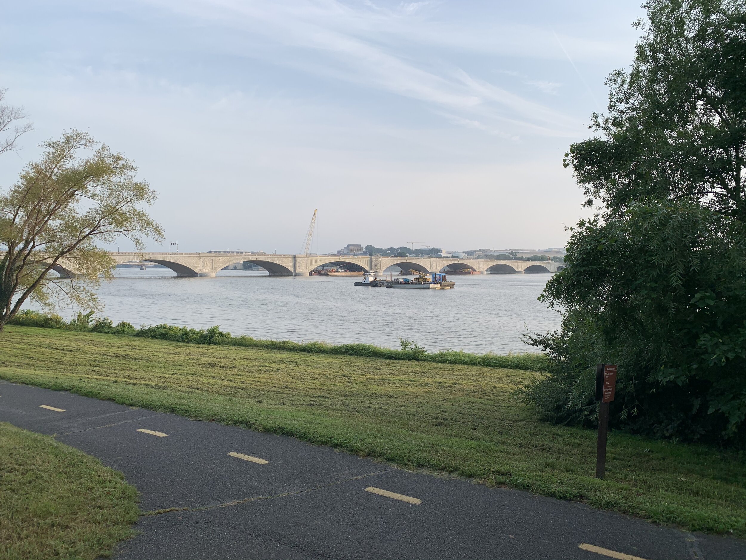
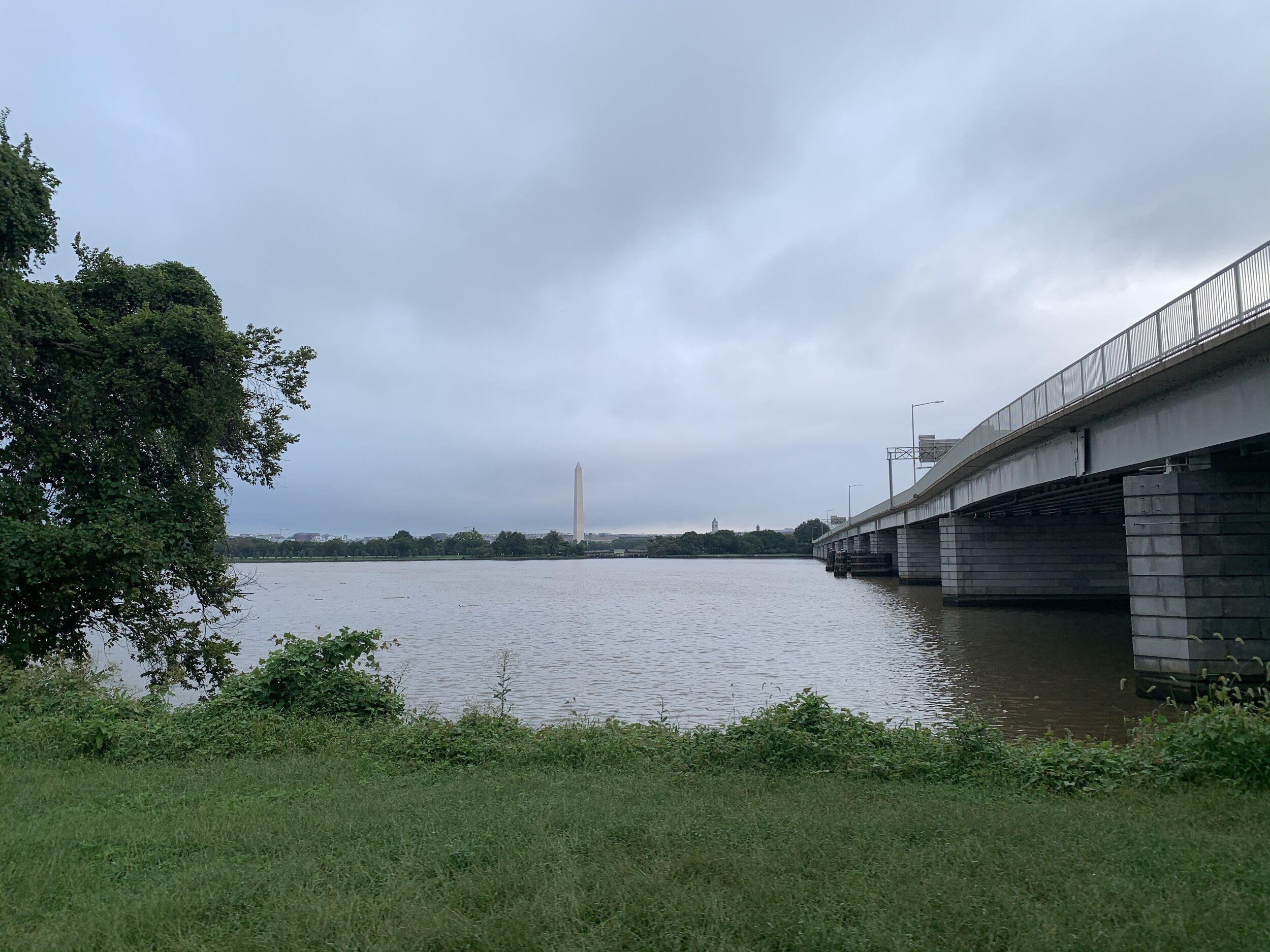
I greeted some construction workers, who were working on the Memorial Bridge, and I stopped to take some gorgeous pictures of the Lincoln Memorial, lined-up across the river with the Washington Monument.

Just a mile further, and I was at the parking lot for Theodore Roosevelt Island…

The Island has been around for quite a while! It is known that the Nacotchtank natives occupied the island for a time in the late 1600’s. The tribe also inhabited the nearby Anacostia area (along and near the river in SE DC) and this gave the island it’s first known name, “Anacostine.”

When European colonists showed up on the scene (we know how that eventually went) it passed through the usual routine ownership chain. It went from a military officer to an influential businessman and was passed through family. That influential businessman was…get ready for it…George Mason III. He was the father of George Mason IV, the man who was one of the founding fathers of the US. He is also the man, who used to own the land my house sits on, and he was practically the neighbor of George and Martha Washington.

Anyway, back then, this island was not the marshy sylvan wonderland that it is today! There were some trees on the island, but the land was not as tended to. The Masons built a mansion on the island, fitting a pattern common it seems of wealthy families when they acquire land. They planted gardens and cultivated some of the land for farming, when finally it was abandoned after the water there stagnated around the island from a causeway. During the civil war, the island was the camp for the 1st United States Colored Infantry, a unit made up of black enlisted men, many of whom were escaped slaves. On official documents, these men are listed as “contrabands.” The island had all the facilities necessary for military life including: quarters for soldiers (“contraband quarters”), a teacher, superintendent, surgeon, a community store, a hospital, a laundry, a stable, a guard house, an ice house, and a school house. There was also a building labelled as being for “lunatic patients and attendant.”

After the war, a university chemist used the island to secretly test explosives (as secret as you can be, I suppose) for rapid entrenchment and mining. This happened around the time of the war against Spain, and so there was suspicion of Spanish spying when the island was found to have explosives and detonators buried there.

The land was sold then through various hands, eventually winding up in the ownership of the Washington Gas Light (WGL) Company. This company still exists today and is the parent company to Washington Gas, which provides all of DC and much of VA and MD. They let the land sit and become completely overgrown until it got bought up by the Theodore Roosevelt Memorial Association in 1931. The association lobbied congress to fund a memorial to Roosevelt on the island, and then held the land for 30 years while waiting for congress to appropriate the funds! The memorial was finally completed and dedicated in 1967! The actual memorial is a large stone plaza in the middle of the island, which contains a large circular reflecting pool split in half by large stone bridges, a statue, and two large fountains. You can tell from the pictures below that the fountains bear the seal of the president of the United States. A 17 foot tall statue of Theodore Roosevelt stands in the middle of the stone plaza, and behind Roosevelt are large monoliths with quotes from the president on the following topics: Manhood, Nature, Youth, and the State. There is a trail system that takes you around the entire island and through various habitats on the island. There are waysides describing these habitats (if they are not scratched up by now).

The island isn’t normally very busy. It HAS grown busier over the years that I’ve lived here as more and more people learn of this hidden DC gem, but this morning, there was not a soul ON the plaza. There were a few people out for a run/hike on the island, but they were around the memorial portion and mostly out of sight. I had the opportunity to take as many pictures as I liked, from whatever vantage I desired without tourists breathing down my neck. It was NICE!

I looked at my watch, and realized that I needed to beat it in order to get home and log into work. So I clack-walked my way back across the long foot-bridge in my bike shoes, unlocked Ghost (that’s my bike’s name…and brand), and got to speeding back home.

Thanks for coming along with me to my favorite spot in DC!

THESE BLOG ENTRIES ARE PART OF MY PARTICIPATION IN MILES FOR HOPE, A MONTH-LONG EVENT TO RAISE AWARENESS AND FUNDS TO HELP MISSING AND EXPLOITED CHILDREN.

Lyndon Baines Johnson Memorial Grove and US Navy Merchant Marine Memorial

Lyndon Baines Johnson Memorial Grove
and
US Navy Merchant Marine Memorial

Type of Exercise: Cycling/Biking
Biking Stats:
Distance: 26.62 mi
Duration: 2 hr 15 mins

Having gone up to the Tidal Basin yesterday morning, I thought I would head up that way again to scoop up a few cool things just beyond the 14th Street bridge today.

So many who come to Washington DC and Northern Virginia visit all the downtown tourist spots. Most of the famous memorials are located in the district, BUT some of the most impressive and little known gems lie just outside the tourist zone. The LBJ Memorial Grove is just such a place.

Located along the George Washington Parkway on national park land, Lyndon Johnson’s memorial grove provides a gorgeous view of the district and the National Mall. Weary of the work of the presidency, Johnson would come to this very location often in order to unwind and escape. What better place to build his presidential memorial?

The park is situated in the Potomac River on Columbia Island, and it is separated from the Virginia side by the Boundary Channel. The Boundary Channel is the original Virginia shoreline, and it was named by an anonymous Army Corps of Engineers officer around the time of it’s creation. It was created when the river was dredged to deepen the channel and widen the river along the DC/Virginia shores in order to alleviate flooding and build up through the washing of silt and other materials down-river.. The island itself was named for the DC (Columbia) by another anonymous engineer, who worked in the district.

The most striking and prominent feature of this park is a large stone monolith, made from Texas granite (of course). Johnson was from Texas, and I’ve never met anyone from Texas who isn’t overly proud of that fact, so the composition of the monolith makes sense! Around the monolith are nice benches, and a beautiful stone mosaic platform with quotes from Johnson etched into slabs.

I met a couple at the stone monolith, who told me it was their first time there. I told them everything I knew about the monument (too much) and then let them be. They must have thought I was some obsessed LBJ enthusiast!

The park also consists of a grove with winding trails and picnic benches. On the other side of the park is the Pentagon and the Pentagon Lagoon Marina and boat launch. From here you can take boats out onto the Potomac River, or paddle around in the Pentagon Lagoon. The park was bustling with folks putting watercraft into the lagoon and moving their boat trailers around.

The park is full of beautiful white pine trees. Having grown up among white pine forests, it was extremely enjoyable to basque in the unique smell of the white pine tree needles, which form a beautiful dull red carpet on the grove floor. You can always tell a white pine tree by it’s signature 5-needle clutches. You can always remember how many needles should be in a white pine clutch, because you can count the needles by spelling W-H-I-T-E. The trunks are often sappy and stained…

carnac.jpg

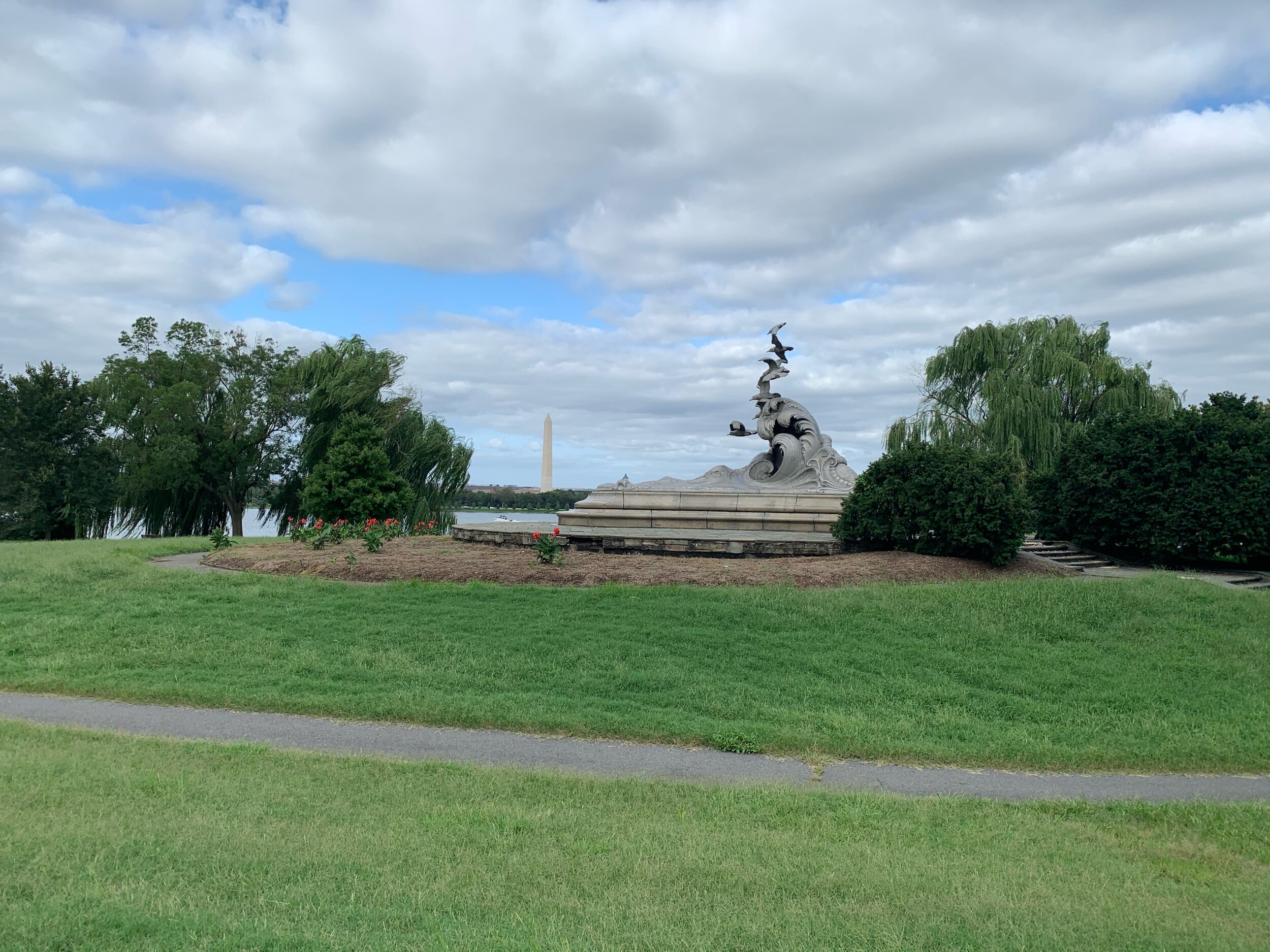
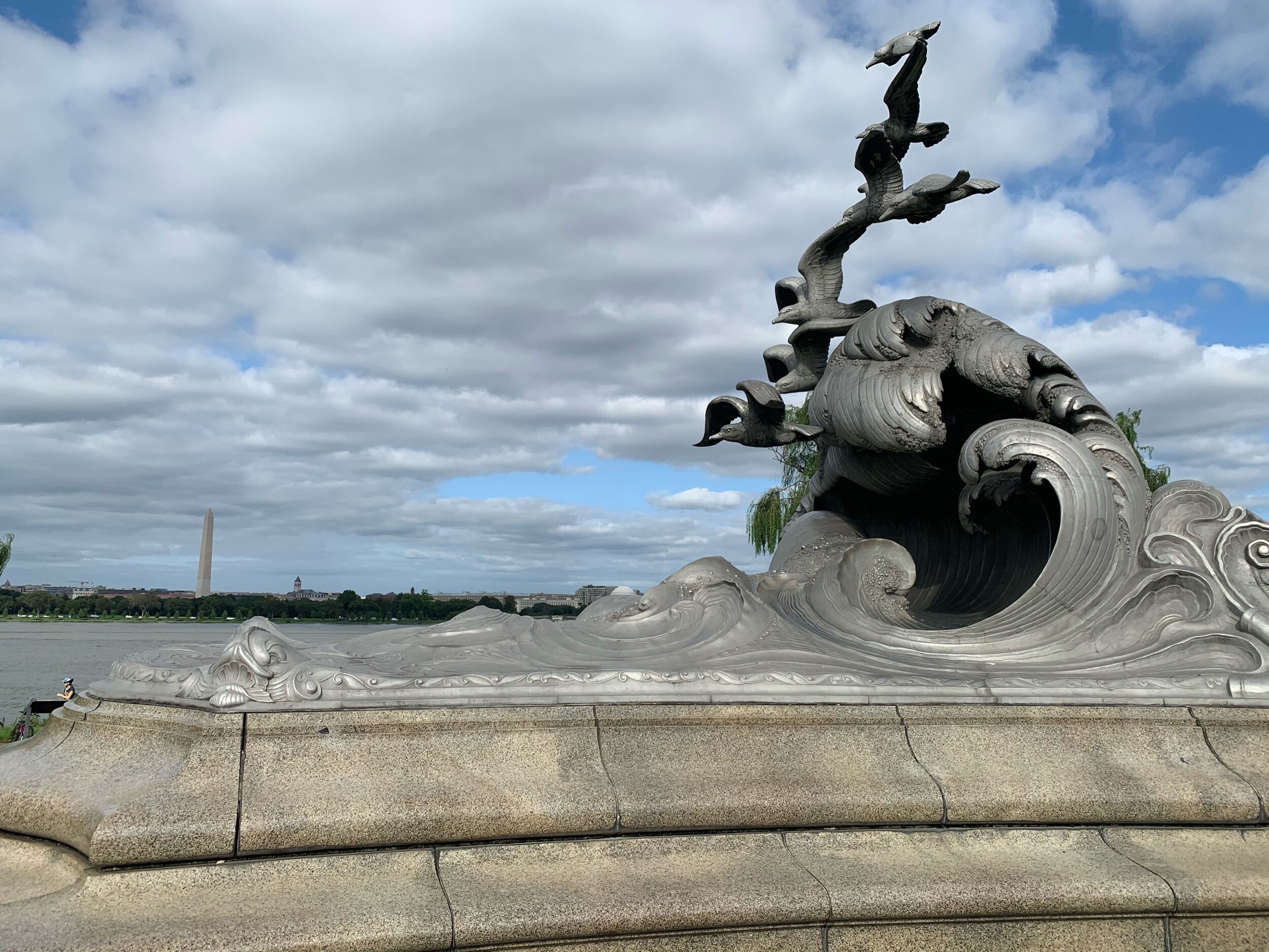
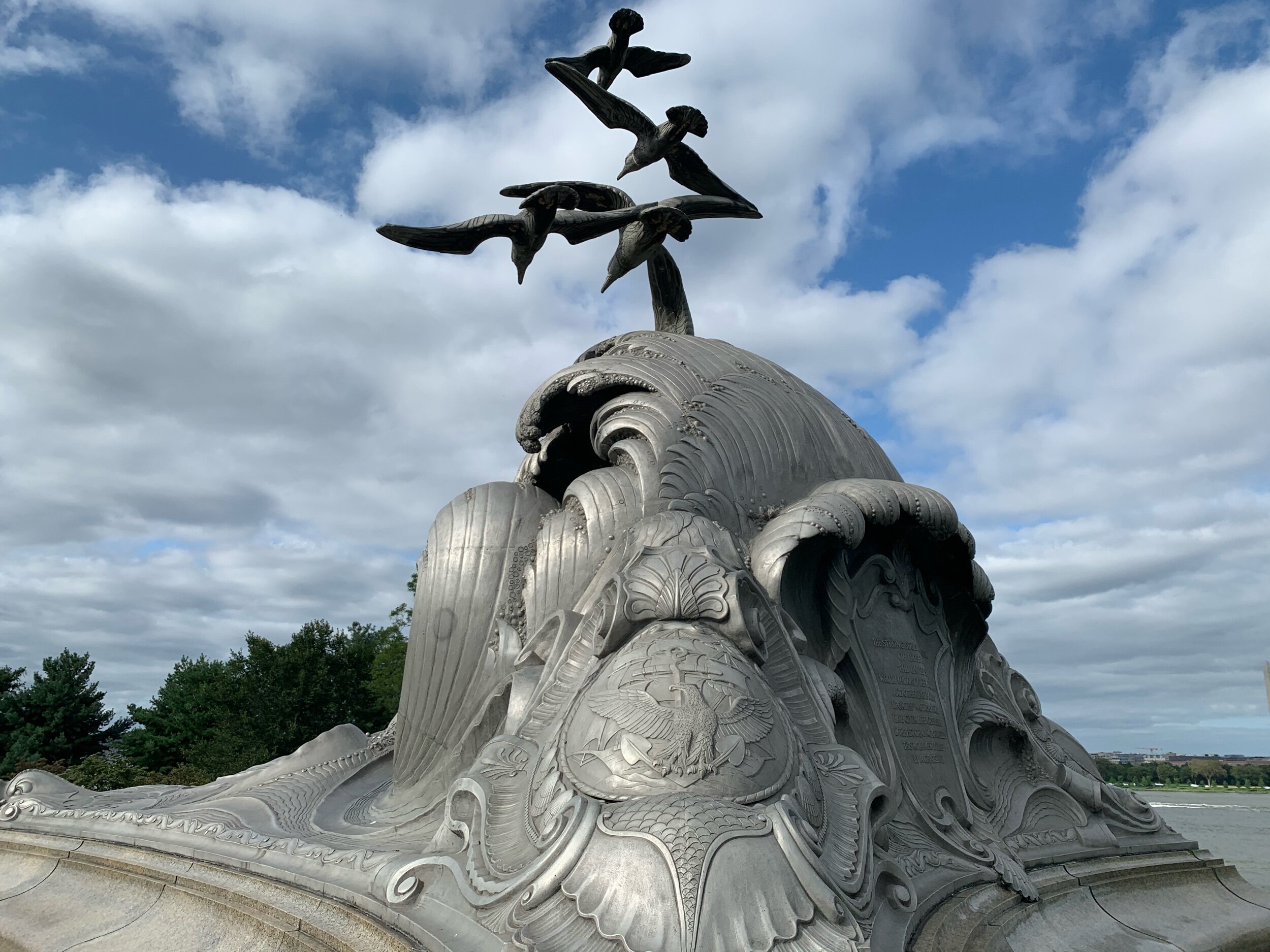
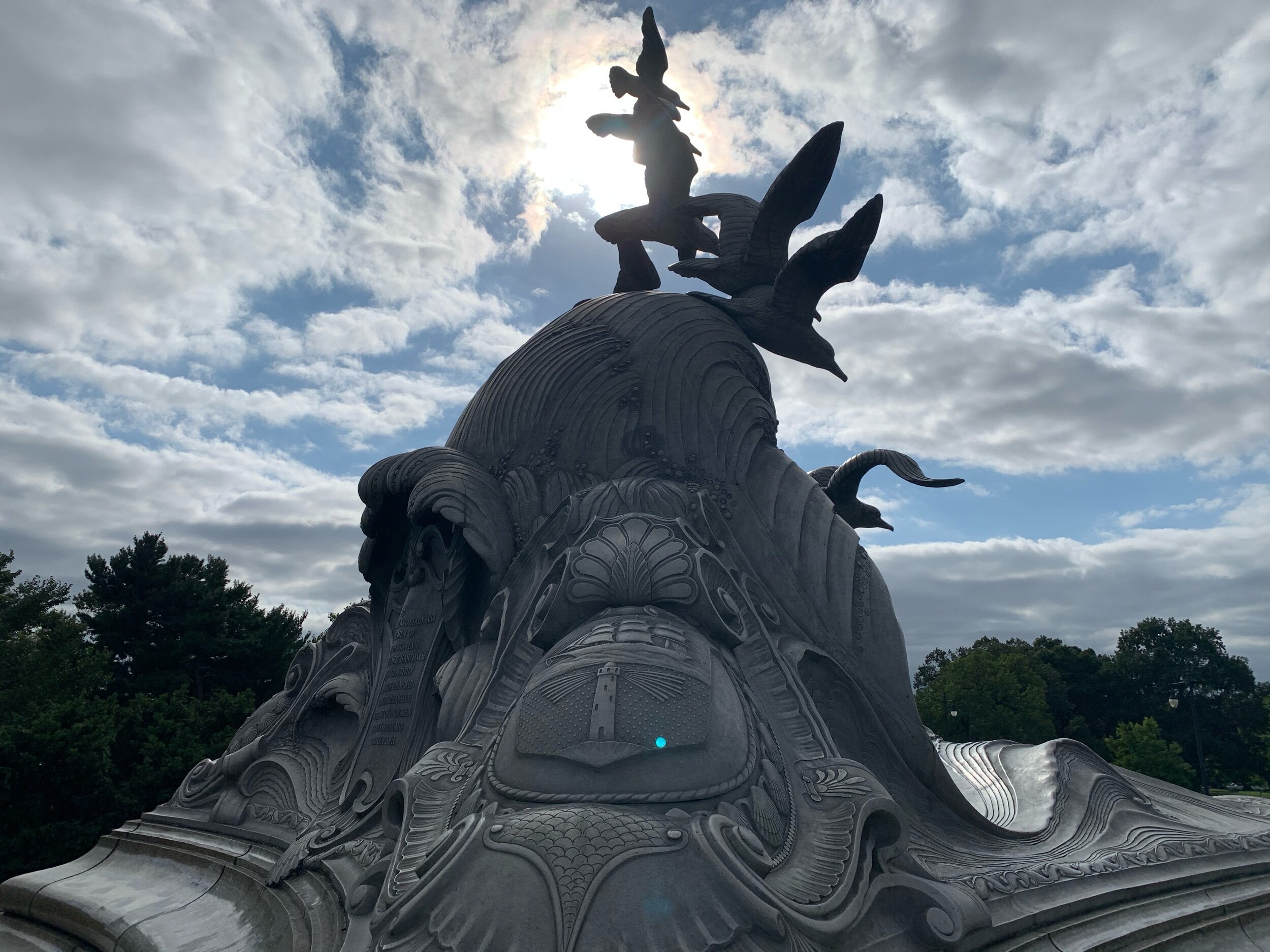
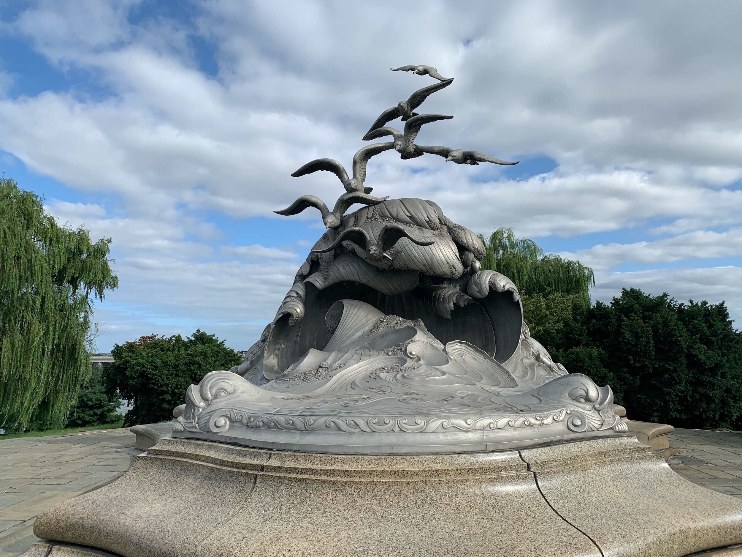
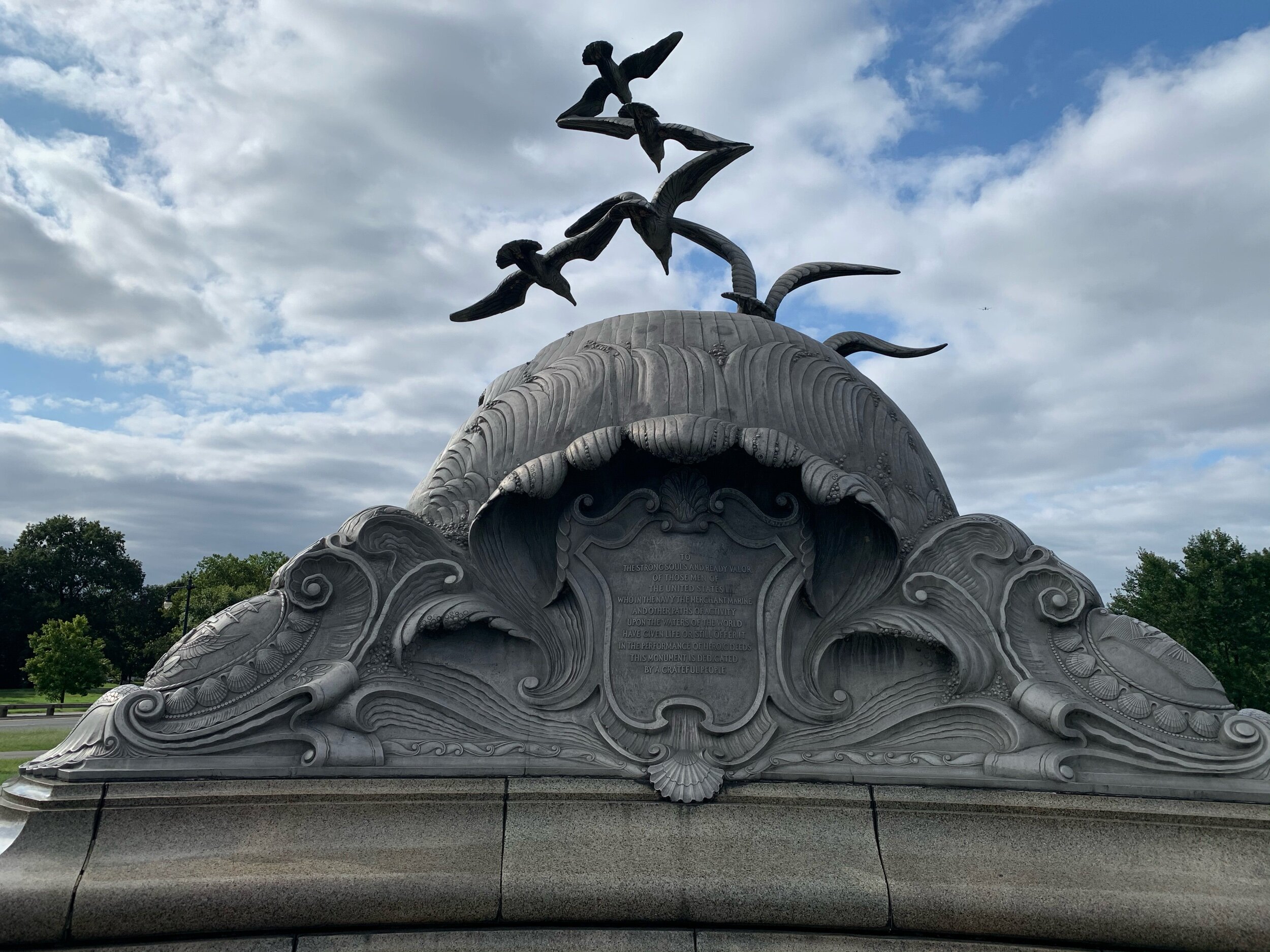
Another beautiful spot along the river is the Navy Merchant Marine memorial. The monument sits right along the river-side, and in the late spring-early summer, it is surrounded by the most beautiful multi-colored tulips! The monument honors US military and Merchant Marine personnel who were lost at sea during the first world war. It can be seen across from East Potomac Park, gleaming in the sun on the shoreline, and I used to wonder what exactly it was, whenever I crossed the 14th Street Bridge and looked down. The monument was installed in 1934, after being cast from Aluminum in Cleveland and shipped to DC. In the sunshine on a clear day, the monument is quite shiny. It depicts crashing waves with seven sea gulls flying over top.

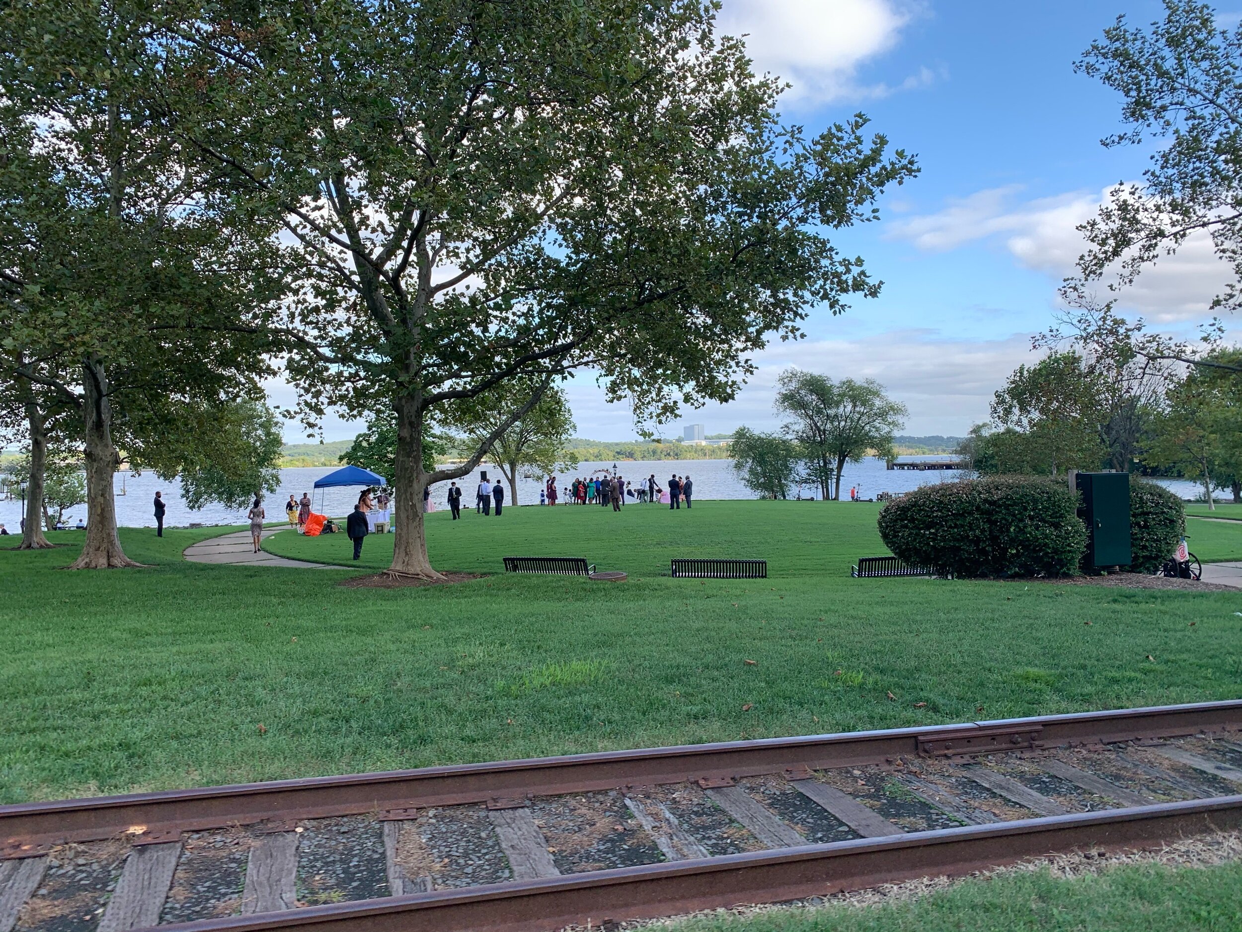
i needed to get home for dinner so I made my way back along the trail past the airport and through Alexandria. On the way, I passed a wedding at Orinoco park, and a street festival in old town.

Thanks for coming along with me!

THESE BLOG ENTRIES ARE PART OF MY PARTICIPATION IN MILES FOR HOPE, A MONTH-LONG EVENT TO RAISE AWARENESS AND FUNDS TO HELP MISSING AND EXPLOITED CHILDREN.

Washington DC - Tidal Basin and Monuments

Washington DC - Tidal Basin and Monuments

Type of Exercise: Cycling/Biking
Biking Stats:
Distance: 29 mi
Duration: 2 hr 27 mins

The trip to DC…

This morning started off at 5:11 AM. Like the Punxsutawney groundhog, I poked my head out the door, bleary eyed and groggy, to check on the weather situation. Weather was hazy, but no rain. Bike ride was a go! I wasn’t sure how far I would go today, but I knew I was going to push it as far as I could with the time I had if the weather would hold. I had missed riding yesterday because of the thunderstorms in the area.

A quick breakfast was eaten, and I was out the door. The Mount Vernon Trail North took me through Alexandria Old Town along the waterfront. On my way through Oronoco Park in Alexandria, I passed by Paul Manafort’s former seven figure condo complex that was raided by the FBI.

Sidenote: I used to bike past it all the time on my work commute, when we lived in Alexandria City. I actually biked past it ON the morning that THE search warrant was served on his residences, and I saw all the law enforcement vehicles blocking the garage entrance/exit. At the time I was curious as to what was going on. I also didn’t know that Manafort lived there, until I saw it on the news that same night after I already biked past it a second time on my way home!

I got some great pictures underneath the Wilson bridge on my way up! Underneath the Wilson Bridge is a park, which might make an appearance sometime soon as a blog entry! ;-)

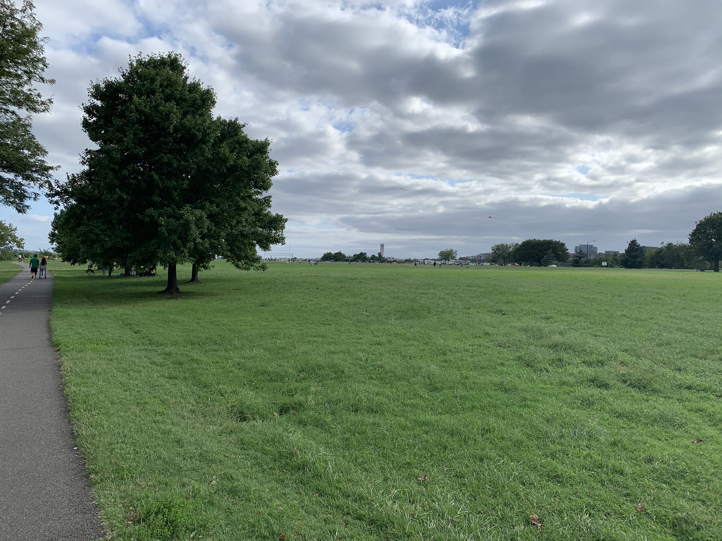
The trail winds North past Reagan National Airport and Gravely Point Park. Gravelly Point is a cool place where you can picnic with the delightful smell of jet-wash and the screaming noise of large passenger jets landing over top of your head. Seriously, though, it’s an awesome place to go and plane-spot. You feel as though you could reach up and touch the planes (when they are landing South on runway 19). If you look on a map, you can see that it’s a tiny grassy peninsula in the Potomac River, just North of the runway.

OK I need to take a moment to complain about a particular type of trail user. They are super rude. They stop in the middle of the trail with all their friends. They have NO consideration for other trail users. They are here visiting from another country, and they are 2-3ft tall. Yes, folks, I’m talking about the Canadian goose! While making my way through Gravelly Point, the trail was littered with geese. I slowed down to allow them to cross, but they would not budge. I wound my way in front of one, who immediately looked up at me and started loudly HISSING! How rude! A cyclist coming from the other side giggled and pointed out that I was getting hissed at.

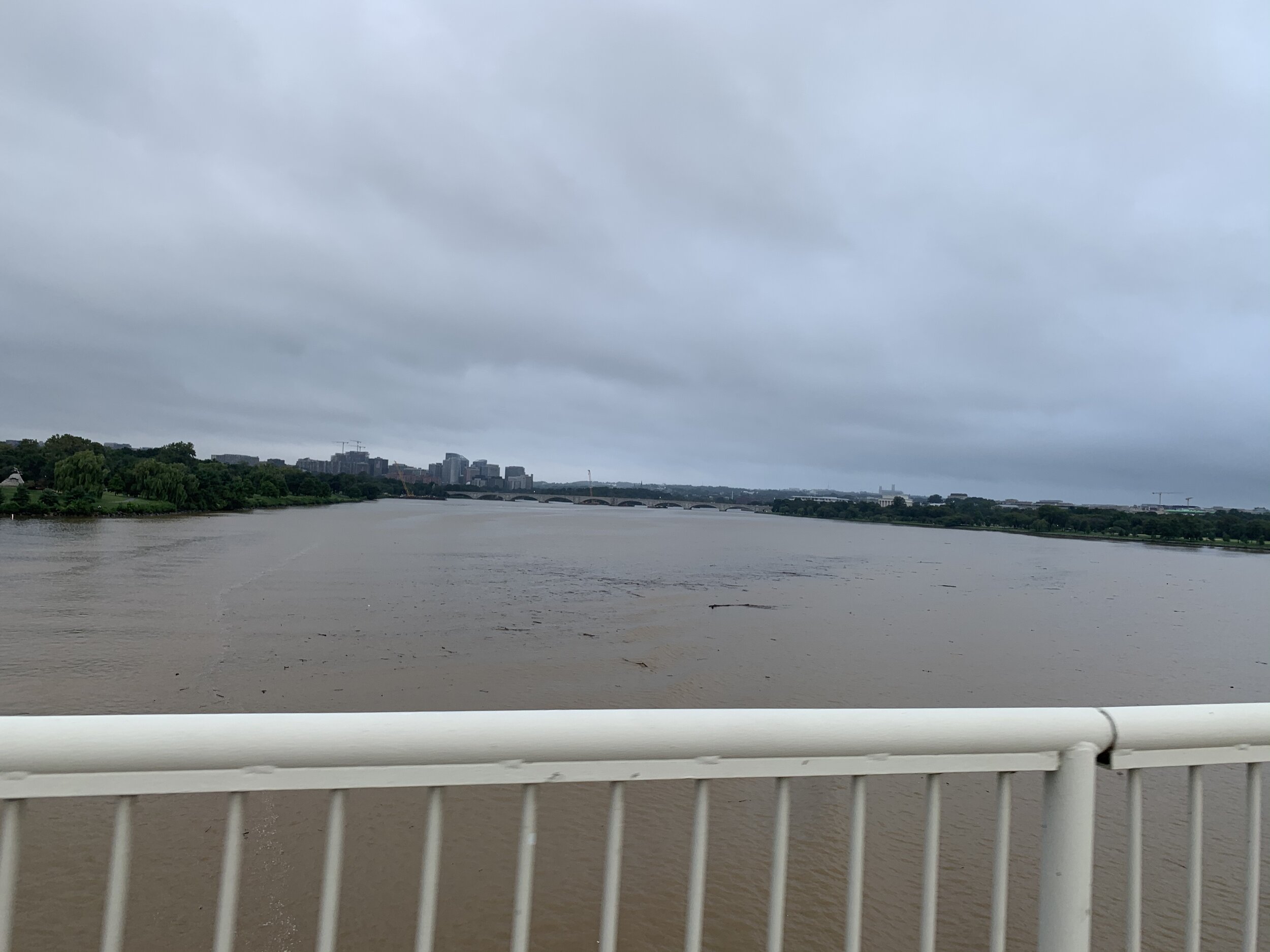
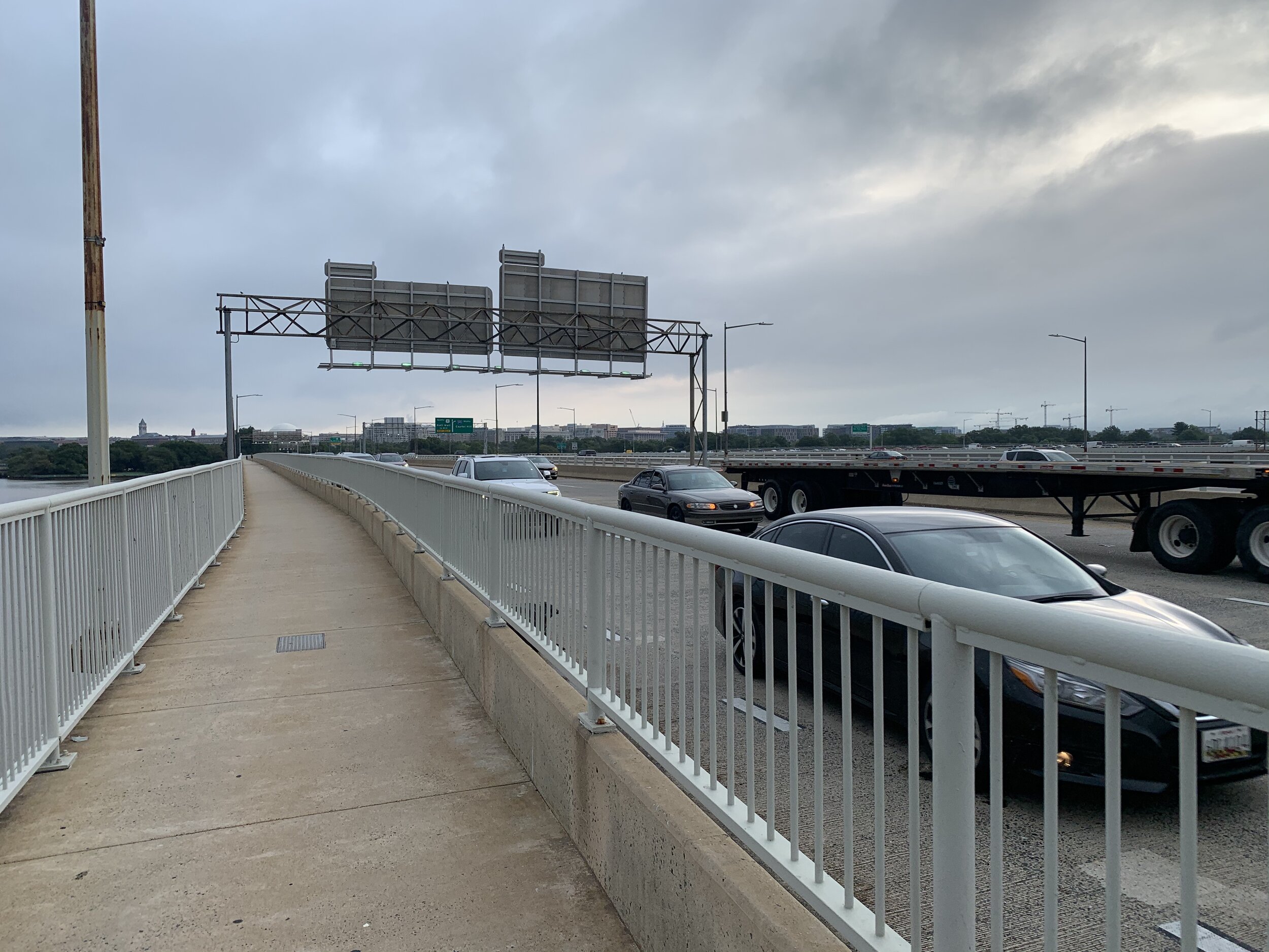
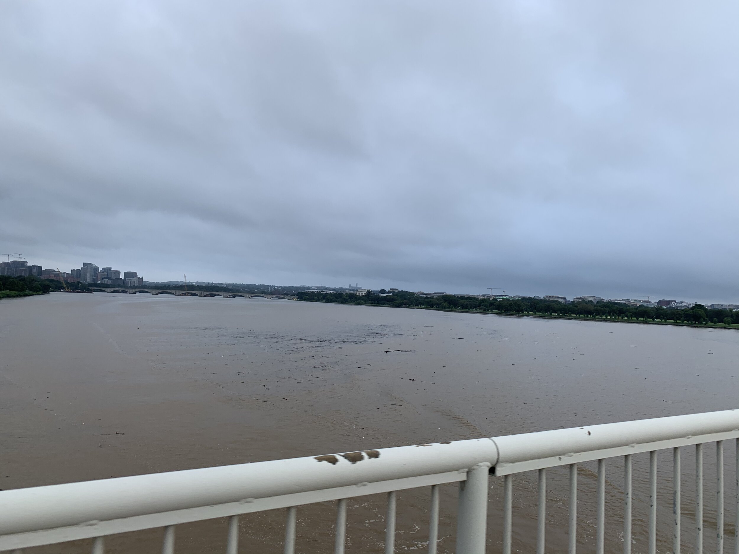
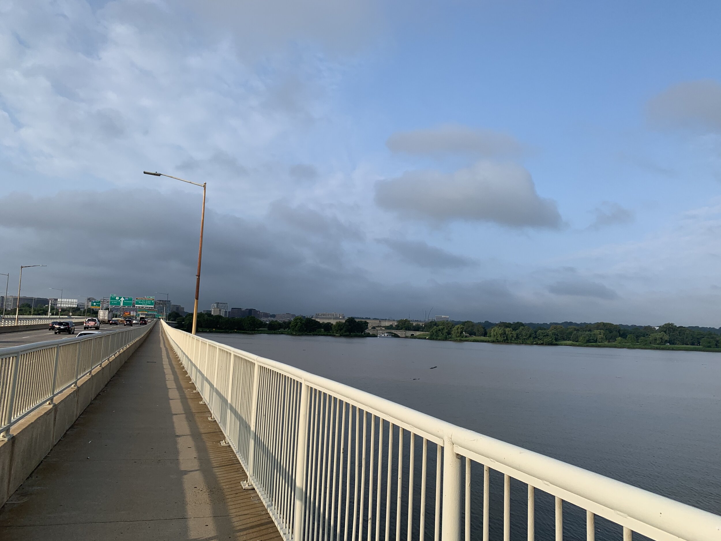
After that, I again I found myself in a situation where I needed to get across the Potomac River. This time, I was going to DC, not Maryland. The 14th Street bridge dumps out right at the Thomas Jefferson Memorial on the Tidal Basin, so I took that (as I always do). The 14th street bridge has a pedestrian/bike path on one side, which allows you to make the trip from Virginia to DC. It’s extremely loud and windy. There are no noise barriers, and it makes up one of the major through-ways out of the district. Thus, it is ALWAYS busy, except for the occasional presidential/vice-presidential motorcades. Trust me folks…the novelty wears off pretty quick for those, after you sit in the already horrible traffic and scream, because now you’re completely stuck waiting for a motorcade to clear.

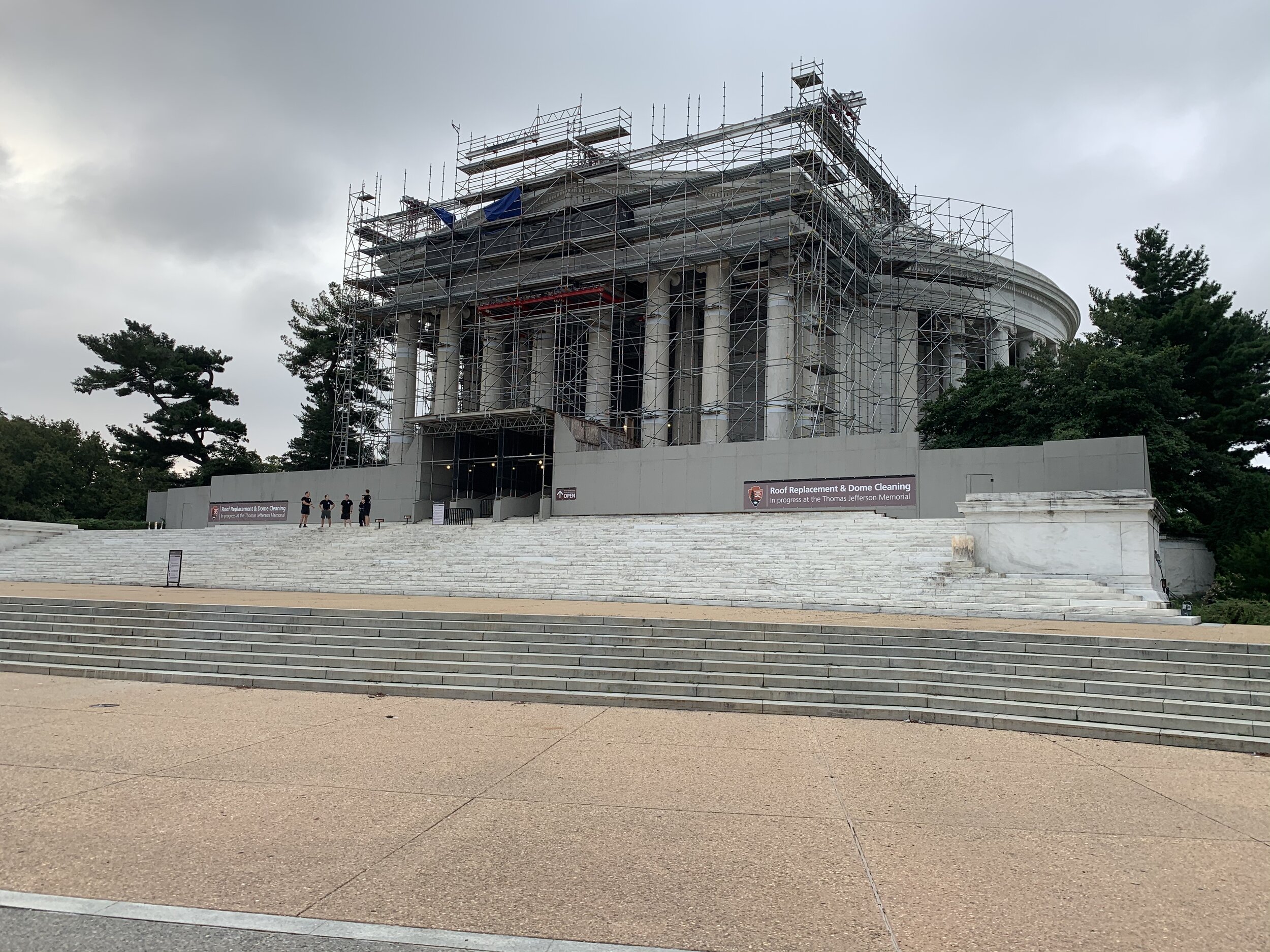
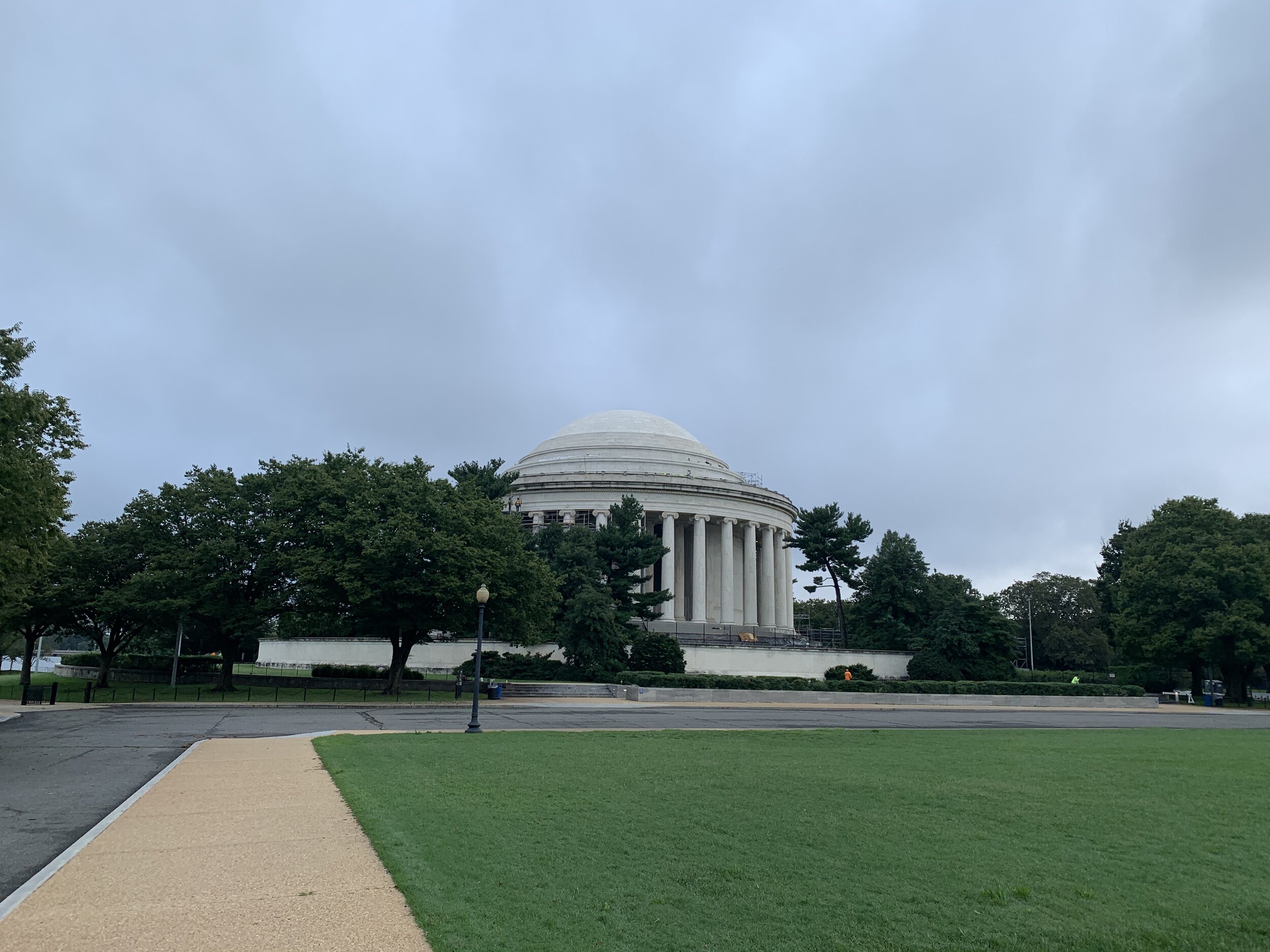
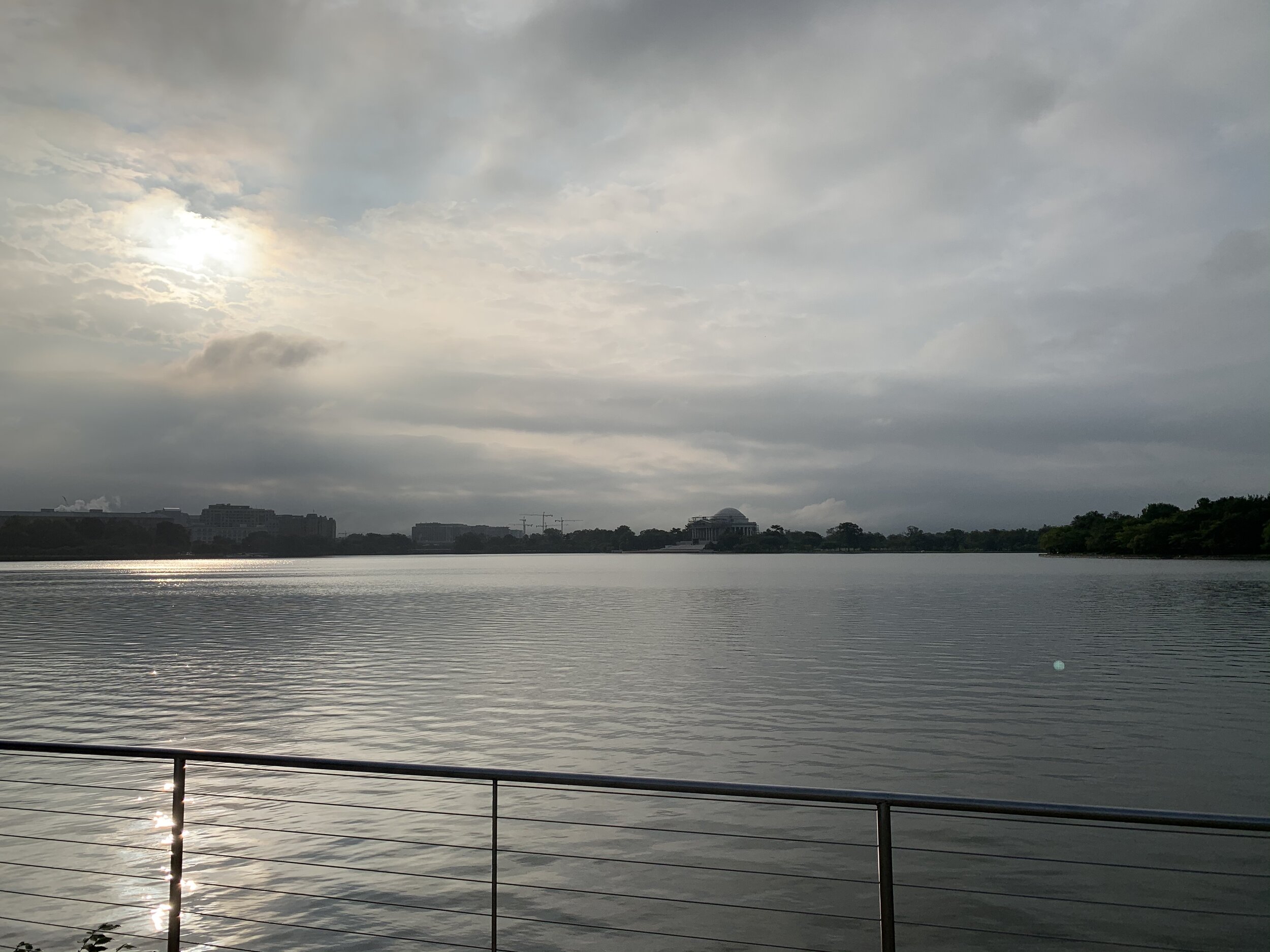
Once over the bridge, you’re treated to a gorgeous view of the Thomas Jefferson Memorial, which sits directly on the waterfront of the tidal basin. Today ALL of the landscapers were out mowing and weed trimming! I was dodging mowers and people with weed trimmers left and right coming off the trail. A DC Police Department cadet class was milling about on the pavement in front of Thomas Jefferson. They were out for their morning PT. We all definitely noticed each other. We were the only people there who were not landscaping or working on the Jefferson restoration project. Seriously, there was not a tourist in sight. It…was…GLORIOUS, but also quite eerie! The Tidal Basin is a tremendously popular place for tourists to visit in DC. In the spring-time people flood the basin to see the cherry-blossoms blooming. All other times of the year, people walk around the basin to the various monuments for pictures, etc. It’s usually a mad house with absolutely no room to bike and barely any room to walk! Today, it was BARREN. It was like a ghost town!

The Tidal Basin and Monuments

The Tidal Basin is a reservoir, and it serves an important function for the District of Columbia and the National Mall area. For all the rhetoric out there from divisive politicians about this topic in other contexts, DC IS actually a swamp. At it’s Southernmost point in East Potomac Park, DC sits at the confluence of two big rivers, the Potomac River and the Anacostia River. Rivers, just like other large bodies of water, experience tidal changes, due to the forces of gravity visited upon the earth by our moon. The Tidal Basin serves to catch the tide waters, which are then used to flush the adjacent Washington Channel out into the Potomac River.

The Basin was first planned in the 1880s by Army. Colonel Peter Hains, and the very tip of East Potomac Park, where the two rivers meet, is called Hains Point. For those of you, who read my post about the National Harbor, the “Awakening” statue of a giant struggling to free himself from the ground at the National Harbor was originally placed at Hains Point and later sold/moved.

The Tidal Basin was designed with the intent for it to also be a jewel of the capital, and gradually the government adorned it with monuments, gardens and parks. You can play baseball or golf at the diamonds or at the golf course in East Potomac Park. All kinds of soccer, kickball, flag-football, and other sports leagues meet regularly at the park to play (pre-pandemic).

The waterfront provides an excellent array of photo opportunities of monuments, cherry blossoms, and parts of the national mall. You can fish in the Tidal Basin, and the catch is pretty good. You’ll find a wide array of marine life at the end of your hook, if you dare drop it into the Tidal Basin, including: small mouth bass, large mouth bass, eel, bluegill, catfish, and the massive dreaded invasive snake-head fish.

There’s a story in my family that my maternal grandfather proposed to my grandmother at the Tidal Basin among the blooming cherry blossoms, while he was stationed in DC as a White House guard. So the Tidal Basin has a round-about role in my existence!

The basin has also been the site of a few nefarious/scandalous happenings in the DC area, of course. Wilbur Mills, former Ways and Means Committee Chairman in the House of Representatives, had his limo pulled over by Park Police on the Tidal Basin, and when they opened the door, a famous Argentinian stripper came bolting out of the car and jumped into the water! They rescued her and ensured the limo got all parties home, but there seems to be an implication that Mills was drunk and inexplicably had scratches all over his face (from the stripper). You can read more about it here from the son of a former Mills staffer.

As alluded to previously, ole’ “Tommy-J” (Thomas Jefferson Memorial) is getting a face-lift and a new ceiling, thanks to the National Park Service. Prior to this work, the top of the structure had been partially covered by a black biofilm that seemed to have stained the marble. For years, this Memorial has had the strangest stripe on the top of the dome, as the Park Service tested a laser removal strategy on a slice of the monument. It seems that they are finally ready to clean the rest off!

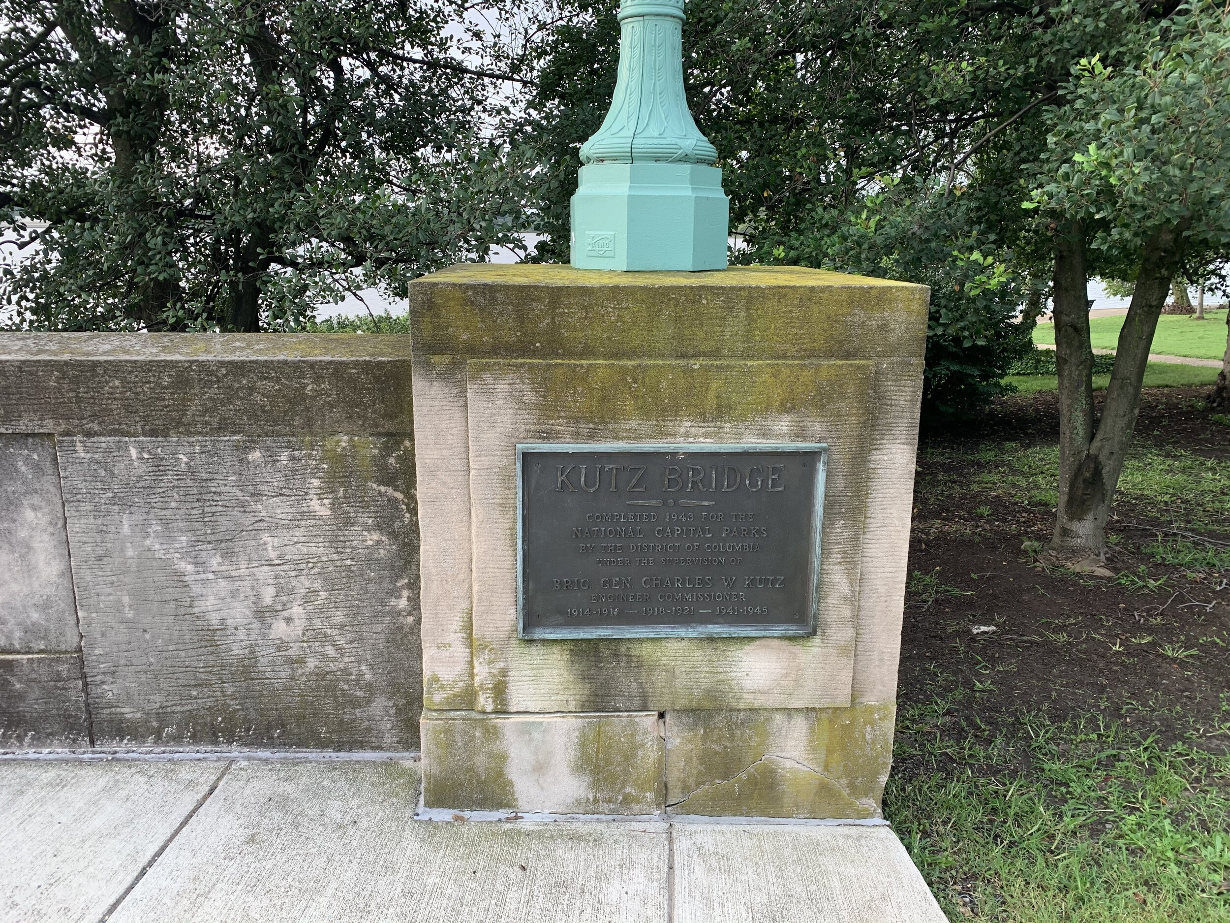
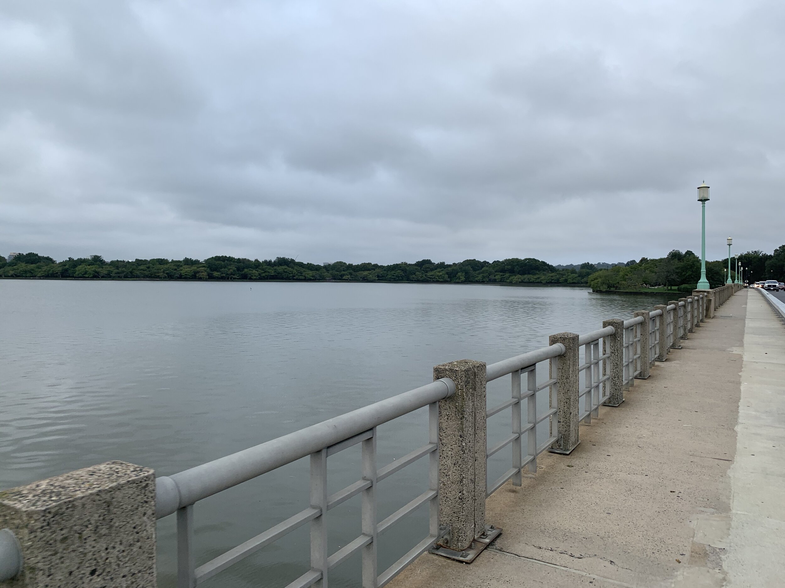
I wound my way around the basin to the South on the East side, passing the paddle boats. The boats were all chained together and empty. It’s so strange to see the basin without a million tourists on paddle boats! I made my way over the Kutz Bridge, named for Brig. General Charles Kutz. Kutz was a civil engineer and sat on the Board of Commissioners in Washington DC.

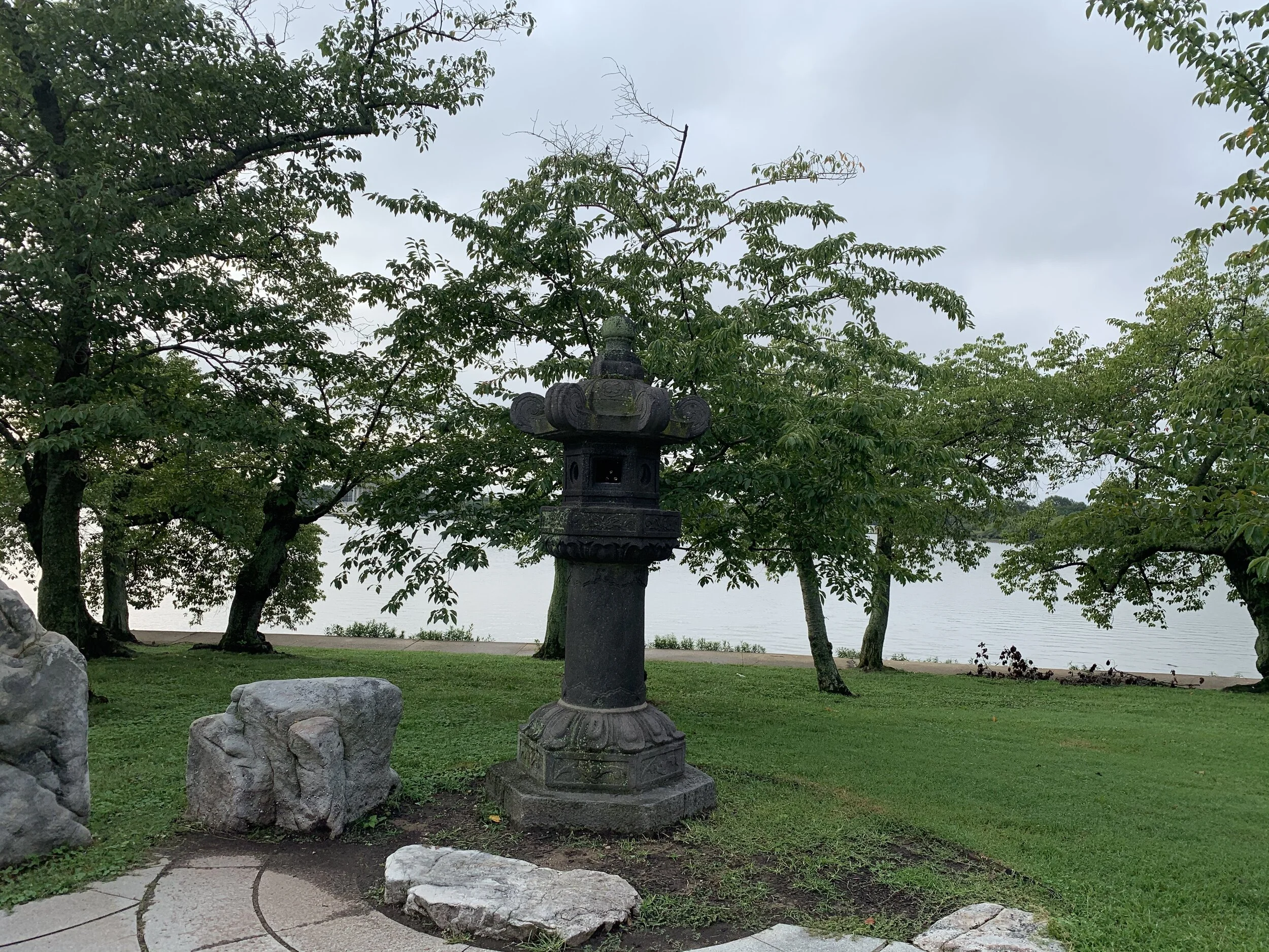
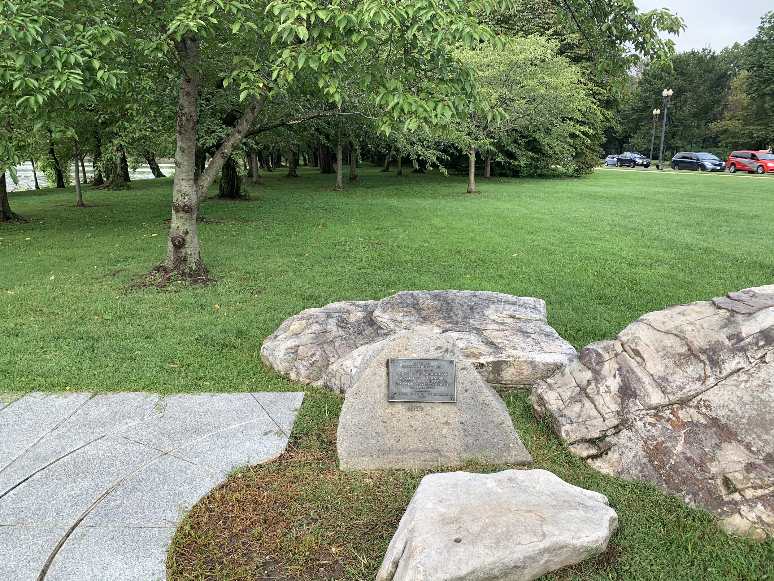
I don’t usually make it to this particular part of the Tidal Basin, so I wound up finding something new to me. The place where the first cherry blossom tree was planted is marked with a special monument and a stone Japanese lantern!

The cherry blossom trees, which attract so much attention in the spring, originated from a request by the first female board member of the National Geographic Society, Eliza Scidmore. She made a request to the Office of Public Buildings that trees should be planted along the Potomac River. According to a WTOP article on the subject, her request was duly ignored by the Army Superintendent of that office, so she went straight around him and got the first lady, Helon Taft, on-board! They began raising funds to plant cherry trees, when a Japanese chemist in DC asked if they would accept a donation of 2,000 trees from Japan. The mayor of Tokyo gifted the 2,000 trees to the United States to be planted along the Potomac, but they were all diseased when they arrived and had to be burned. The Japanese mayor then made a SECOND donation of 3,020 trees, which were planted. In return, the US gifted the Japanese people with flowering dogwood trees.

The whole affair is a lovely and beautiful diplomatic gesture, which is celebrated more than 100 years later with an annual Cherry Blossom Festival on the Tidal Basin. In times like this, it’s also remarkable to note the metaphor of those 3,020 (tree) immigrants coming to our shores, taking root in the USA and making it so much more beautiful by adding theirs to ours.

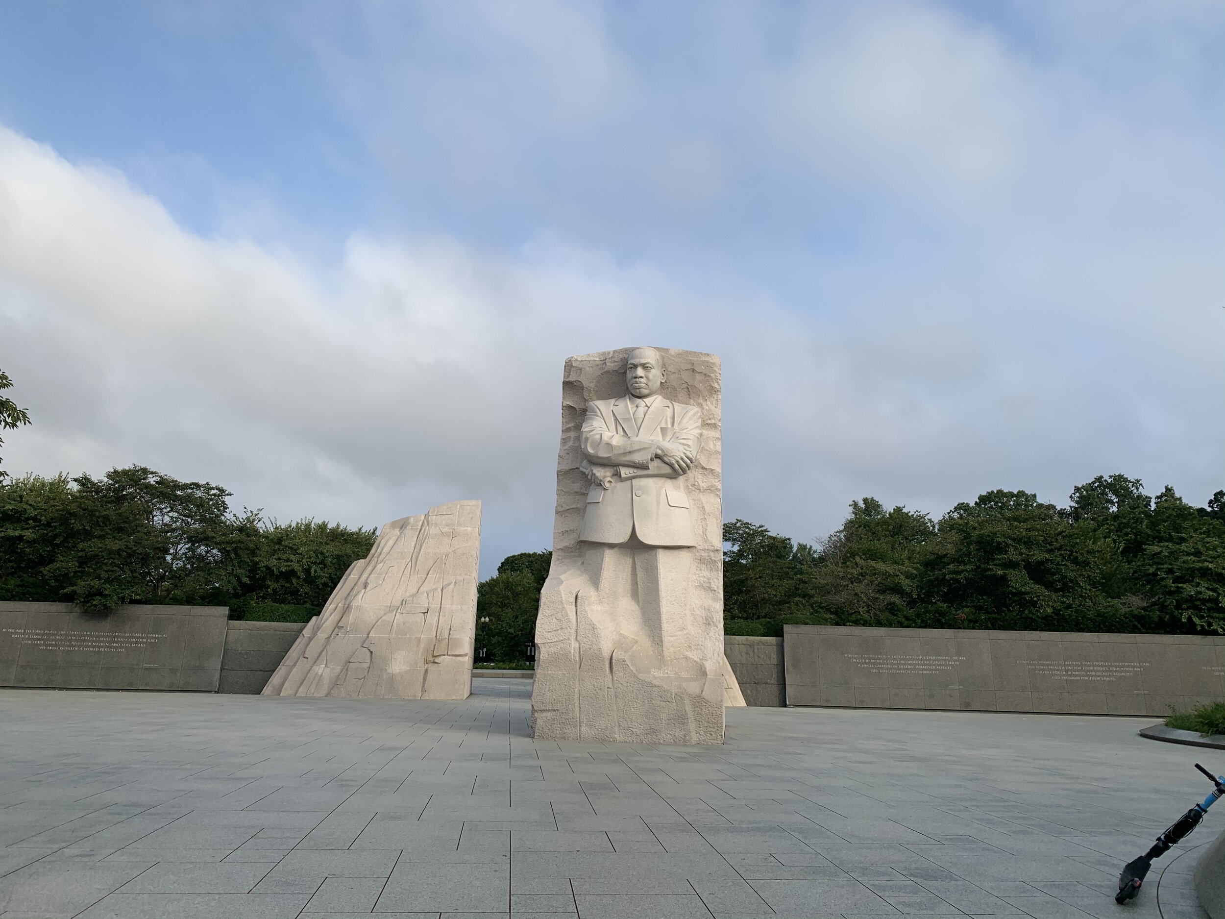
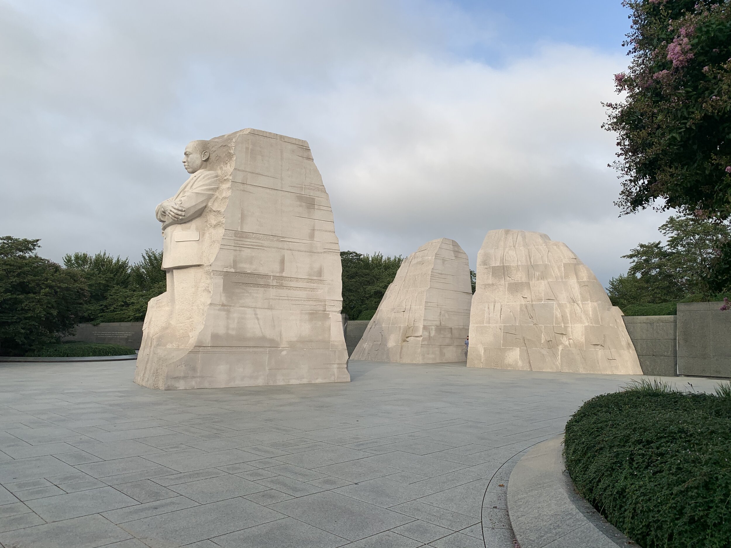
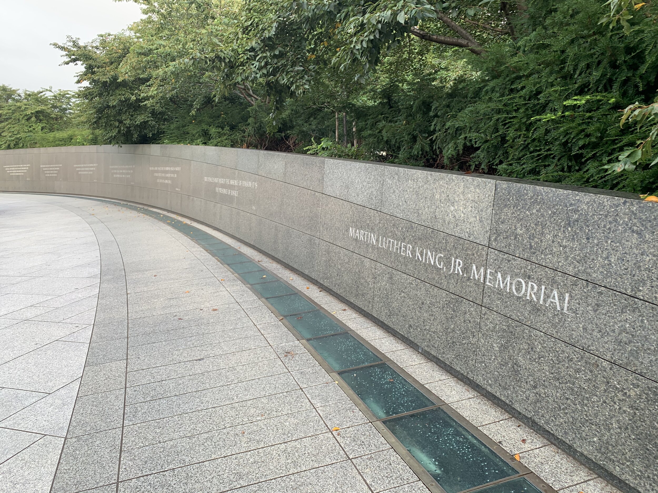
My morning journey continued on to the newest monument on the basin, the Dr. Martin Luther King Jr. Memorial. The memorial is incredible and contains inspiring quotes from his many speeches across the country in stone, set into a beautiful garden with smooth stone benches. King himself looms large over the waterfront and is depicted in profile emerging from a large stone. He stands tall and proud, gazing over the waterfront. Far behind him and separate is the remainder of the stone from which he emerges. The concept is that King is a stone of hope out of the mountain of despair. The monument is truly remarkable.

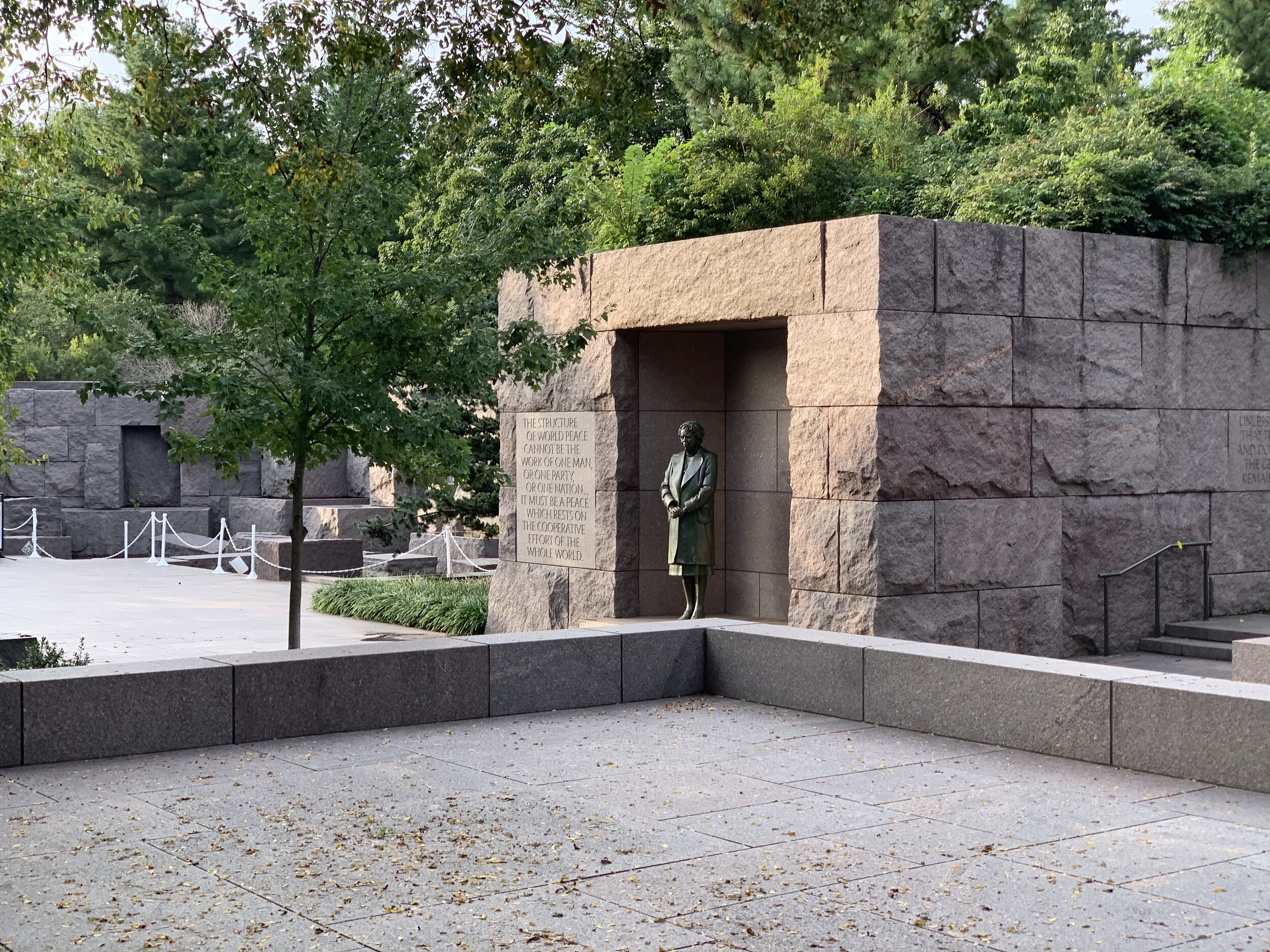
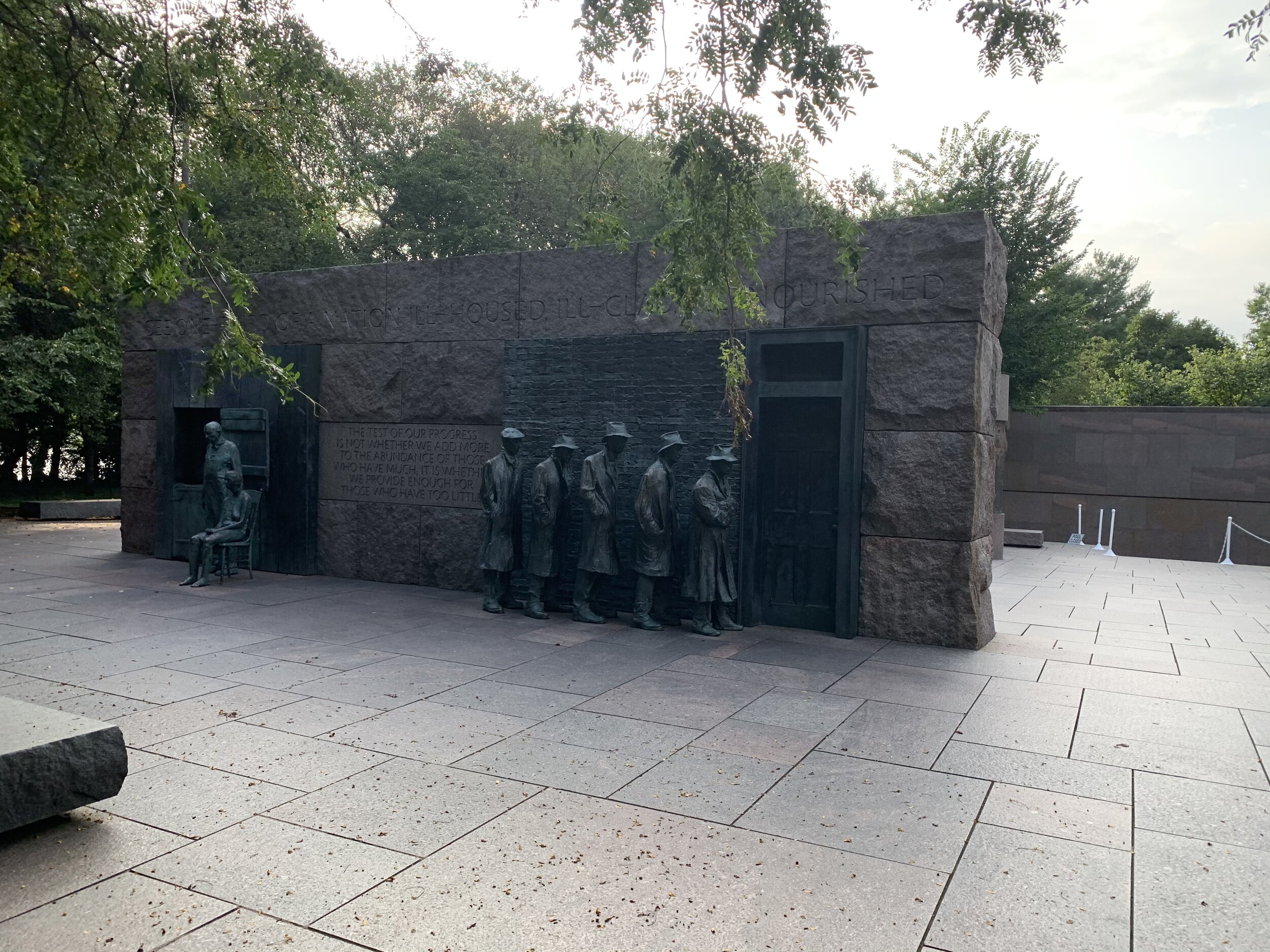
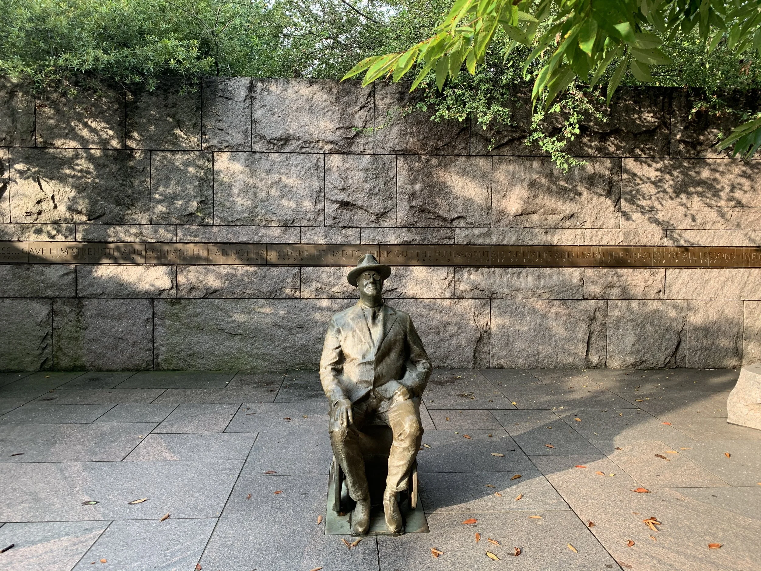
Time was ticking and I needed to keep moving. Next up was a breeze-through tour of the Franklin Delano Roosevelt Memorial. It sits on the South West side of the Tidal Basin, and contains depictions of all 4 terms of FDR’s presidency. Yes, you read that correctly. FDR served in 4 terms as President of the United States. He served before there were term limitations on the office. The author of the New Deal has one of the coolest monuments in Washington DC, depicting the economic, social efforts of his administration. The quotes on the walls are my favorite parts. Major events such as his fire-side chats are depicted in statue.

If FDR were alive today and knew of this monument, he would not have been happy about it. He did not desire to have a huge monument dedicated to his achievements. Instead, he wanted something much more modest and low-profile. Before the massive monument around the Tidal Basin was built, he already had a small “Block” of a monument in front of the National Archives, which simply reads “In Memory of Franklin Delano Roosevelt 1882 - 1945.” That monument remains in front of the National Archives, and so FDR is a president with 2 monuments in his name. He would be most displeased.

Eleanor Roosevelt (America’s longest serving First Lady) is also honored for her contributions as a delegate to the United Nations General Assembly. All of the fountains were turned off, so I snapped a few pictures and moved right along.

I did have one VERY strange thing happen to me while in DC. I saw an albino squirrel! I’ve only ever seen 2 of these in my entire life! I pulled out my cell phone and snapped a bunch of pictures as fast as I could, but before I could take a decent picture, he was gone! He leapt from tree to tree, and there was no way for me to pursue him. Bummer! The pictures of the squirrel that I DO have, are blurry. This might as well be a “Bigfoot” or “Sasquatch” story, given my terrible evidence!

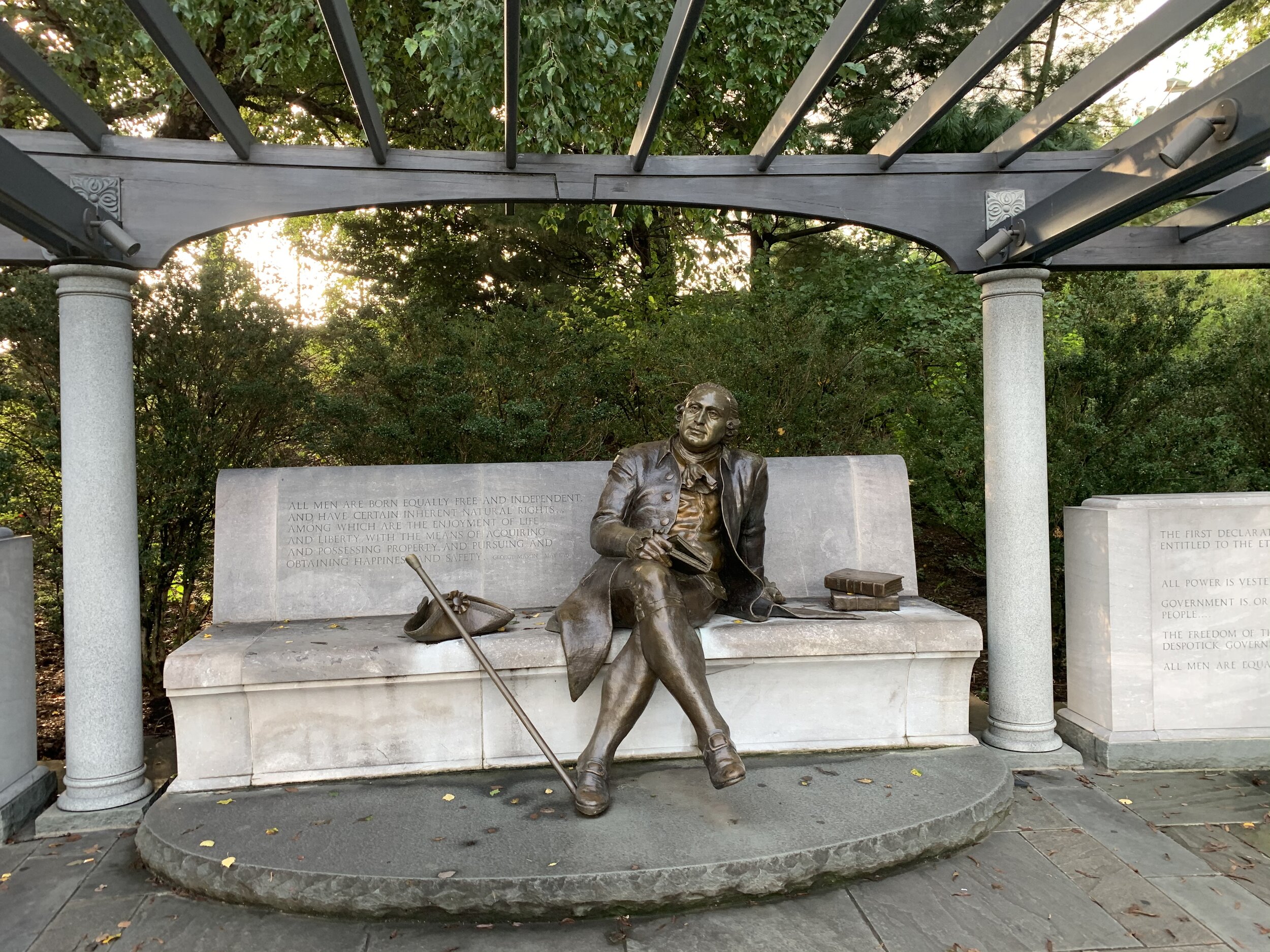
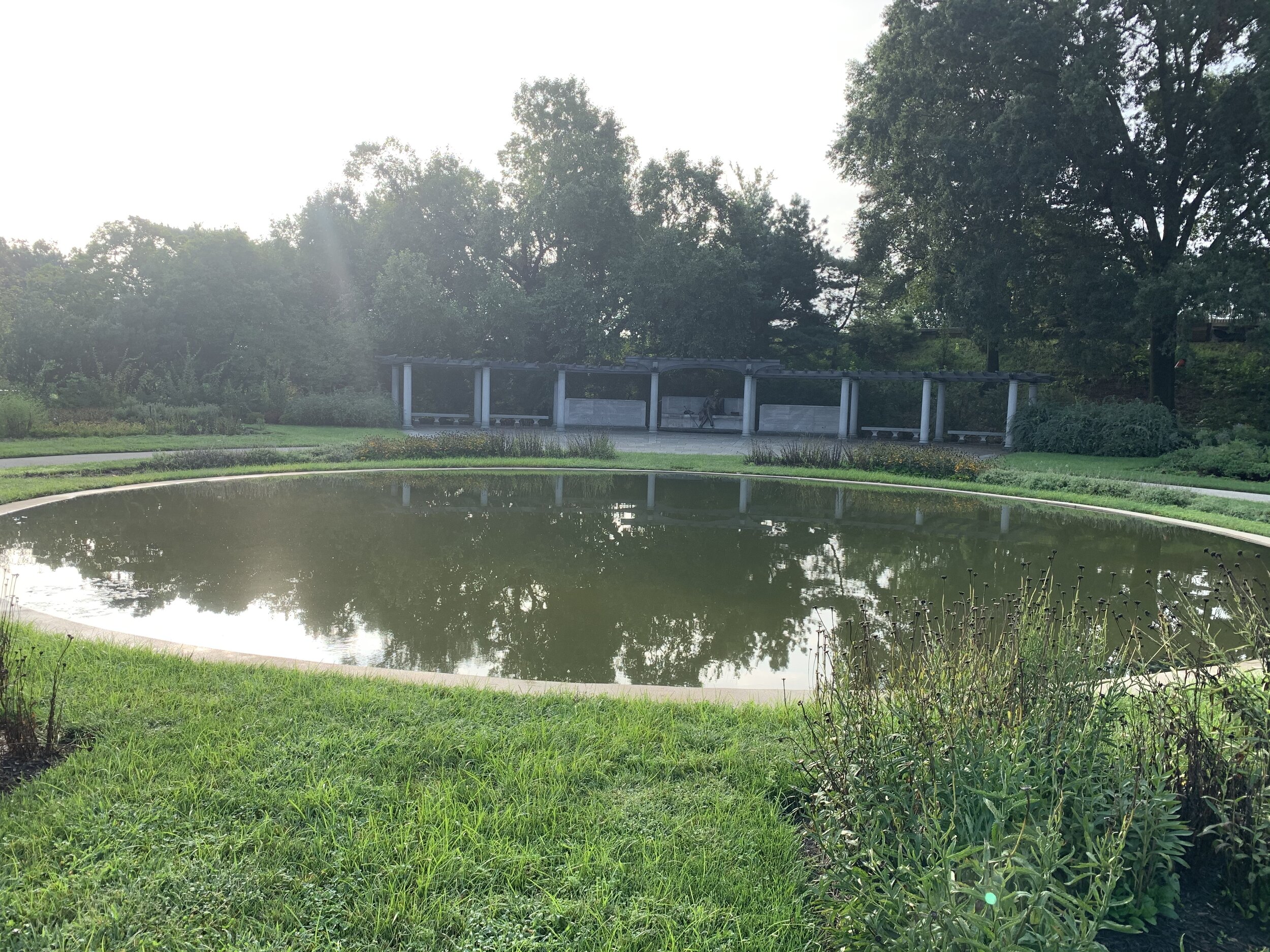
The last memorial on the Tidal Basin is for someone, who readers of this blog will readily recognize, George Mason. The man and generations of his family were land owners of large areas of Alexandria and Fairfax County, including the land upon which my house sits. They were the functional equivalent of the next door neighbors to George and Martha Washington. Mason was also one of the founding fathers of the country and the author of the Virginia Declaration of Rights, which was the foundation for the Bill of Rights in the US Constitution. His slave ownership and later political activities during the Constitutional Convention are seemingly counter-intuitive to some of these beliefs, but he is honored with a monument there along the river. He sits on a bench underneath a trestle and in front of a beautiful pond in East Potomac Park.

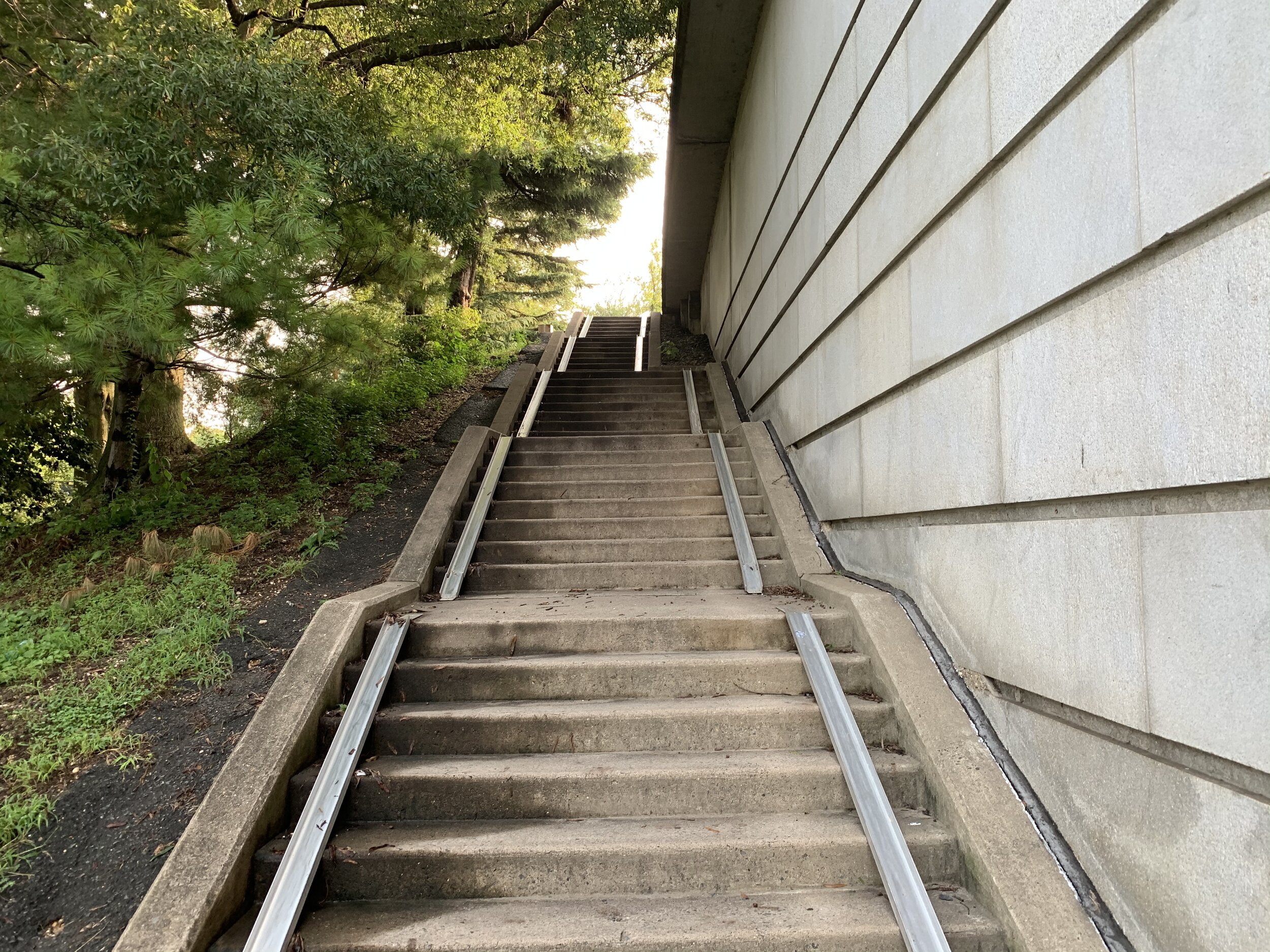
It was time to get home! I had a long ride back and my knee had twinged up a bit, causing me to lose a little time. I had a long ride back home ahead of me, so I huffed my bike up the stairs to the 14th street bridge at Ohio Drive. The stairs now have metal slides on them so you can wheel your bike up them. Yay! No more carrying my bike on my shoulders up the stairs!

Once on the bridge, I began racing the metro trains all the way to Alexandria, before continuing south en-route to home and work. Thanks for riding along with me!

THESE BLOG ENTRIES ARE PART OF MY PARTICIPATION IN MILES FOR HOPE, A MONTH-LONG EVENT TO RAISE AWARENESS AND FUNDS TO HELP MISSING AND EXPLOITED CHILDREN.

National Harbor - Oxon Hill Maryland

National Harbor - Oxon Hill, MD


Type of Exercise: Cycling/Biking
Biking Stats:
Distance: 17.03 mi
Duration: 1 hr 28 mins

Alrighty, so this morning I woke up at 5:30 am to set out on a trip to the National Harbor across the Potomac River from Washington DC and Alexandria…5:30…AM…that’s how much I love you people! Ha!

Breakfast was made…tea was poured and consumed. As soon as the morning haze had lifted a bit, I was out the door and on my bike! This time, I remembered to activate my tracker before leaving!

The trip up the trail towards Alexandria was uneventful. It was full of cheery, “Hello’s,” and “Good Mornings,” as I passed all the other crazy people up this early, who were out on the trail for an early morning walk/jog. Some were pleased to greet me back! Others…well maybe they had not had THEIR morning tea yet.

So I’m in Virginia, and my destination is in Maryland. The only way to get there in less than 100 miles is to cross a river…

Woodrow Wilson Memorial Bridge

The trip was to take me over the Woodrow Wilson Memorial Bridge, an engineering masterpiece that was completed about 12 years ago. Though it’s referred to as a single bridge, it’s technically comprised of two bridges, which form the southernmost point of the Capital Beltway, inner-loop and outer-loop. It spans the Potomac River, touches 2 states and the District of Columbia, and in the center are two drawbridge sections to allow large craft to pass through. Currently it provides passage for 3 types of traffic (bike/pedestrian, automobiles, and ships) with two additional lanes were built-in for the possibility of future rail traffic!

The pedestrian portion of the bridge is really awesome. Along the way there are scenic overlooks of the Potomac river with way-sides and telescopes! A small part of the pedestrian stretch on the Virginia side is padded with a glass sound-wall, which helps with the extreme traffic noise. Once you’re past that, you’ve got to shout and ring that bell loudly to let people know you’re passing, because it gets LOUD! On the Maryland side of the bridge there is a lovely park. Yes, you read that correctly. There is a park ON the bridge, Potomac River Park. The park is located on a small jutting mushroom-shaped peninsula that pushes out into the river from Oxon Hill, MD. A portion of the beautifully planted green park is suspended above traffic. You can stand amongst the trees, shrubs, and flowers on the nicely paved paths and look down on cars and trucks in transit underneath you.

The original bridge (replaced by the current) was also a drawbridge, but much lower to the river, necessitating more traffic stoppage to open the bridge and allow watercraft through. It was built in 1956 and finished in 1961. Both iterations of the bridge have been named for President Woodrow Wilson, a Staunton, VA native, who drove his automobile for leisure and believed that such infrastructure was crucial to the growth and development of our country. Wilson’s wife, Edith was supposed to be the guest of honor at the dedication on December 28, 1961, but she died on the morning of the dedication ceremony. How crazy is that!?

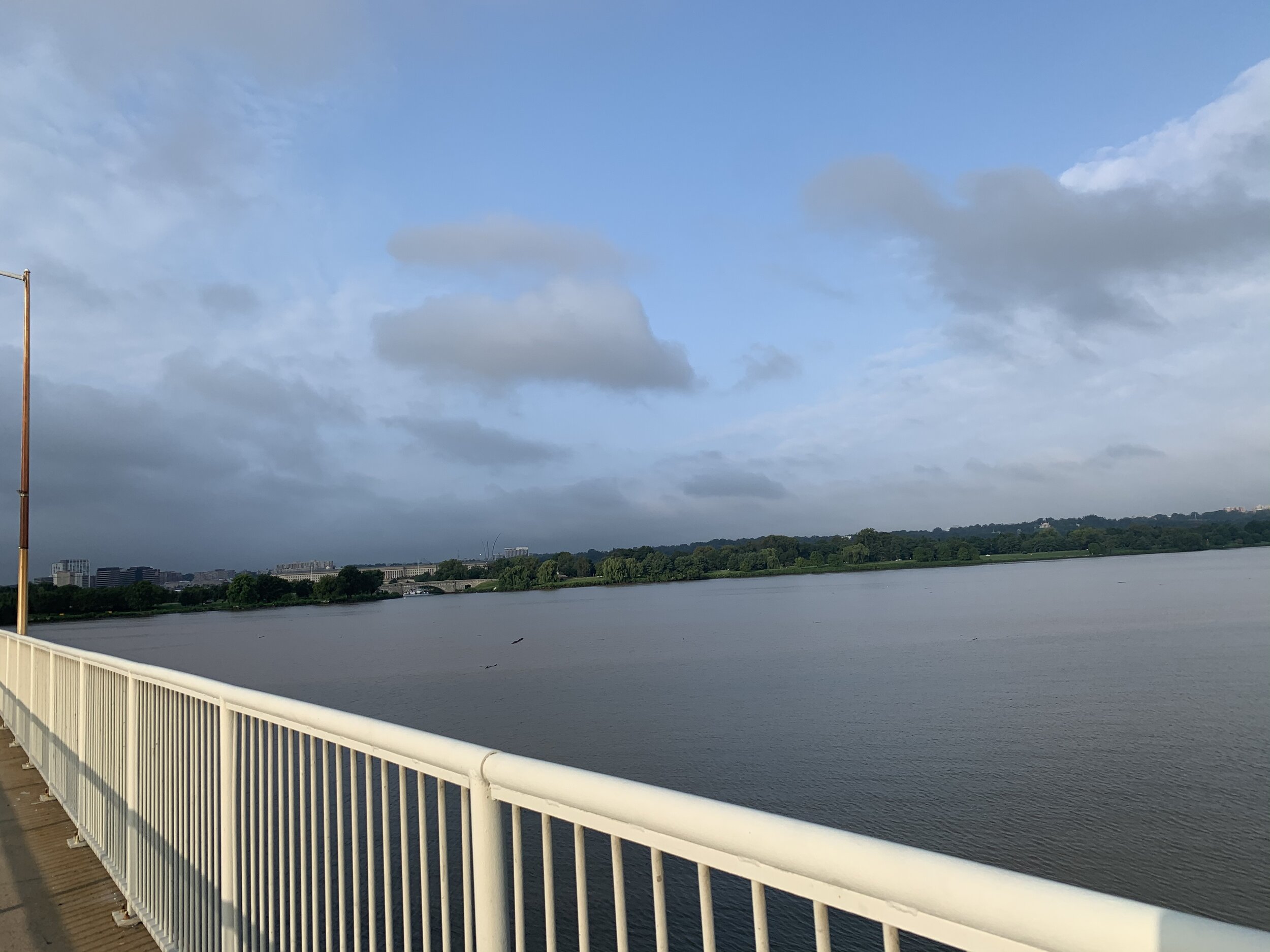
I made my way over the ~2 mi bridge, screaming hellos and whatnot at my fellow bridge-goers as I passed through 3 territories over the hazy morning river. Of course, I stopped for pictures as well!

National Harbor

The National Harbor is a large mixed-use waterfront development that has just about everything you could want within a 2 square-mile radius. It has various shops (some high-end), bars, restaurants, a giant ferris wheel (with the expensive climate conditioned pods), the Gaylord National Resort and Convention Center, outlet shopping, the MGM Resort and Casino, a carousel, yacht marina, and paddle-boating area.

The land was originally home to the native Piscataway people, an Algonquian speaking people, who relied on the Patawomeck (Potomac) river for resources and transportation. They were a well organized confederation, spanning parts of Maryland and Virginia. When the Europeans encountered them, they found it easy to communicate, given that their language and culture was similar to the Powhatan to the South, who the English had already encountered. The Piscataway hoped that the English would provide protection from warring neighbors to the North. Eventually, as the Maryland colony prospered, the English turned on them and took their valuable land and resources.

Colonel Thomas Addison bought thousands of acres of land along the Potomac River in 1667 and formed a plantation, which grew tobacco. At the time, tobacco was a huge cash crop, and the leaves were even used among colonists as currency. It was THAT valuable of a crop. Addison built Oxon Hill Manor, which was very revered in the region. It displayed his great wealth in its style and architecture. It had multiple stories (quite something for the time), and had numerous structures surrounding the building, which like contemporary estates, were focused sustaining colonial life and household. Unfortunately, like many plantation owners of the time, the Addisons were slave-owners, and so slave quarters were a part of those facilities.

The land remained in the hands of Addison’s descendants after he died in 1727. Thomas Addison’s great grandson, an Episcopal minister at St. John’s Church in Georgetown, presided over the funeral of…you guessed it, George Washington.

in 1810, Zachariah Berry bought the Oxon Hill plantation from the Addisons and installed his youngest son Thomas there. In the mid 19th century, tobacco was no longer the cash crop it used to be, and all of the overhead in planting, maintaining, and harvesting was not worth the investment anymore. The Berries tried their hand at corn, oats, and sweet potatoes. Thomas Berry Jr. the grandson of Zachariah Berry eventually inherits the land, and there’s some incident regarding his sanity, due to a situation with his wife and his sons and some bad business dealings. The land was sold off and the mansion was eventually destroyed in a fire.

In 1927 a diplomat (Ambassador to Cuba and Undersecretary of State to FDR) and his wife, Sumner and Mathilde Welles, purchased the Oxon Hill estate and built a new Oxon Hill Manor. Apparently, Roosevelt loved to visit the estate and was there often! The Welles sold the place in 1952 to the Maryland National Capital Park and Planning Commission.

On the developed Oxon Hill of today, you can shop, eat, drink, ride a giant ferris wheel, go yachting, go paddle-boating, or… enjoy some unique pieces of art…

“The Awakening” is a huge five-piece aluminum sculpture of a giant buried in the ground struggling to free himself. It originally sat across the river at the southern tip of Washington DC at a place called Hains Point, in East Potomac Park. There are also two 4,500 lb stainless steel eagles on 60 foot poles looking over the waterfront area. They seem to be flying over the river.

The National Harbor is also host to the Air Force One Experience, a full-sized Boeing 747, painted as Air Force One. The plane appears to be some sort of guided tour museum experience. It’s by appointment only for groups, and I’ve never been to it, but I’ve watched it being installed and wondered why Air Force One was parked so far from nearby Andrews AFB! Ha!

It was getting on into the morning and I needed to hop back on my bike and get home so that I could log in to work! I wound my way back the way I came, taking pictures as I went.

One picture in particular is of a duck posing on a small piece of wood in the river. I originally passed him on the way in and was kicking myself for not stopping to take a picture then! Well, he was waiting for me on the way out about 20 minutes later, so I got it then. What a polite and considerate duck!

Thanks for riding along with me!

THESE BLOG ENTRIES ARE PART OF MY PARTICIPATION IN MILES FOR HOPE, A MONTH-LONG EVENT TO RAISE AWARENESS AND FUNDS TO HELP MISSING AND EXPLOITED CHILDREN.


Alexandria National Cemetery


Alexandria National Cemetery

Type of Exercise: Cycling/Biking
Biking Stats:
Distance: 19 mi (11 recorded)
Duration: ~ 2 Hours


“…On Fame's eternal camping-ground
Their silent tents are spread,
And Glory guards, with solemn round,
The bivouac of the dead….”

- Theodore O’Hara

Today I was joined by my wife, Jessi on a trip into Alexandria, to document the Alexandria National Cemetery. I must have been so excited to have Jessi come along that I forgot to start tracking the activity on my watch and lost all of our trip into town, about 8 miles. I only noticed when Jessi and I got into town and I looked down at my watch to check our mileage. Oh well! Today features a special guest appearance from my wife…

From Jessi:

On Finding Joy

As many people in my life know, a little more than 2 years ago I took a bad fall on a hiking trip and broke my back. That fall and the resulting chronic pain has changed me in ways I have not fully come to grips with. Before falling, Josh & I were avid cyclists and hikers. A regular weekend for us started with the notion that we would be doing a long distance cycling trip and/or a hiking trip. My life was, in nearly every way, defined by my cycling. And in one short moment, it was stripped away.

After 2 years of doctors, physical therapy, back braces, and soul searching I am in much different place today. As I’ve begun adding regular physical activity back to my life again, I’ve wondered time and time again, “will I ever feel joy again? Will doing this ever be fun again?” After fighting so hard to get it back, the initial hikes and bike rides were so hard. I was scared of everything. I was scared of falling again. Scared of being hit by a car and hurting my back again. Scared of forgetting how to do something. And they just weren’t fun. I felt no joy. I only felt fear.

One thing I’ve been trying to do these past months is learn how to give myself grace. I am still recovering. I do not have to be the cyclist or the hiker that I was before the injury. I do owe myself the chance to find joy in the things that used to bring me so much of it. And so. Today. Today I found that joy.

Today, in the fleeting moments of a September holiday, in the midst of a global pandemic, I took to my bike. And for the first time in more than 2 years, I felt true joy while riding. There was a rote familiarity to riding on the trails I used to know so well. It turned out that going down big hills screaming “WHEEEEE” really loudly and embarrassing my husband is still REALLY FUN. It turns out that injury isn’t the end of the road. I had a small spill - an error un-clipping myself from the pedals near to home. I landed in somebody’s springy well-mowed yard, and I managed to get up and finish the ride.

Joy, it turns out, was there waiting all along. For me to find it. It was in the unending patience of my husband who let me set a slow but steady pace for the longest ride I’ve done in more than two years. It was in the thrill of the downhill, but also in the accomplishment of making it up a big hill without taking a break. Joy is knowing that my body is different now but that my bike isn’t gone forever. Joy is not giving up on getting back this part of myself and working to regain more.

Now Josh is going to tell you a story about a cemetery. And you’ll realize we are two very different people.

Back to Josh…

The Cemetery

Two very different people, yes. One of us likes to go and investigate cemeteries and read ALL OF THE SIGNS and historical markers.

We wound our way along the Mount Vernon Trail North to the city of Alexandria and cut into the city underneath the MASSIVE Woodrow Wilson Bridge, which connects Virginia to Maryland across the Potomac at the National Harbor.

Once in town, we took my normal work commute route (from when commuting to the office was normal). So we found ourselves in front of the new Headquarters of the National Center for Missing and Exploited Children, who are putting on this Miles for Hope Event, and we snapped a selfie.

Following that, I rode over to Alexandria National Cemetery, a place I like to walk on occasion, during lunch hours (when working in town). The cemetery, first called “Soldiers Cemetery,” was originally about 4 acres of land acquired by the United States government in 1862. At the time and even until today, it is located within the City of Alexandria adjacent to Alexandria’s other cemeteries of various religious faiths. Eventually, around 1870 it was officially designated as one of the original 14 national cemeteries in the country. The establishment of these cemeteries was in response to the surge of war dead, resulting from the American Civil War 1860-1865. Many know of the nearby Arlington National Cemetery, which has its own stop on the local Metro Transit and contains the remains more than 400,000 people.

The Alexandria National Cemetery is tiny in comparison, housing only about 4,000 dead. Most are from the civil war era. During that time, Alexandria was the main station for all troops sent to defend the nation’s capital. Camps, including convalescent camps, were erected all around Alexandria to house soldiers and those who were recovering from war wounds. The soldiers stationed here were deployed to various forts and batteries in the locale such as Forts Farnsworth, Ward, Reynolds, Ellsworth and Williams.

Jessi and I had our wedding photos done at Fort Ward! It’s a lovely park all year round. The battlements and battery are preserved for the public to see. It’s really neat!

From here soldiers defending the capital marched to face the confederate army in nearby Manassas, Virginia. The battle was a crushing defeat for the Union Army, and a place was needed to bury their dead. Alexandria was also home to a number of medical hospitals and camps, which may have contributed to the need for such a place.

The cemetery originally contained a modest wooden house and fence, which was later upgraded in 1871 to Seneca Sandstone, mined from nearby Maryland. The sandstone is very unique and stately-looking. It has a red and purple hue to it and seems to weather extremely well. The house and sandstone fences remain in excellent condition today.

There are 4 particular graves I would like to highlight, as their deaths on April 24, 1865 are connected to a major national incident. These 4 men are: Peter Carroll, Samuel N. Gosnell, George W. Huntington, and Christopher Farley.

These men were Alexandria firemen, who were brought into the Quartermaster Corps of the Union Army and were deployed to search for Abraham Lincoln’s assassin, John Wilkes Booth. After Lincoln’s assassination, there was a massive effort both civilian and military to hunt down Lincoln’s killer, which spanned much of Maryland and into Virginia. The men buried here were seeking to prevent Booth from crossing the Potomac. Unfortunately, Booth had already crossed the Potomac two days prior to their deaths on April 22.

The men were on a ship called the “Black Diamond,” and they were patrolling the Potomac River. While on a picket patrol, it was not unreasonable to have minimal lighting. On that same night the USS Massachusetts was making its way down-river en-route to Norfolk, VA. They did not see the Black Diamond’s single light on the river and collided with it. Many soldiers/crew went overboard from the Massachusetts and by resolution of the incident, 87 men were dead or missing. Many of the bodies were not recovered from the river.

There is a plaque on a boulder next to these mens’ graves commemorating their sacrifice. It states:

”In Memory of Peter Carroll Samuel N. Gosnell Geo. W. Huntington Christopher Farley
Who Lost Their Lives April 24, 1865 While In Pursuit Of Booth The Assassin Of Our Beloved President Abraham Lincoln.”

You can read more about this story from the Dept. of Veterans Affairs here.

I snapped a few pictures of the large flagstone structure that showcases a large flagpole and the stone pulpit, used for services. A father and his young daughter were biking around the road that surrounds the cemetery. This runs counter to the rules of the cemetery, but it was cute and nobody cared, so I didn’t say anything. The little girl was transfixed by the flowers on some of the graves. She had to get off her bike and go look at them. It was adorable.

As I mentioned before, Alexandria National Cemetery is located among a number of other very old cemeteries in the area, with graves dating back to pre-civil war era. On the road leading to the national cemetery is lined with very old and wearing gravestones and monuments for city residents. I took a few pictures of some on the way out. I know from my past experiences there are some pretty decrepit mausoleums, some collapsing, in these cemeteries. You can definitely see and feel the weight of time while standing on these grounds. One of the pictures I took is of a small brick crypt that will someday soon be spilling out onto the road, given the angle it sits at on a small embankment (you can’t tell from my bad picture taking, though).

On my way out, I also took some pictures of the Douglass Cemetery, which was named in honor Frederick Douglass in 1895. It is a segregated black non-denominational cemetery on the outskirts of the nearby Episcopal cemetery. The grave markers are just as old and it sits next to a modern apartment complex. The cemetery was operated up until 1975 according to the sign posted.

I made my way back to my wife, who was having a snack and waiting for me to come back for lunch. We stopped in at my favorite work-lunch spot, “The Italian Gourmet Deli” and grabbed some sandwiches to go with some birch beer. They make HUGE sandwiches, and so we were feeling pretty lethargic on the way home. I’m going to blame the slow speed on our trip home on the sandwiches! It certainly had nothing to do with how tired we were from the ride up the trail! Haha!

Thanks for tagging along on this tiny adventure! Enjoy the pictures below!

THESE BLOG ENTRIES ARE PART OF MY PARTICIPATION IN MILES FOR HOPE, A MONTH-LONG EVENT TO RAISE AWARENESS AND FUNDS TO HELP MISSING AND EXPLOITED CHILDREN.
George Washington's Mount Vernon

George Washington’s Mount Vernon


Type of Exercise : Cycling/Bike
Bike Stats:
Distance: 23.23 mi
Time: 2 hr

I got a late start today, but it was beautiful outside all day, so that made up for it! I going to tell you right now, that I think I got the coolest picture I’ve ever taken on this trip. The picture is of a George Washington Parkway bridge over Fort Hunt Road, and I was able to angle the camera so that I got a light arc across the bottom and a full rainbow over top. It looks like a “rainbow eye.”

Ok, enough bragging!

Since I’ve been riding/walking in “George Mason territory” for the last few days, I thought maybe I’d pop over to visit his neighbor, Mr. George Washington. I wound my way down the Mount Vernon Trail (MVT) to … Mount Vernon along the Potomac River.

Mount Vernon is the palatial estate of the great American founding father and first president of the United States. Here, Washington managed a plantation on his extensive land holdings. The property is massive and contains two very large gardens, a bowling green (huge front lawn), a fruit garden/nursery/orchard, slave quarters (the Washingtons were slaveholders), a slave cemetery, and two tombs. George and Martha Washington lay in repose in a tomb that regularly sees wreath laying ceremonies. The other tomb is a family tomb that was in disrepair when George Washington was originally entombed in it. He was moved to the new tomb when it was completed. The mansion also sits on gorgeous waterfront property along the Potomac River. Many tourists (when there is not a pandemic) enjoy taking riverboat cruises to Mt. Vernon from DC and Alexandria to Mt. Vernon.

By the way, there’s a somewhat popular myth perpetuated by Washington’s grandson that George Washington once threw a dollar-coin-sized piece of slate across the Potomac river. If this happened, there’s absolutely no way he could have done it across the Potomac River, and it is surmised that he, instead, accomplished the feat near his original home near the Rappahannok River in Fredericksburg, VA, where the River is only 250 feet across at certain points.

The Mount Vernon property is privately owned and operated by a non-profit, the Mount Vernon Ladies Association. They operate a museum and a library on-site as well. The museum chronicles the life of George Washington and to some degree his wife Martha and his family, as well as the plantation workers and slaves. One popular attraction in the museum is the display containing George Washington’s teeth. It’s a misnomer that Washington wore wooden teeth. They were actually constructed from hippopotamus ivory and human teeth, that were banded together in metal fasteners. They are an extremely strange sight. Washington had begun losing his teeth as early as 20 years old, and the dentures he wore throughout his life as a result were said to be painful. Yikes!

There is an admission fee to get in and explore the plantation and mansion. The general admission fee is $20. So, I’ve been to this place many times before, and there’s not much here I have not seen. Instead of paying the admission fee to get in and take a few pictures that EVERYONE who has been here has, I’m going to CHEAT. That’s right, I’m going to take some internet photos and include them in the gallery below this post (just this once) and then I’m going to give that general admission fee as a donation to the National Center for Missing and Exploited Children as a part of the Miles for Hope event. This way, the money is put towards a more urgent cause.

Along the trail, I stopped at various points along the river to take pictures and enjoy the splendor of the riverfront. The banks are covered in lovely white flowers that emit a sweet smell (what I believe was honeysuckle). The temperature and breeze along the river was perfect, and the lighting was just right. The sun was shining and the sky was wonderfully clear. Rich what-to-do’s were out on the river yachting and having fun doing whatever it is they do. All along the shores people were fishing and picnicking, and generally having a good socially-distanced time. The trail was filled with hikers, cyclists, and some tourists. Everyone seemed cheery and most were eager to greet me back with a “Good Morning!" as I passed them on either side of the trail.

I wound my way along the trail to my exit point and huffed it up the two VERY large hills in order to get home. It’s quite a distance between George Mason and George Washington properties, so I imagine that the Georges didn’t hop on a horse to go ask the other for a cup of sugar or anything. I suppose in that circumstance, all the sugar would be bounced out of the cup before arriving back home! Haha!

I’ve done a few trips to Mount Vernon as training rides before this month, in order to whip myself back into shape, but I had not counted on the pandemic sapping my time and ability to bike longer distances. As a result, I’ve noticed just how out of shape I’ve become while waiting for the worst of things to be over before venturing out on bike adventures. No worries, because I’m training back up now!

Thanks for riding along with me and I hope you enjoyed!

THESE BLOG ENTRIES ARE PART OF MY PARTICIPATION IN MILES FOR HOPE, A MONTH-LONG EVENT TO RAISE AWARENESS AND FUNDS TO HELP MISSING AND EXPLOITED CHILDREN.
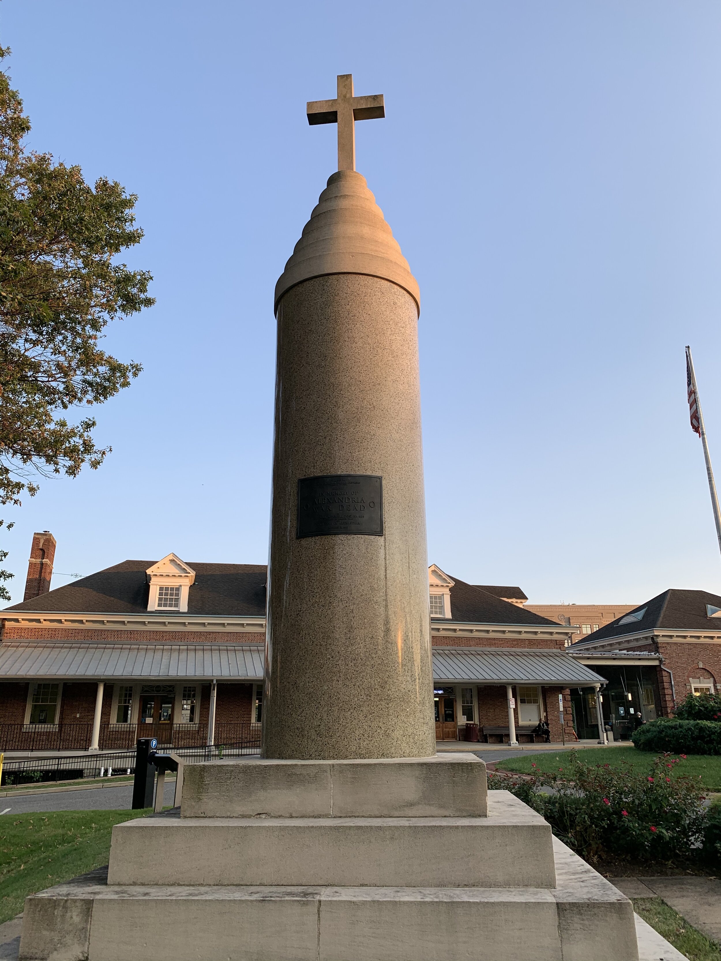

A Lovely Stroll through Huntley Meadows

Type Of Exercise: Walk
Walk Stats:
Distance: 4.13 mi
Duration: 1h 20 mins

This morning I found myself walking the sylvan trails of Huntley Meadows. The area was once a “meandering” of the nearby Potomac River, but was later made an orphaned lake as thousands of years passed and the river “straightened out.”

Having focused my tiny adventures in South Alexandria for the last couple of days, I’ve discovered that a TREMENDOUS amount of land in this area seems to have been owned at one point in history by George Mason and his family. George Mason was a founding father and was essentially George Washington’s next door neighbor.

So, surprise, the land that Huntley Meadows sits on, originally belonged to the Masons. The nearby Huntley Plantation and Huntley House was built by George Mason’s grandson about 20 years after he died.

Gradually the land was sold off to farms and then the US Government bought a significant portion of it in the 1940’s. The government used it to test asphalt for roads, as anti-aircraft battery to defend the capital, and finally as a facility for “highly classified radio communications research.”

In 1975 it was sold to Fairfax county for the immense sum of $1.00. Yep, just a buck. The Coast Guard, however, maintains a presence on a portion of the land, which is still restricted to the public.

Jessi and I find ourselves walking in this park frequently. The park supports a tremendous diversity of plant and wildlife. Among the residents of the park are numerous great blue herons, egrets, green back herons, alligator snapping turtles, painted turtles, frogs, toads, and snakes of various species. I’ve never NOT been blown away by the beauty when I go to this park.

The park has a few small trails and a gorgeous boardwalk that allows visitors to hike over the marshlands. Along the boardwalk are observation points, way-sides, and an observation tower. In the morning, the park is often occupied by small armies of nature photographers with tripods and very large telephoto cameras. I took a picture of their ranks and posted it below.

I would be remiss if I didn’t mention that I can never visit this park without thinking of a dear friend, who passed a few years ago. He came to the park nearly every morning and graced us with his witty observations and beautiful photos on Facebook. We held a memorial hike through the park shortly after he passed.

Once again, the lighting was ideal for pictures over the water and on the trail. The surrounding woodlands glistened with the sparkle of hundreds of HUGE spider webs. Despite the photographer army, it was quiet on the trails. While passing one photographer making his way to another observation point, I heard him telling a story about another photographer, who dropped their tripod in the marsh and had to retrieve it.

Time was running out, so I made my way out of the park along the trail next to it’s winding entrance road began to make my way home.

Here’s a link to the park for anyone interested in checking it out: Click Here

THESE BLOG ENTRIES ARE PART OF MY PARTICIPATION IN MILES FOR HOPE, A MONTH-LONG EVENT TO RAISE AWARENESS AND FUNDS TO HELP MISSING AND EXPLOITED CHILDREN.
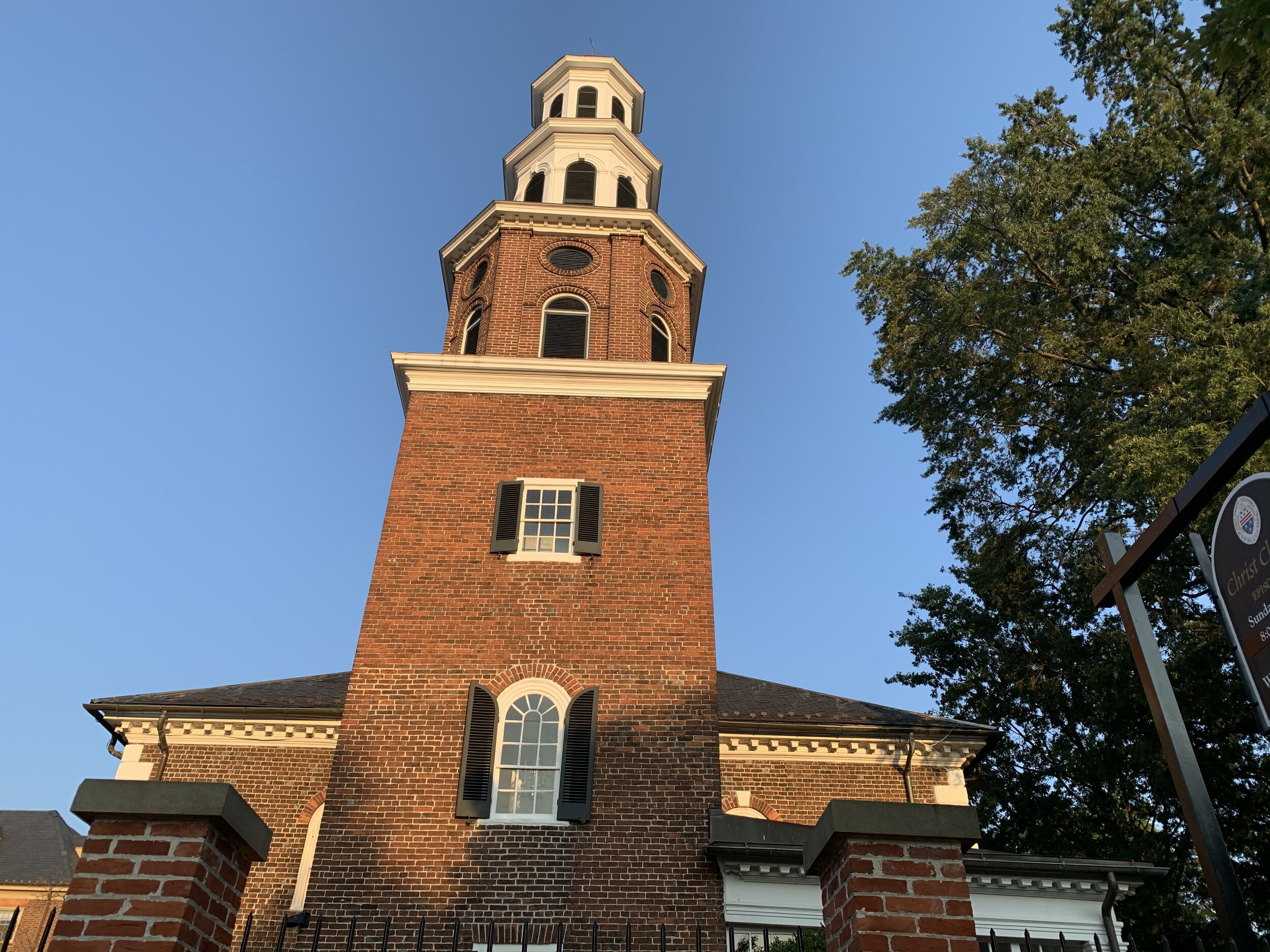
Miles For Hope 2020…

So we’re all holed up at home, and our big adventures are on hold for the foreseeable future. Our semil-annual BIG ADVENTURE trip has been cancelled this year and we are stuck at home. I had a thought…

THIS YEAR, maybe there’s room to share a bunch of TINY adventures with you instead!

I’m resurrecting our adventuring blog for something called Miles for Hope, an event to raise awareness and funds for missing and exploited children!

The event is sponsored by the National Center for Missing and Exploited Children and you can read more about the event here!

Come along with me as I bike/hike/walk miles to nearby local gems in and around the nations capital and write about them, their histories, and give you my weird take on each of these places.

September 1 - Starting Things Out “Flight”

ALEXANDRIA AIRPORT (HYBLA VALLEY AIRPORT)

Type of Exercise: Walk
Walk Stats:
Distance: 4.44 Mi
Time: 1 Hour 25 Minutes

This morning, I took a brisk walk in the dampness to the little-known original site of the Hybla Valley Airport (Fairfax County), which aspired to be known as Alexandria Airport.

It was the very FIRST airport in Virginia to obtain a permit, and it was used by it’s founder, Elvin W. Robertson, as the base for his flight school in 1929. Robertson gave full pilot’s license courses from this field for $200.00 at the time, which you got from the Mt. Vernon School of Aeronautics. The location of this airport is near to the Potomac River, just South of Alexandria and Washington DC. For a time, it was in competition to become THE airport to service all of the Capital Area!

One of it’s crazy cool claims to fame is that it was considered an ideal place for the Hindenburg class Zeppelins to stop to pickup/dropoff mail/passengers!

In the 1940s, the airport was taken over by the military and converted into a training ground for WWII fighter pilots. After that, it was sold to private owners of a nearby airfield (Beacon Field Airport) only a mile away. In 1956, the airport closed, and just 4 years later, the entirety of the field was covered in a new housing development. Something really cool about that development: ALL of the streets are named for aircraft manufacturers.

One more thing…the streets are named after aircraft manufacturers OF THE TIME (and some who still exist). What I mean to say here is that the street names represent both companies that no longer exist and companies, who have merged since and are very well known (like Northrop and Grumman - now Northrop Grumman, and Lockheed - now Lockheed Martin)

Here are some cool examples:
Stinson, Convair, Fairchild, Beechcraft, Piper

The airport is completely gone and has been replaced by a large retail shopping center as well as a residential development (since the 60s) and a school (Hybla Valley Elementary School). The only things that will tell you of the airport are a county commemorative marker erected in 2010 in the shopping center near a Five Guys, and a nearby Memorial down by the Costco on Rt. 1.

You can read more about this awesome airport of a bygone era at in the database of Abandoned & Little Known Airfields here!

Having reached the marker I wound my way back into the neighborhood on a conspicuously named street (Lindberg Drive) and took a picture of the loneliest sycamore tree EVER. It’s the only tree of its species that I’ve been able to find in a 5 mile radius!

I also took some pretty picture of the nearby Huntley Meadow, which was running rather high from the recent rains. Enjoy!

THESE BLOG ENTRIES ARE PART OF MY PARTICIPATION IN MILES FOR HOPE, A MONTH-LONG EVENT TO RAISE AWARENESS AND FUNDS TO HELP MISSING AND EXPLOITED CHILDREN.
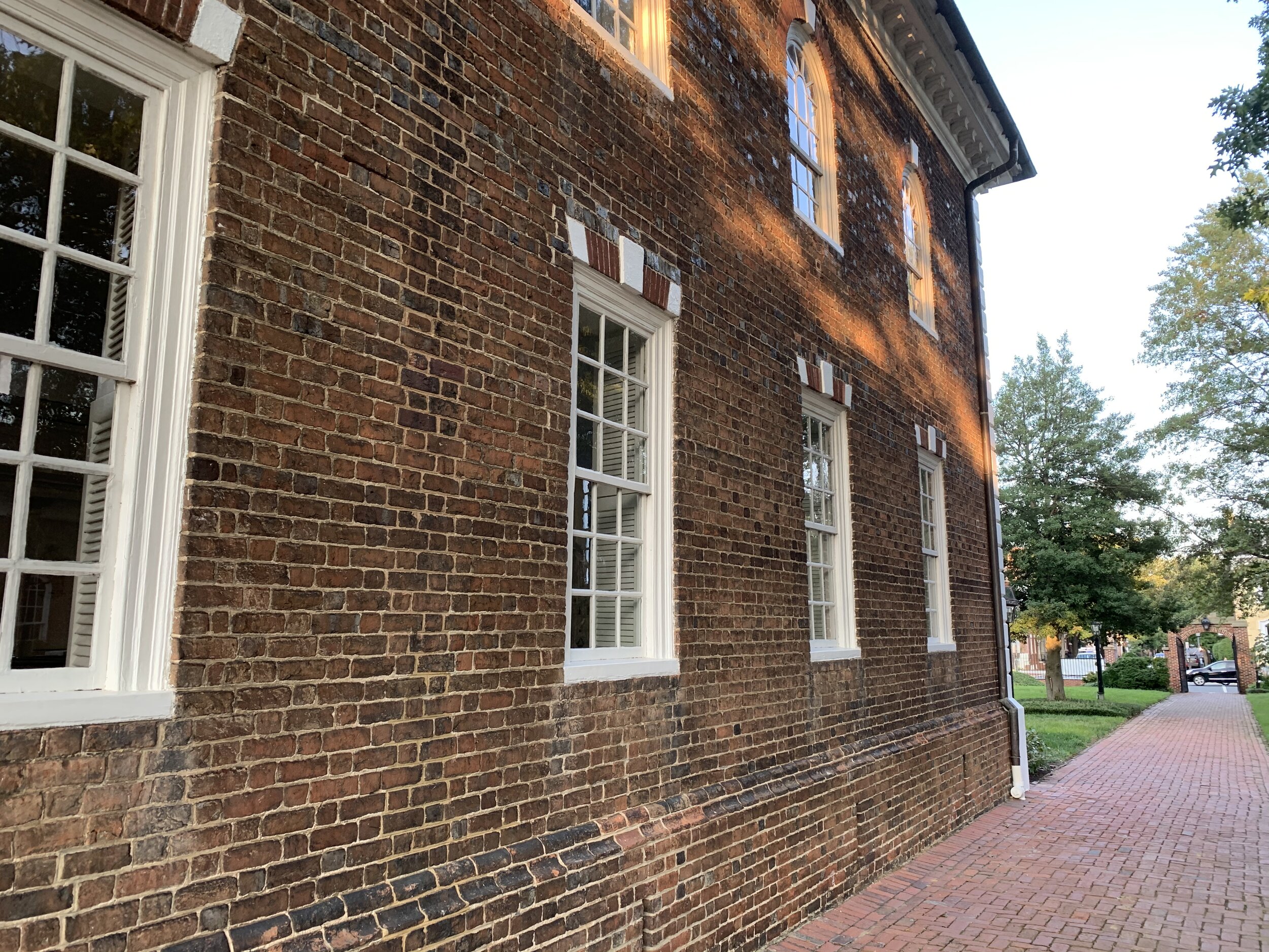
Parks and Mansions - McCutcheon Park and Lamond House

Type of Exercise: Cycling/Biking

Bike Stats:
Distance: 10.2 miles
Time: 55 Minutes
 
This very hazy morning, I mounted the old carbon-fiber horse and made my way over to a park I’ve been passing on my way to work for the past year, McCutcheon Park. It was so incredibly hazy this morning, with the cloud-cover being so low near the river. It made for some INCREDIBLE pictures at the park of sun shimmering through the forest glade!

I have to say that this park was somewhat difficult to enter. I have seen the main entrance from Fort Hunt Road while driving by, however the gravel road at this entrance is steep and the gate is closed. The sign also refers to the caretakers residence, which led me to believe that perhaps this was a private road, and I didn’t want to intrude.

I biked around the park until I found a secret second entrance on a residential street, which leads to the park’s playground. I sloshed in through the wet grass, partially lifting my bike, so as not to leave much of a mark. A quick look at the map, and I knew where I was going…to the mansion!

The land I was walking on was once owned by the granddaughter of founding father George Mason. The land eventually wound up in the hands of the Lamond family (Angus Lamond), who traced their heritage to Scotland. I’ve noticed that early Alexandria history seems to involve quite a number of rich Scots! In the 1940’s the family built this beautiful mansion high on the hill overlooking the Potomac River nearby and Alexandria. The Lamonds were prepared to sell the property in 2000 and it was purchased by Fairfax County and named for the late vice chair of the Fairfax Park Authority, Gilbert S. McCutcheon (another Scottish name?).
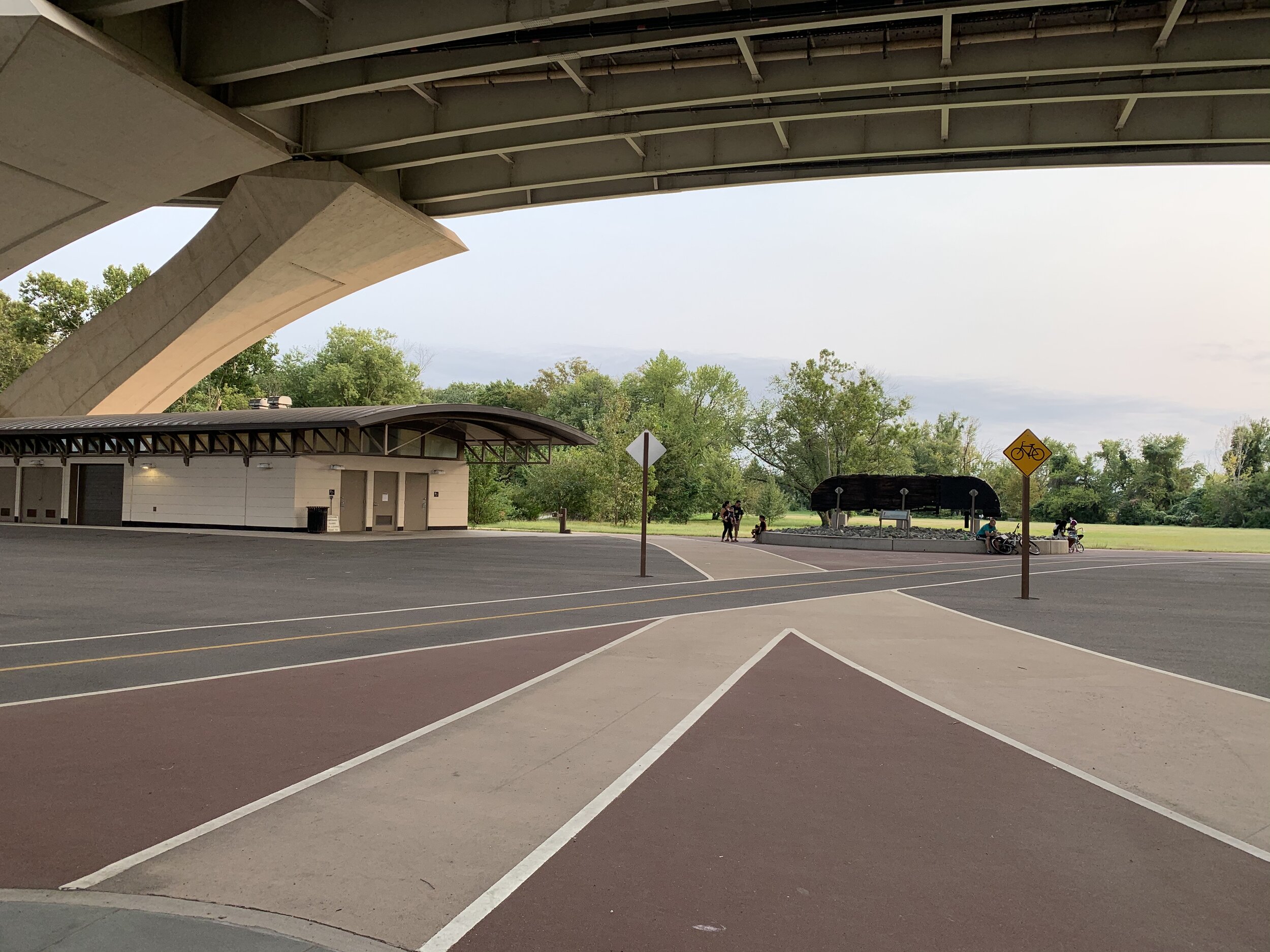
I took a few pictures of the mansion and then I realized, bit to my horror, that the mansion IS the caretakers residence. At this point I made a hasty exit, as 7 AM is quite early for a random man to be prowling around your house with his bicycle! On my way out, I took some ABSOLUTELY GORGEOUS photos of the sunlight shimmering through the haze and the branches of the nearby forest glade. The atmosphere was ethereal, perhaps not unlike morning fog on the Scottish highlands.

On my way out, I pulled out my phone and double checked all my pictures to make sure that I didn’t accidentally have a picture of the caretaker doing his/her morning yoga or something. I don’t know why that was a thought, but I tend to think of the worst case scenario and move from that. Windows were clear…no obscene sun greetings (or any other kinds of obscene greetings), and so I hopped back on the bike and took off.

The park is located in an extremely affluent neighborhood of Alexandria Fairfax County. I decided to take a trip down to the Potomac River and the Mount Vernon Trail. Winding my way through this affluent neighborhood, I quickly became aware that Lamond house was by FAR not the only palatial mansion in the neighborhood. People were out and about walking dogs and jogging. Sprinklers were sprinkling and there was nary a car in sight until I made it down to the George Washington Memorial Parkway. I scouted ahead on the trail for a prospective site for later this month and then retraced my path home! WHEW

It was a short 10-mile ride in about 45 minutes, but I have not been on my bike in quite a while, and I’m waaaaay out shape. I was glad to be home and near to a supply of caffeine. It was time to log into work!

THESE BLOG ENTRIES ARE PART OF MY PARTICIPATION IN MILES FOR HOPE, A MONTH-LONG EVENT TO RAISE AWARENESS AND FUNDS TO HELP MISSING AND EXPLOITED CHILDREN.